 Hilton Head
Start with the parks & wild places
The heart of this archive is outdoors — refuge trails, a creekside park, plantation gardens, and the water between the islands. Start there; the storefronts can wait their turn.
Pinckney Island
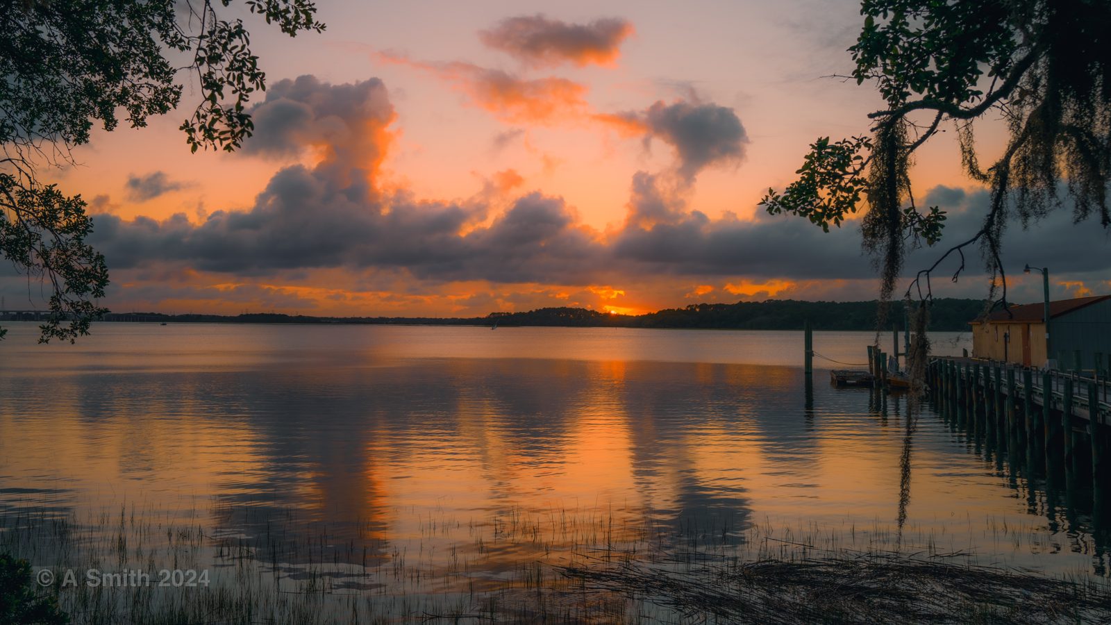
A wildlife refuge of trails, marsh, and tidal creeks between Bluffton and Hilton Head — sunsets over Skull Creek included. Its nine trail routes each get their own page next.
View the spot →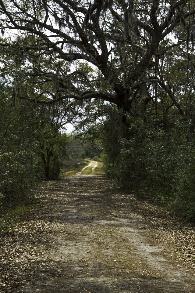
Pinckney Island Trails
Ibis Pond, White's Point, Clubhouse Pond, Osprey Pond and more — 145 photos in the archive from the refuge's trails, ponds and points.
See the trails on the Pinckney page →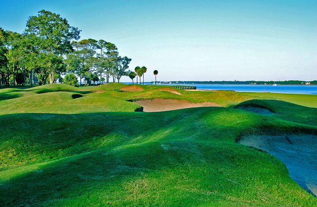
Daufuskie Island
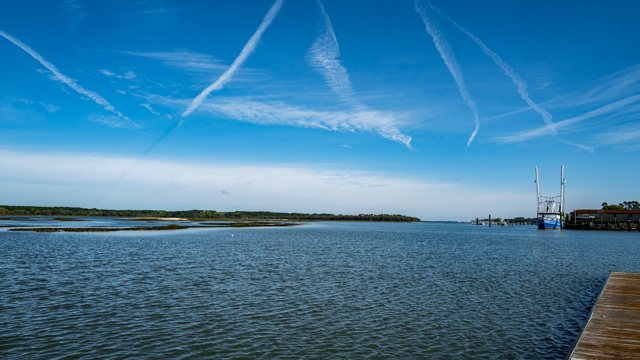
Reachable only by boat — oak lanes, quiet beaches, and a golf course that finishes on the sound. Haig Point, at the island's north end, gets its own page next.
View the spot →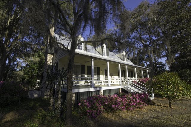
Old Town Bluffton
Calhoun Street, the May River, and antebellum houses like the Heyward House under the oaks.
View the spot →Fish Haul Beach
A quiet locals' beach park on the island's north end, looking across Port Royal Sound.
Coming soon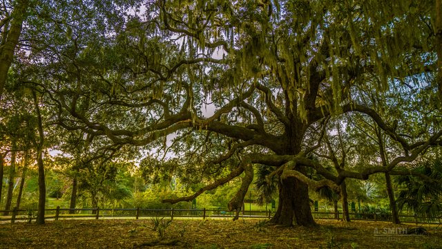
Jarvis Creek Park
A 53-acre park on the island’s north end: a paved loop around Lake Liggett, a fishing dock, and a fitness trail through the pines.
View the spot →Parks & places getting their own pages next
Harbour Town & Sea Pines — the lighthouse and yacht basin at golden hour, 114,884 views around the harbour alone, plus the view across Calibogue Sound to Daufuskie.
The remaining golf courses in the archive — Berkeley Hall (925,207 views), Hilton Head Lakes, Brays Island, Melrose on Daufuskie, and the Legends course on Parris Island. Moss Creek and Hilton Head National already have their pages.
Each page arrives as its photos are pulled from the archive — no stock, no filler.
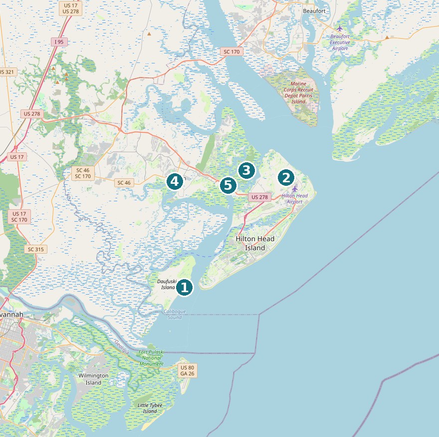
Where the spots are
- 1Daufuskie Island
- 2Fish Haul Beach
- 3Pinckney Island
- 4Old Town Bluffton
- 5The bridge to Hilton Head
Pins sit on the spots' real GPS coordinates from the photo archive. Map © OpenStreetMap contributors.
And when the road calls…
The archive wanders, too — Savannah's Forsyth Park fountain, Edinburgh, Orlando, and more. Those live in a small Field Trips corner of the site, separate from the hometown spots.