Home › Parks › Pinckney Island

Pinckney Island Photos

Pinckney Island National Wildlife Refuge · between Bluffton & Hilton Head Island
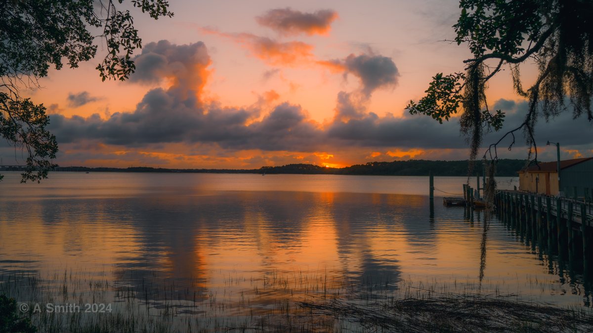
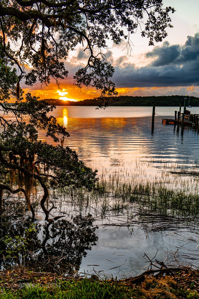
Sunset at the landing. Sunset over Skull Creek from the dock on Pinckney Island’s south shore.

Sunset at the landing. Sunset over Skull Creek from the dock on Pinckney Island’s south shore. 41,000 views on Google Maps · Photo taken Jun 2024
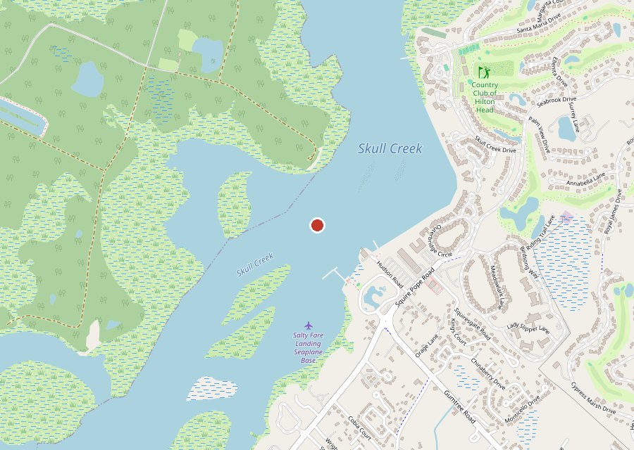
Map of Pinckney Island on Pinckney Island
Where it is. The pin is the refuge landing on the south shore of Pinckney Island, off US 278 between Bluffton and Hilton Head Island. Tap the map to open it in Google Maps. Map © OpenStreetMap contributors.
The landing view. Sunset through the oaks. The dock at sunset. Through the branches. Oak and palmetto. Storm light. Along the dock. The marsh flats. Last light. The entrance marsh. Driftwood on the marsh. The south shore. The causeway. The entrance path. The mossy oak. The path in. Sunset clouds. Through the oaks.

Pinckney Island is a 4,053-acre national wildlife refuge on Skull Creek, reached from US 278 between Bluffton and Hilton Head Island. Most visits start and end at the landing on the south shore — the dock, the oaks, and the sunset over the creek are the refuge’s signature view, and they anchor this page. Beyond the landing, gravel roads and trails cross the island: to Ibis Pond, Osprey Pond, Starr Pond, Nini Chapin Pond and Clubhouse Pond, out to White Point and the Dick Point shore, and through the marsh and back roads between them — each with its own page. This photo has been viewed 41,000 times on Google Maps.

Key Takeaways

  • The landing on the south shore is the refuge’s front porch — dock, oaks and sunset over Skull Creek.
  • Gravel roads and trails reach every corner: ponds, marsh, and the north-end shore at White Point.
  • The refuge is free and open daily, sunrise to sunset; the interior is explored on foot or by bike.
  • 19 photos on this page — 192,080 views on Google Maps.

Tagged Features

The landing & dockSunsets over Skull CreekThe entrance marsh & causewayRefuge roads & trailsSalt marsh & tidal creeks
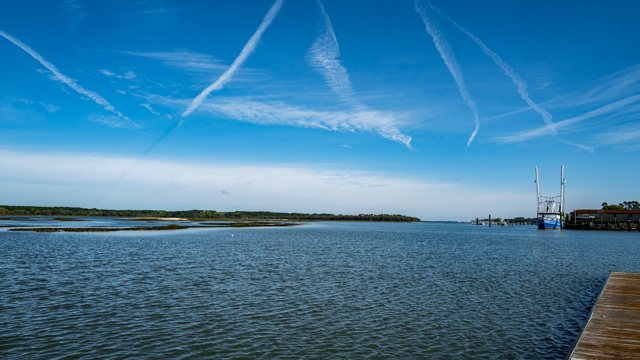
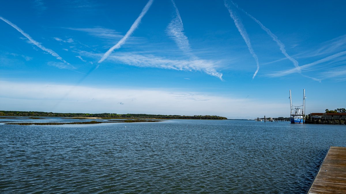
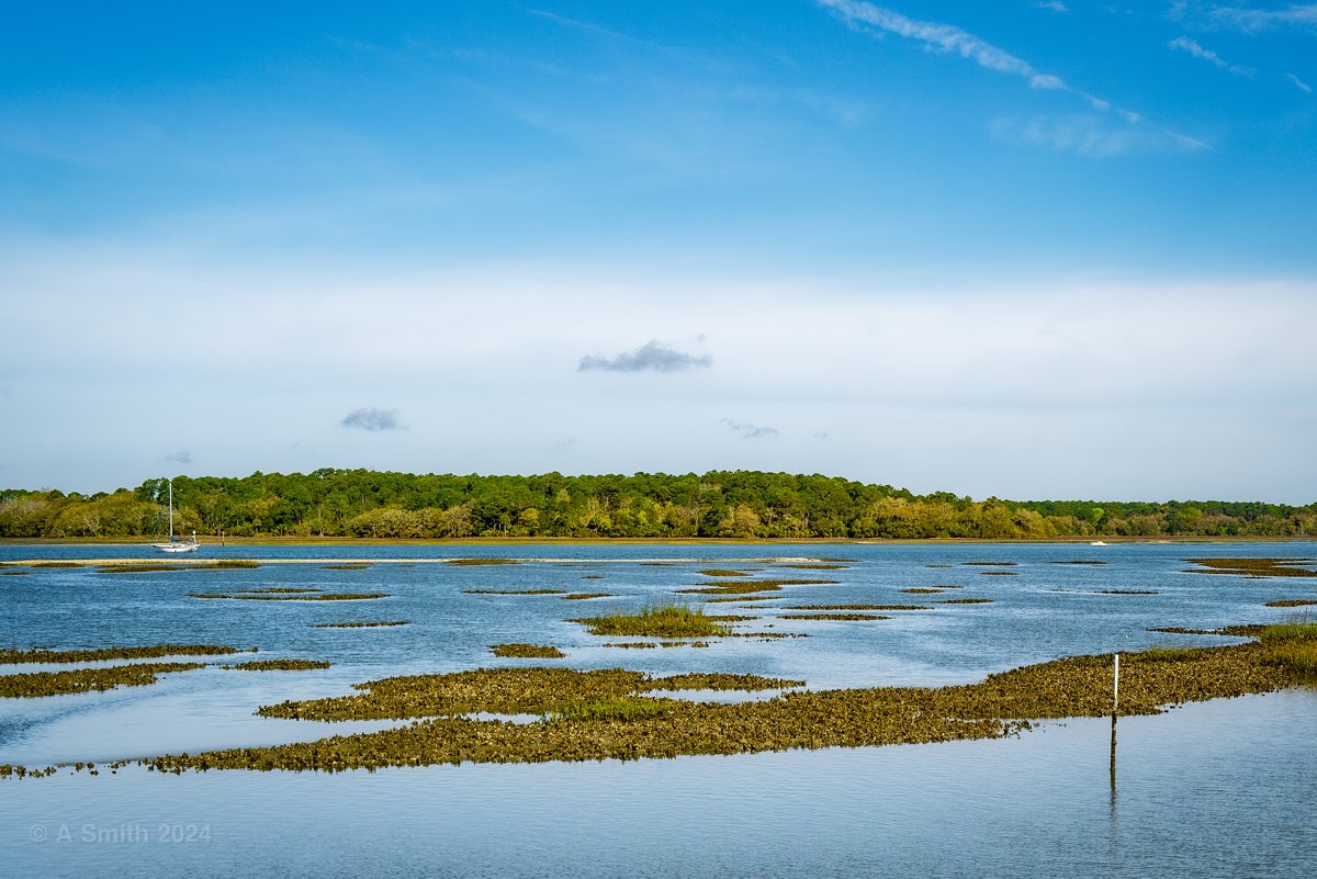
The landing view. Skull Creek from the landing — a shrimp boat rides at anchor across the water.
The landing view. Skull Creek from the landing — a shrimp boat rides at anchor across the water. 33,890 views on Google Maps · Photo taken Mar 2024
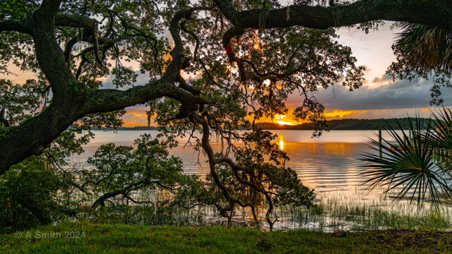
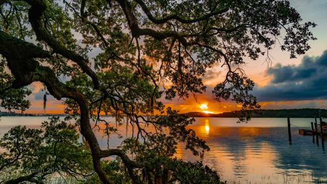
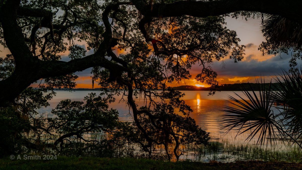
Sunset through the oaks. The setting sun fires the creek through the oak canopy at the landing.
Sunset through the oaks. The setting sun fires the creek through the oak canopy at the landing. 26,705 views on Google Maps · Photo taken Jun 2024
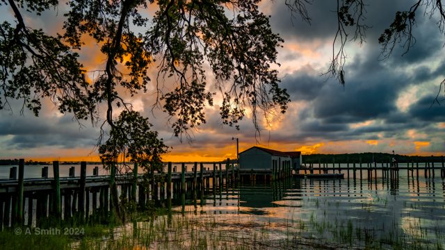
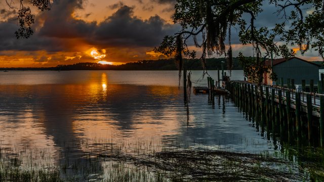
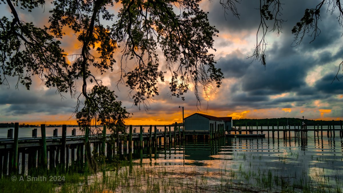
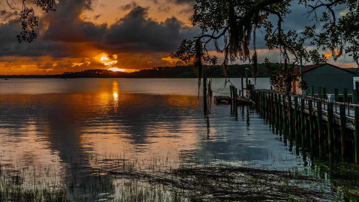
The dock at sunset. Storm clouds and last light over the landing’s dock and boathouse.
The dock at sunset. Storm clouds and last light over the landing’s dock and boathouse. 24,511 views on Google Maps · Photo taken Jun 2024
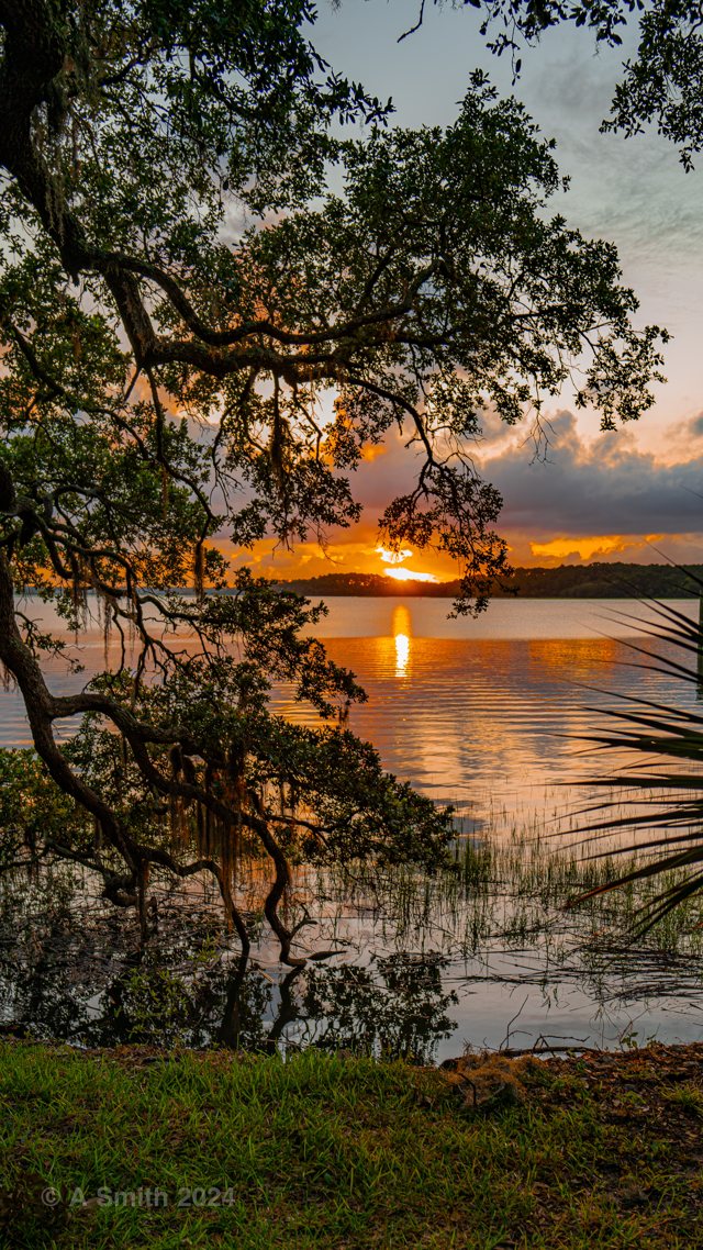
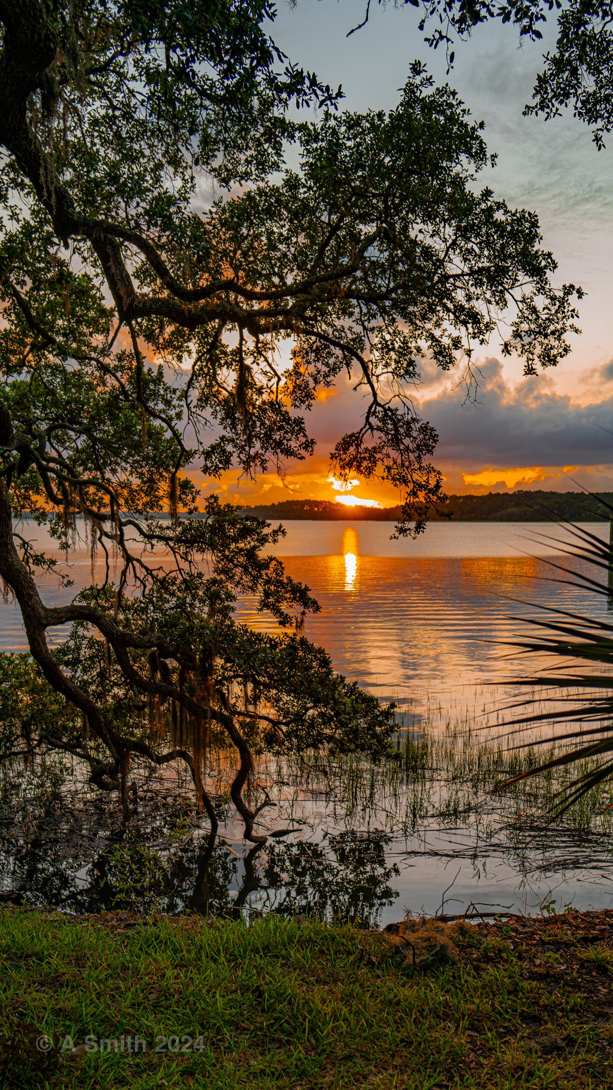
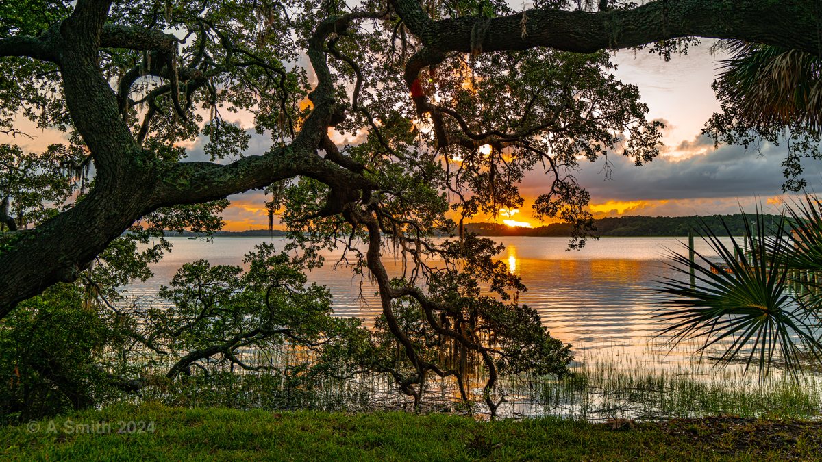
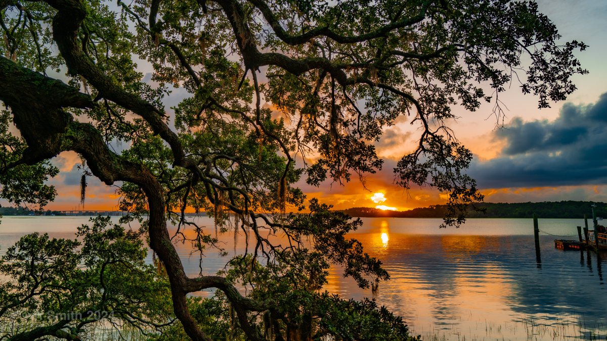
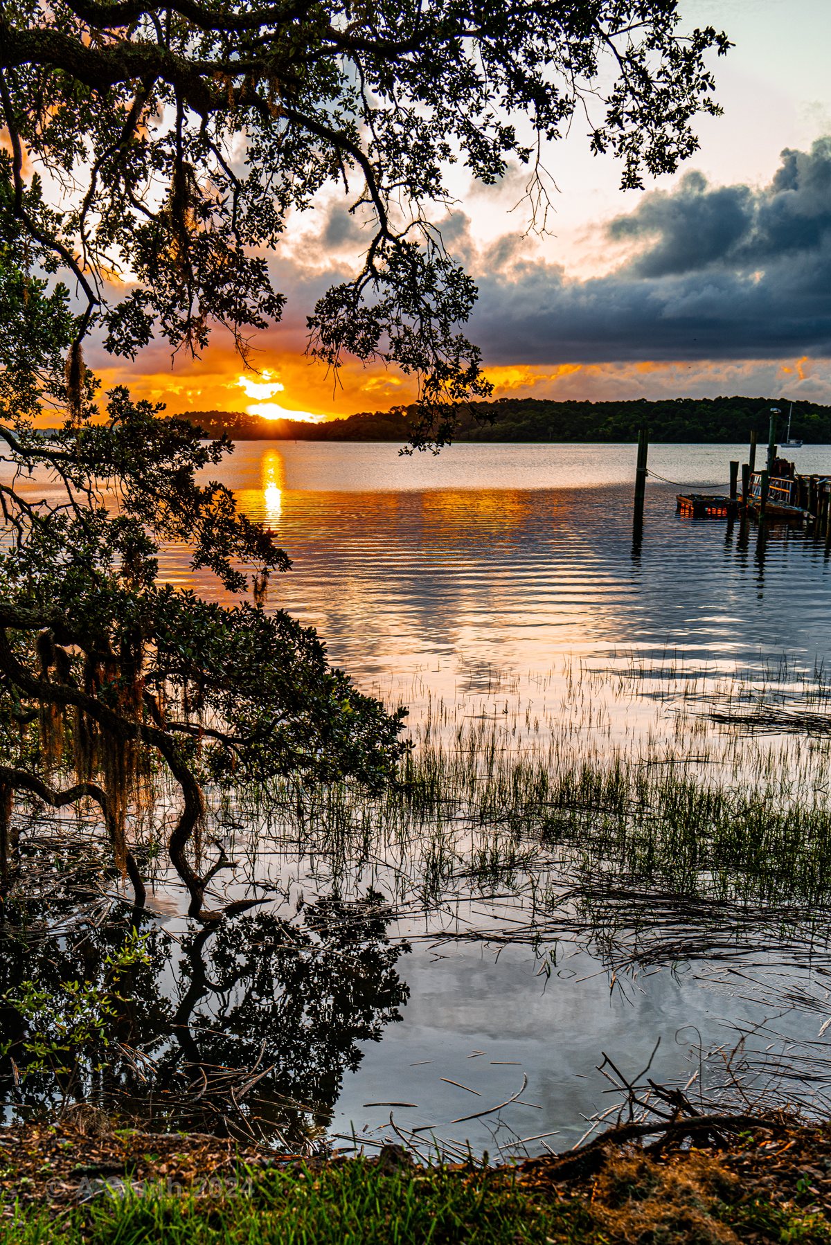
Through the branches. Sunset over the creek, framed by live oak limbs.
Through the branches. Sunset over the creek, framed by live oak limbs. 14,458 views on Google Maps · Photo taken Jun 2024
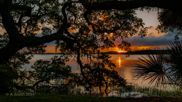
Oak and palmetto. The sun sets behind the oaks at the water’s edge.
Oak and palmetto. The sun sets behind the oaks at the water’s edge. 14,073 views on Google Maps · Photo taken Jun 2024
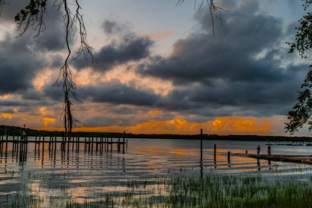
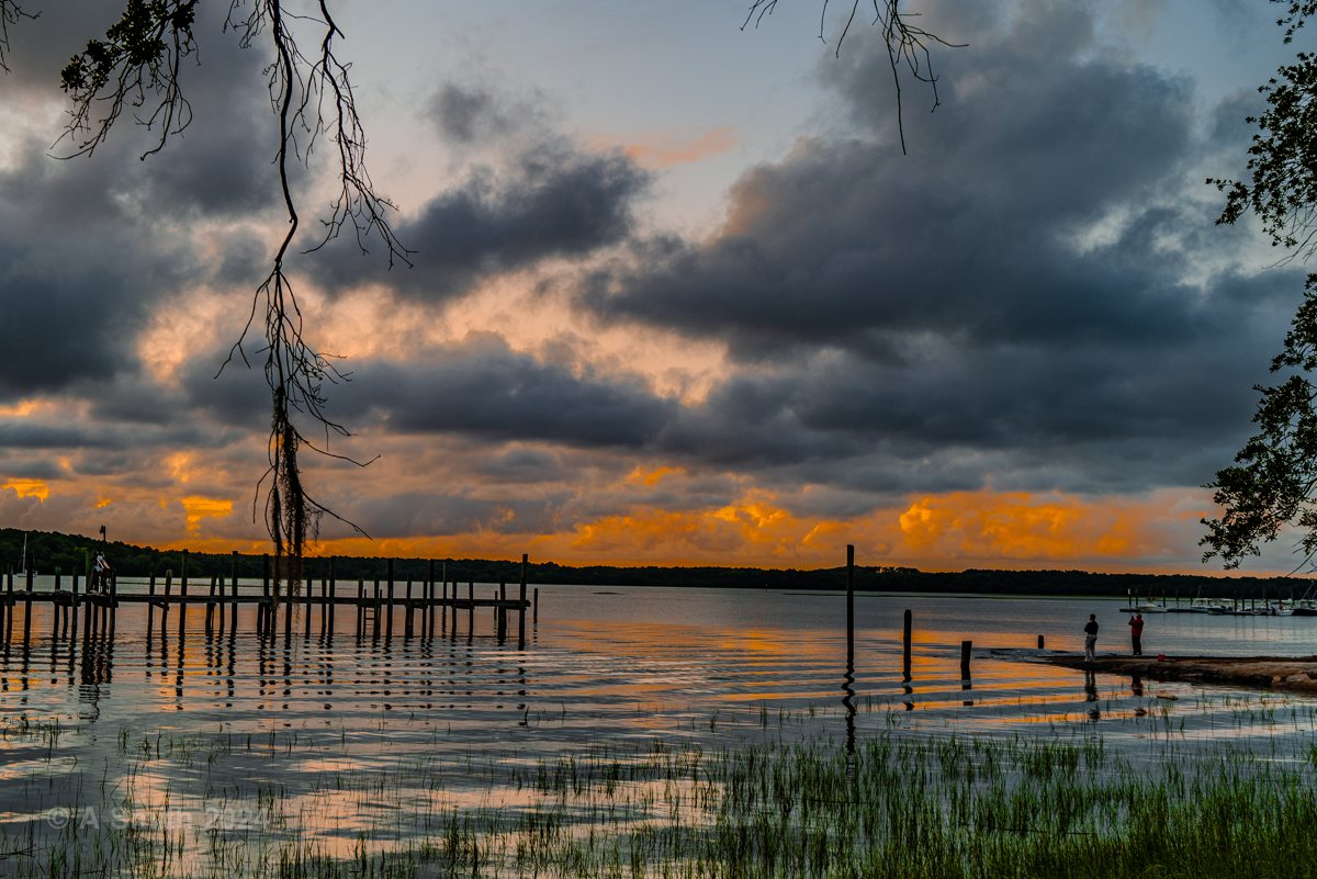
Storm light. Heavy clouds over the old dock pilings at the landing.
Storm light. Heavy clouds over the old dock pilings at the landing. 13,968 views on Google Maps · Photo taken Jun 2024
Along the dock. Evening light on the water beside the landing dock.
Along the dock. Evening light on the water beside the landing dock. 13,954 views on Google Maps · Photo taken Jun 2024
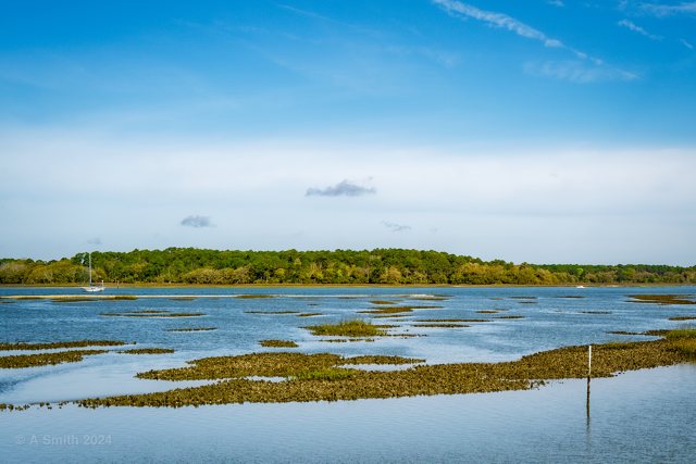
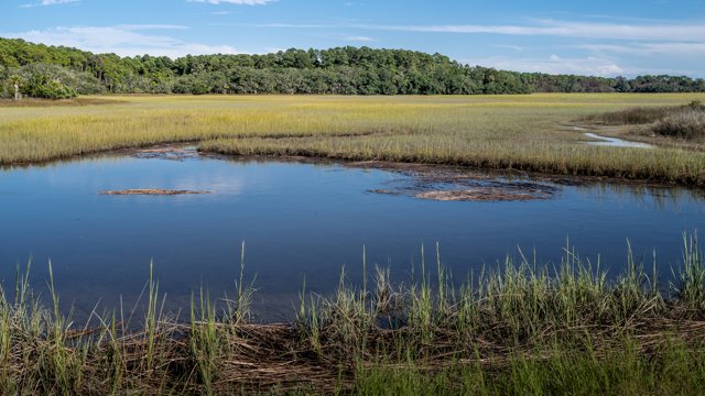
The marsh flats. Low tide opens the flats on the refuge’s south shore.
The marsh flats. Low tide opens the flats on the refuge’s south shore. 3,393 views on Google Maps · Photo taken Mar 2024
Last light. The sun drops through the oaks at the end of the day.
Last light. The sun drops through the oaks at the end of the day. 2,359 views on Google Maps · Photo taken Jun 2024
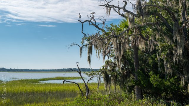
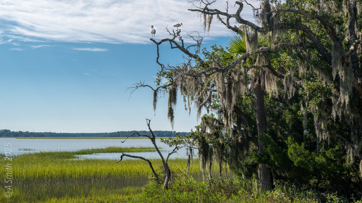
The entrance marsh. Marsh and moss-draped oaks greet visitors at the refuge entrance.
The entrance marsh. Marsh and moss-draped oaks greet visitors at the refuge entrance. 1,136 views on Google Maps · Photo taken Sep 2025
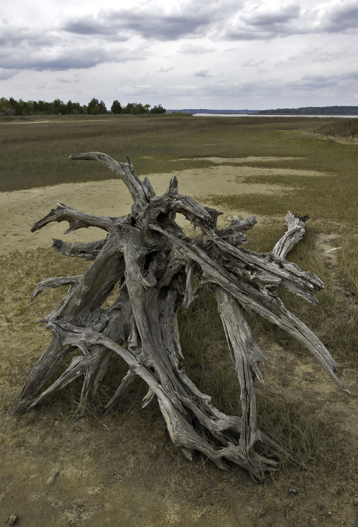
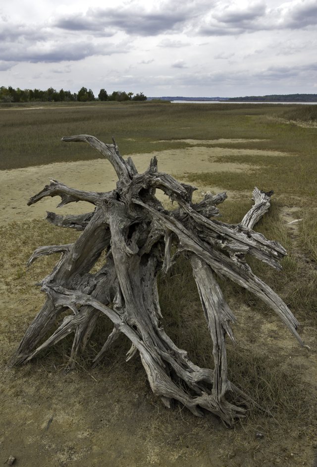
Driftwood on the marsh. A weathered stump stands on the open marsh near the entrance.
Driftwood on the marsh. A weathered stump stands on the open marsh near the entrance. 885 views on Google Maps · Photo taken Nov 2018
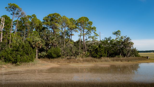
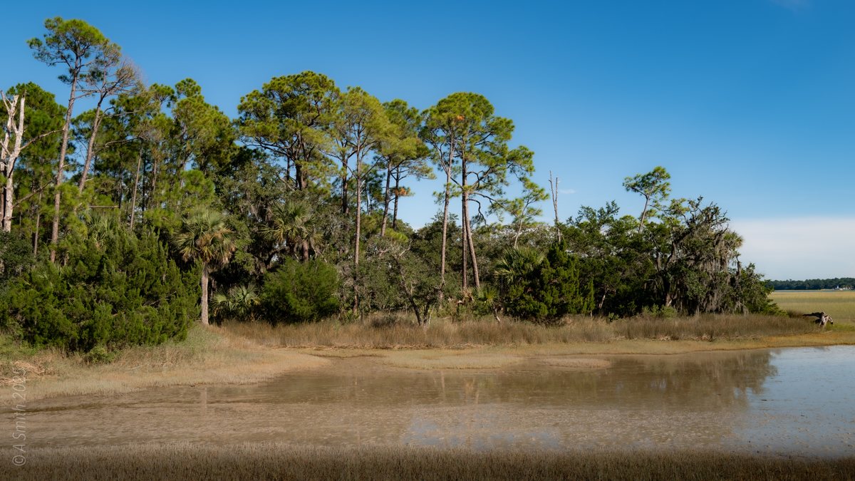
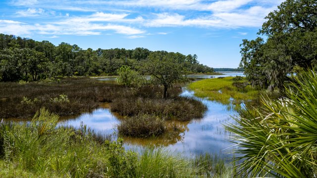
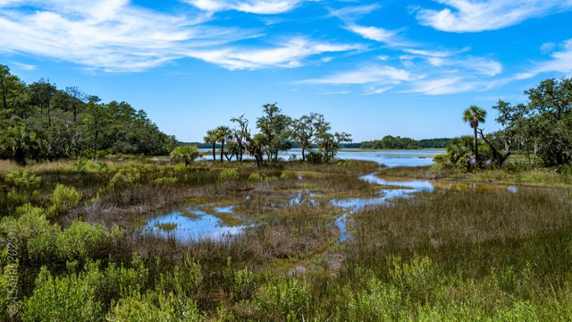
The south shore. Pines and palmettos over a tidal pond on the south shore.
The south shore. Pines and palmettos over a tidal pond on the south shore. 706 views on Google Maps · Photo taken Sep 2025
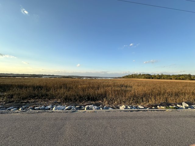
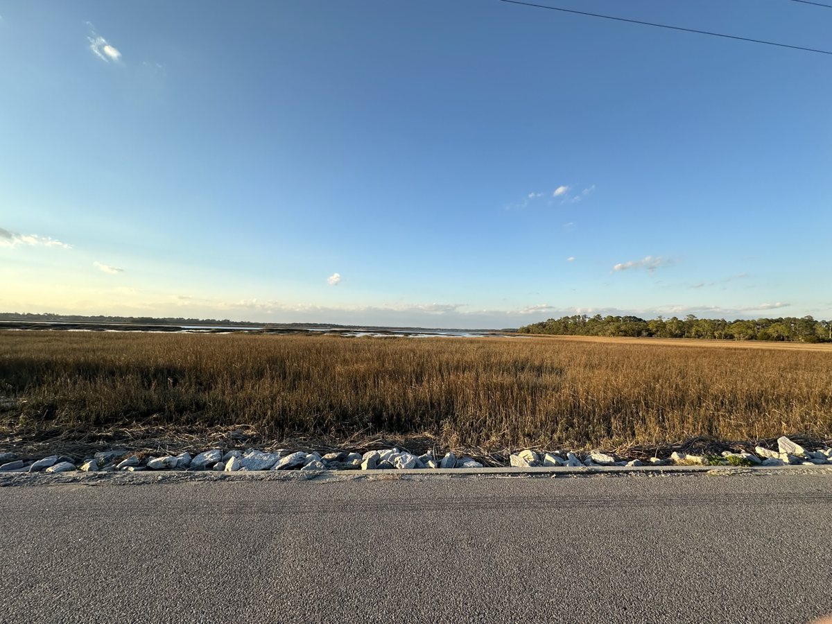
The causeway. The entrance road crosses the marsh on the way onto the island.
The causeway. The entrance road crosses the marsh on the way onto the island. 551 views on Google Maps · Photo taken Jan 2024
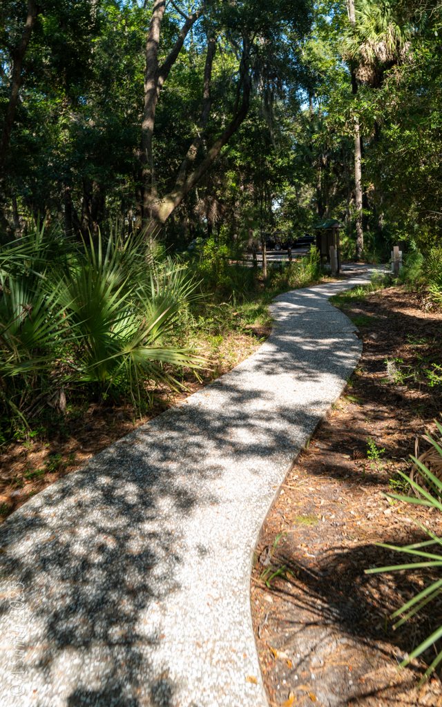
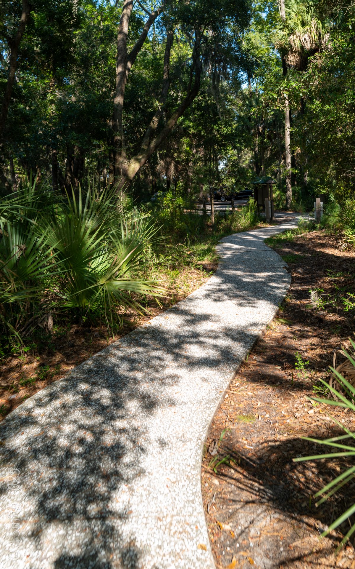
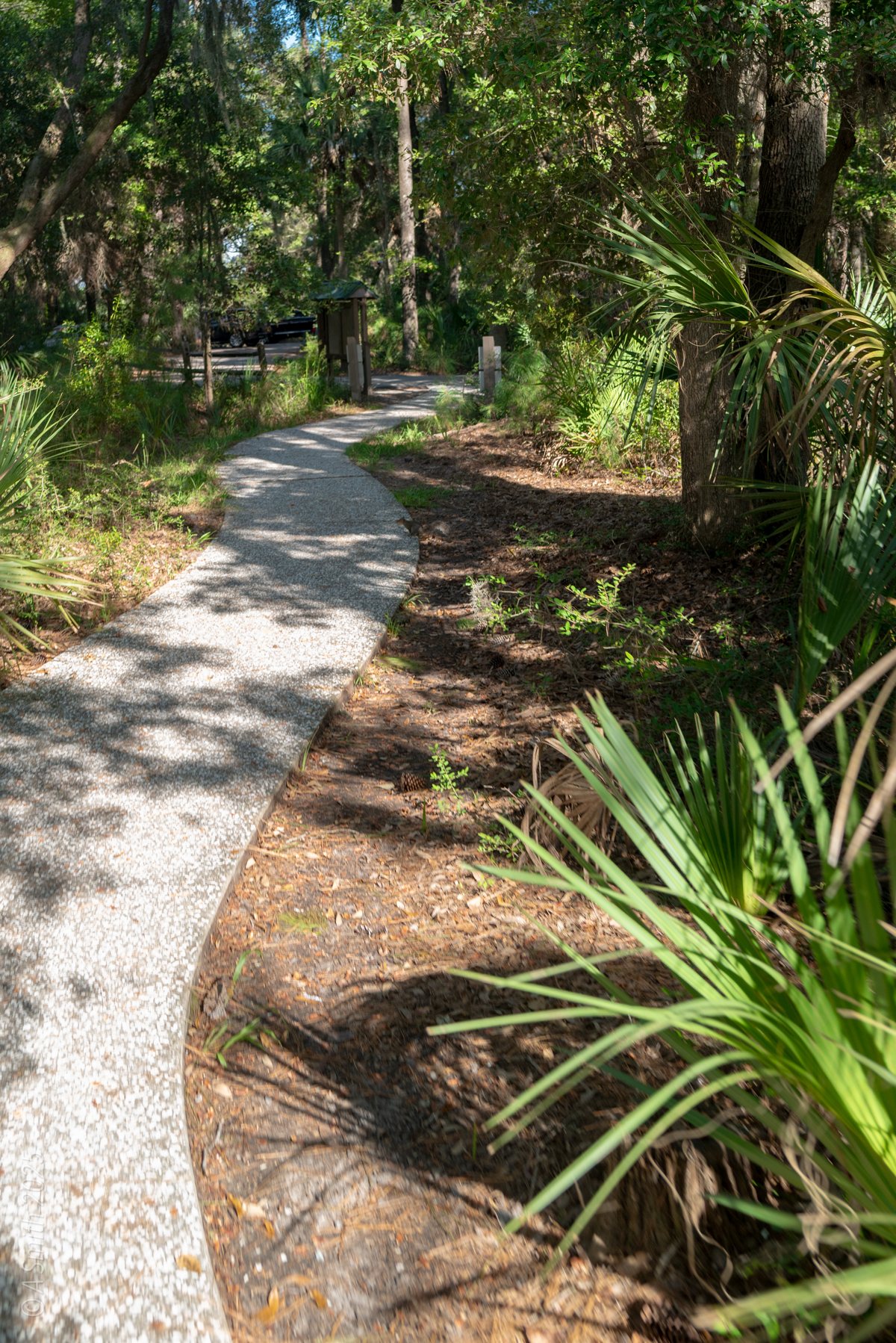
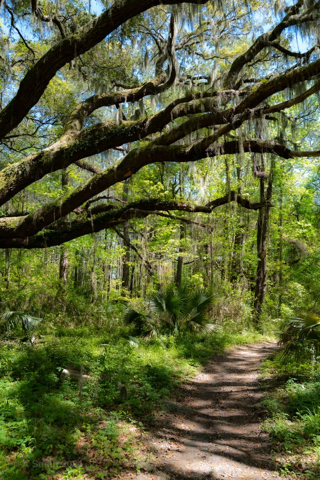
The entrance path. A crushed-shell path leads into the maritime forest.
The entrance path. A crushed-shell path leads into the maritime forest. 371 views on Google Maps · Photo taken Sep 2025
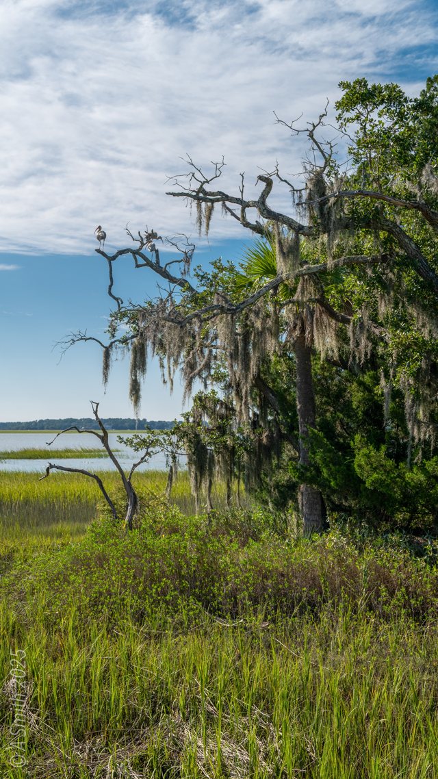
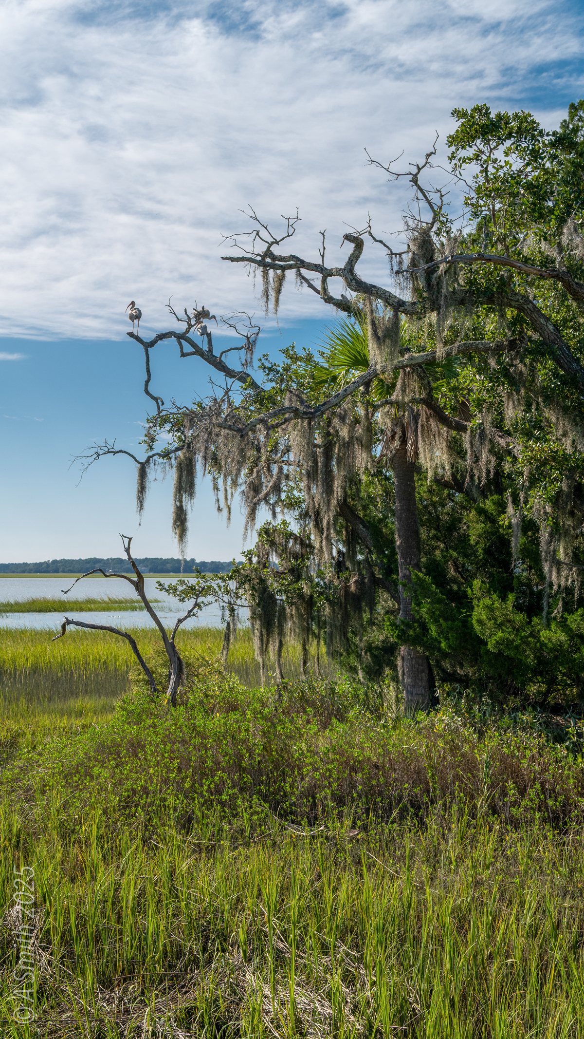
The mossy oak. Spanish moss hangs over the marsh at the shore.
The mossy oak. Spanish moss hangs over the marsh at the shore. 75 views on Google Maps · Photo taken Sep 2025
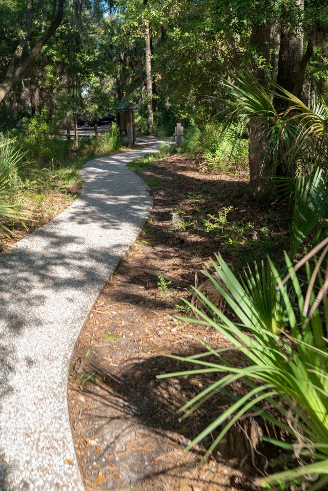
The path in. The entrance path bends toward the refuge’s interpretive sign.
The path in. The entrance path bends toward the refuge’s interpretive sign. 33 views on Google Maps · Photo taken Sep 2025
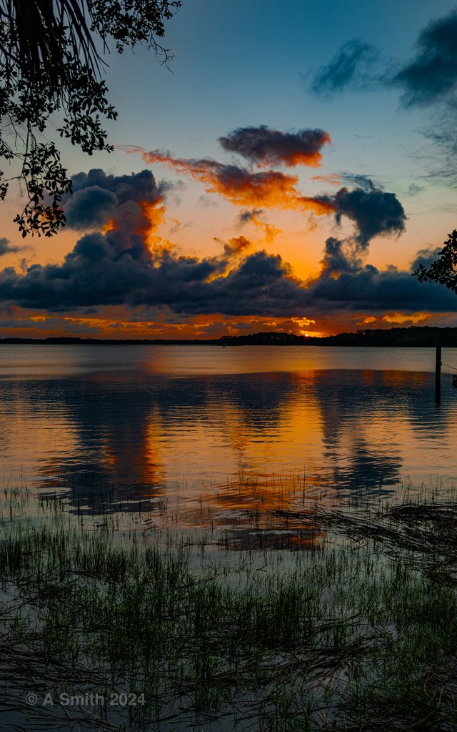
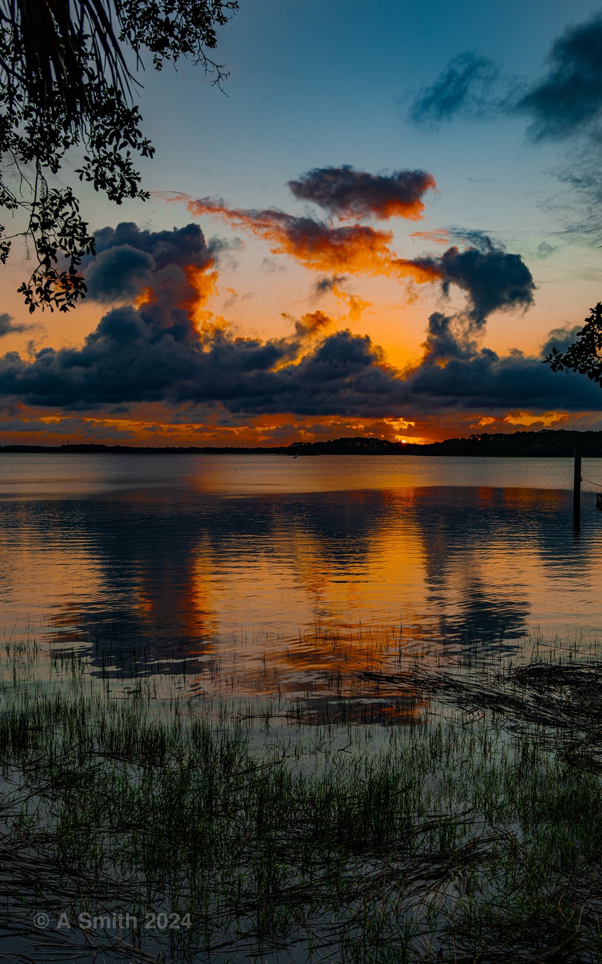
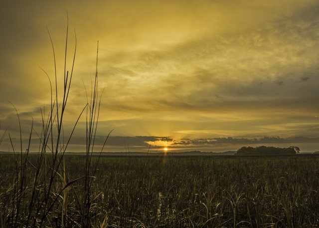
Sunset clouds. Evening color stacks over the creek.
Sunset clouds. Evening color stacks over the creek. 7 views on Google Maps · Photo taken Jun 2024
Through the oaks. Sunset glows through the oak trunks at the landing.
Through the oaks. Sunset glows through the oak trunks at the landing. 5 views on Google Maps · Photo taken Jun 2024
See Pinckney Island on Google Maps

19 photos: 192,080 views on Google Maps — and counting.
Home › Parks › Pinckney Island

Browse by subject

Marsh & Water (20) Beaches (10) Gardens & Flowers (8) Historic (5) Golf (5) Sunrises (4) Birds & Wildlife (4)