Home › Parks › Pinckney Island › Nini Chapin Pond

Nini Chapin Pond Photos

Pinckney Island National Wildlife Refuge
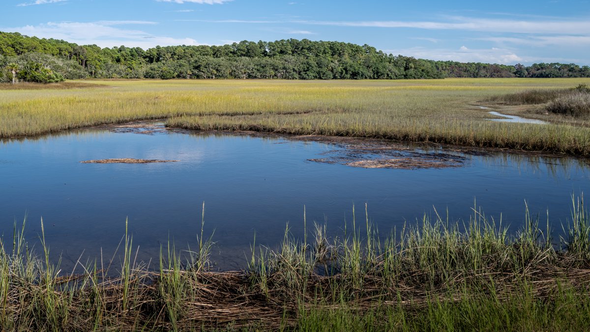
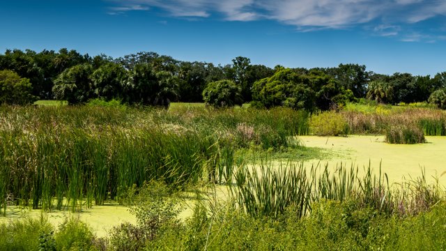
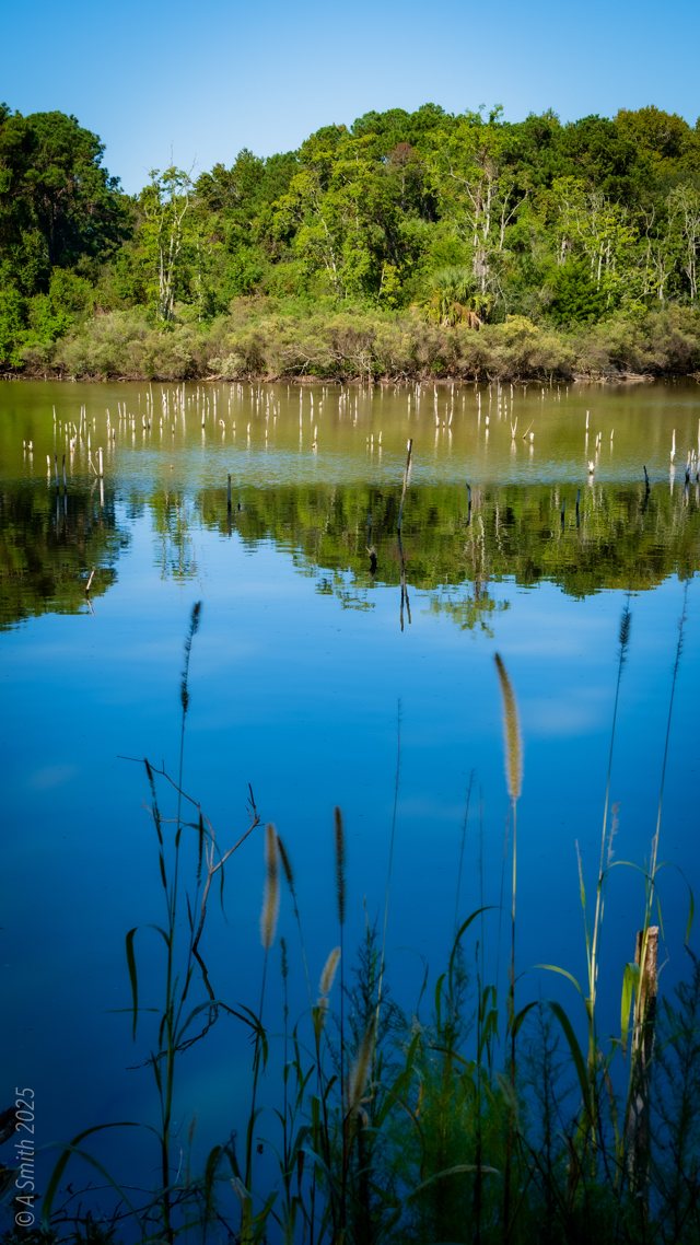
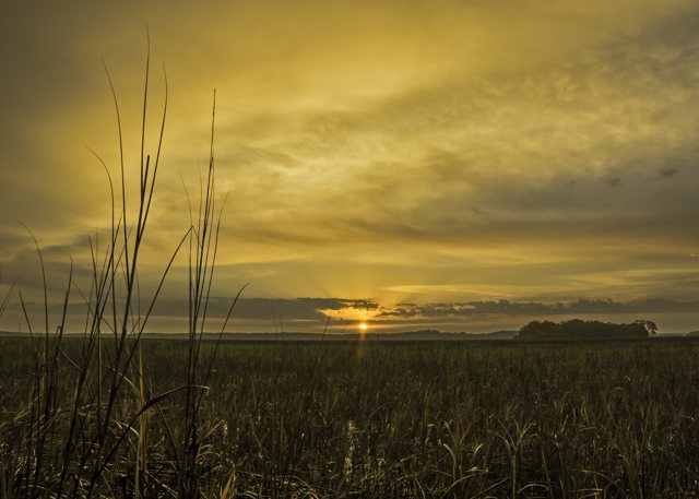
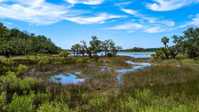
Nini Chapin Pond. A marshy pool ringed with grass at the end of the refuge roads.

Nini Chapin Pond. A marshy pool ringed with grass at the end of the refuge roads. 1,633 views on Google Maps · Photo taken Sep 2025
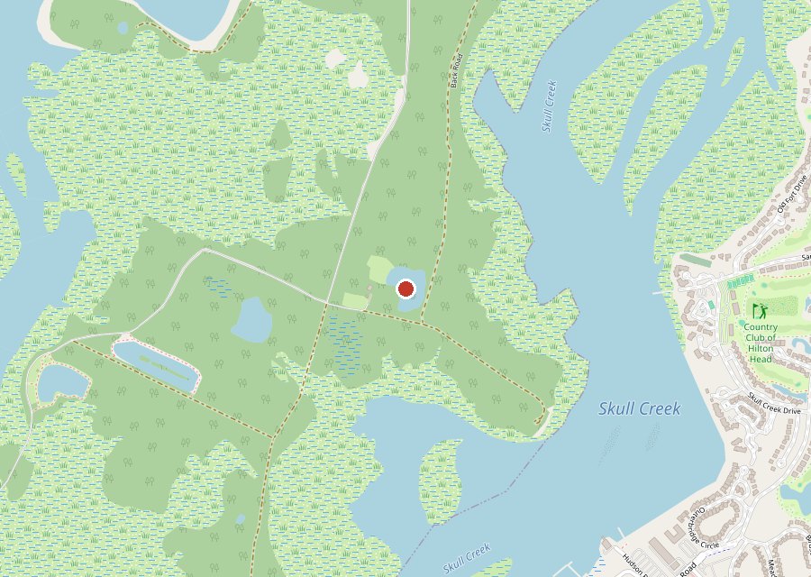
Map of Nini Chapin Pond on Pinckney Island
Where it is. The pin is Nini Chapin Pond, in the interior of Pinckney Island. Tap the map to open it in Google Maps. Map © OpenStreetMap contributors.
The road past the pond. The oak view. The oak tunnel. The pine road. A grass track. The meadow track. Tall pines. The sand track. The mowed track. A winter trail.

Nini Chapin Pond sits in the middle of Pinckney Island where the refuge’s roads and tracks braid together — the biking and hiking heart of the island. The pond itself is a marshy pool at the edge of the woods. Most of the photos here are of the getting there: oak tunnels, pine-lined sand roads, grass tracks and meadow two-tracks, in summer green and January brown. This photo has been viewed 1,633 times on Google Maps.

Key Takeaways

  • Nini Chapin Pond sits where the refuge’s roads and tracks braid together.
  • The pond is a marshy pool at the edge of the woods.
  • Oak tunnels and pine-lined sand roads lead in from every direction.
  • 11 photos · 7,504 views on Google Maps.
Tagged Features

The marshy pondOak-canopy roadsPine-lined sand roadsGrass tracks & two-tracksMarsh views
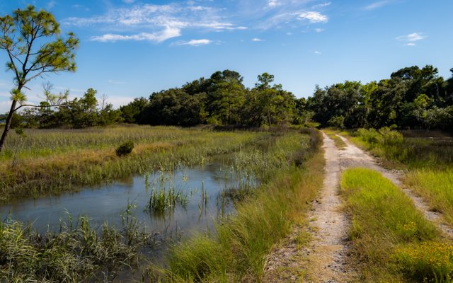
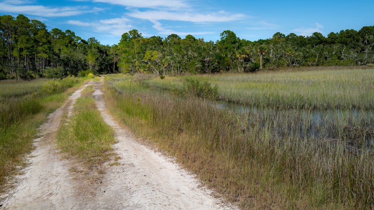
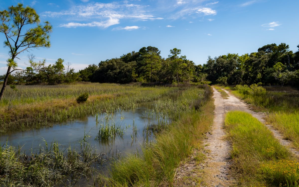
The road past the pond. A sandy two-track runs beside the marsh at Nini Chapin Pond.
The road past the pond. A sandy two-track runs beside the marsh at Nini Chapin Pond. 1,414 views on Google Maps · Photo taken Sep 2025
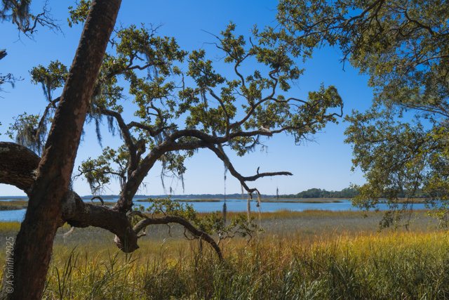
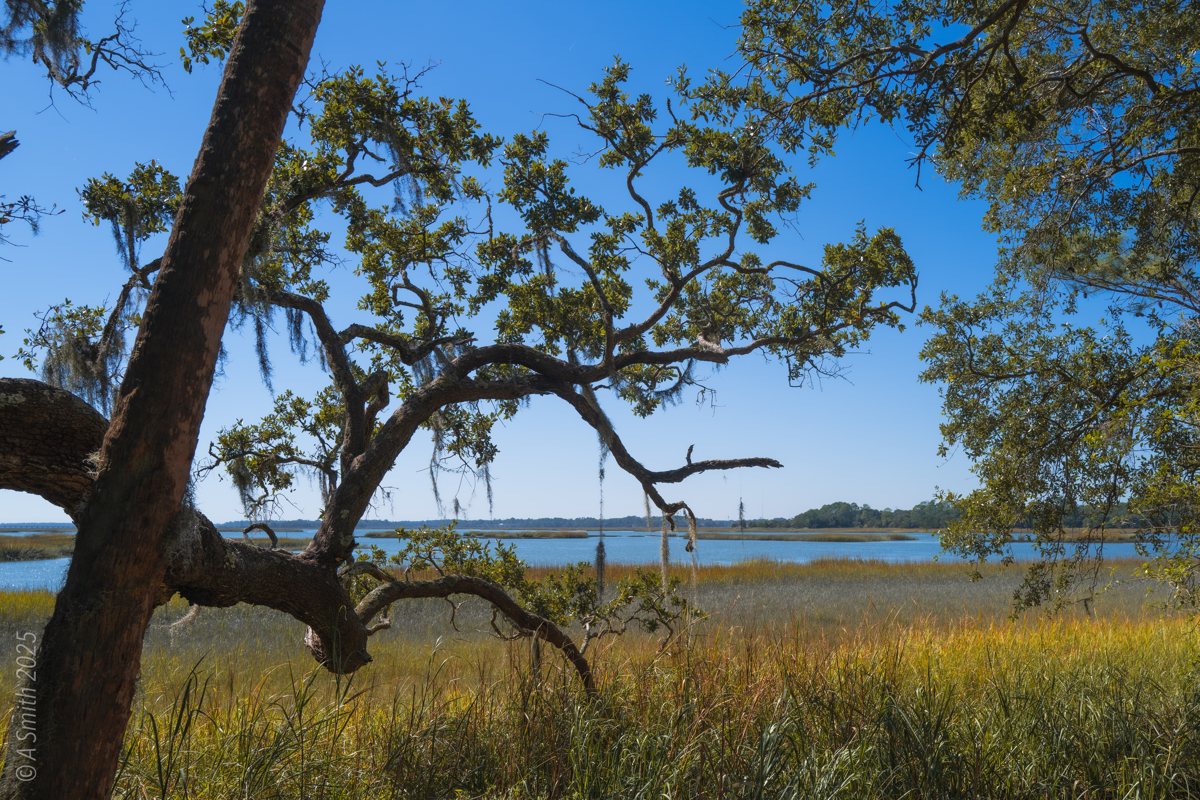
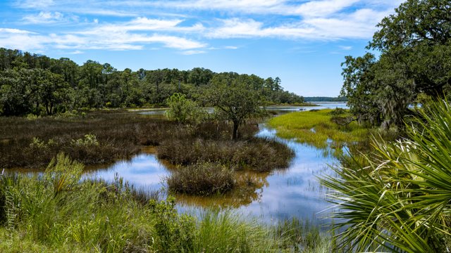
The oak view. A leaning live oak frames marsh and open water beyond the pond.
The oak view. A leaning live oak frames marsh and open water beyond the pond. 1,368 views on Google Maps · Photo taken Oct 2025
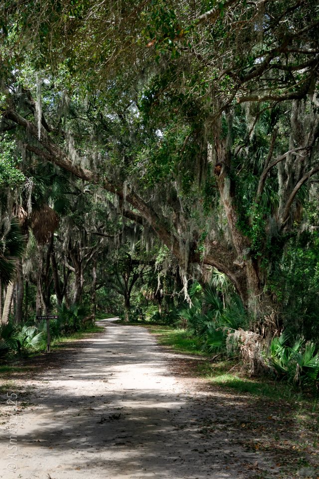
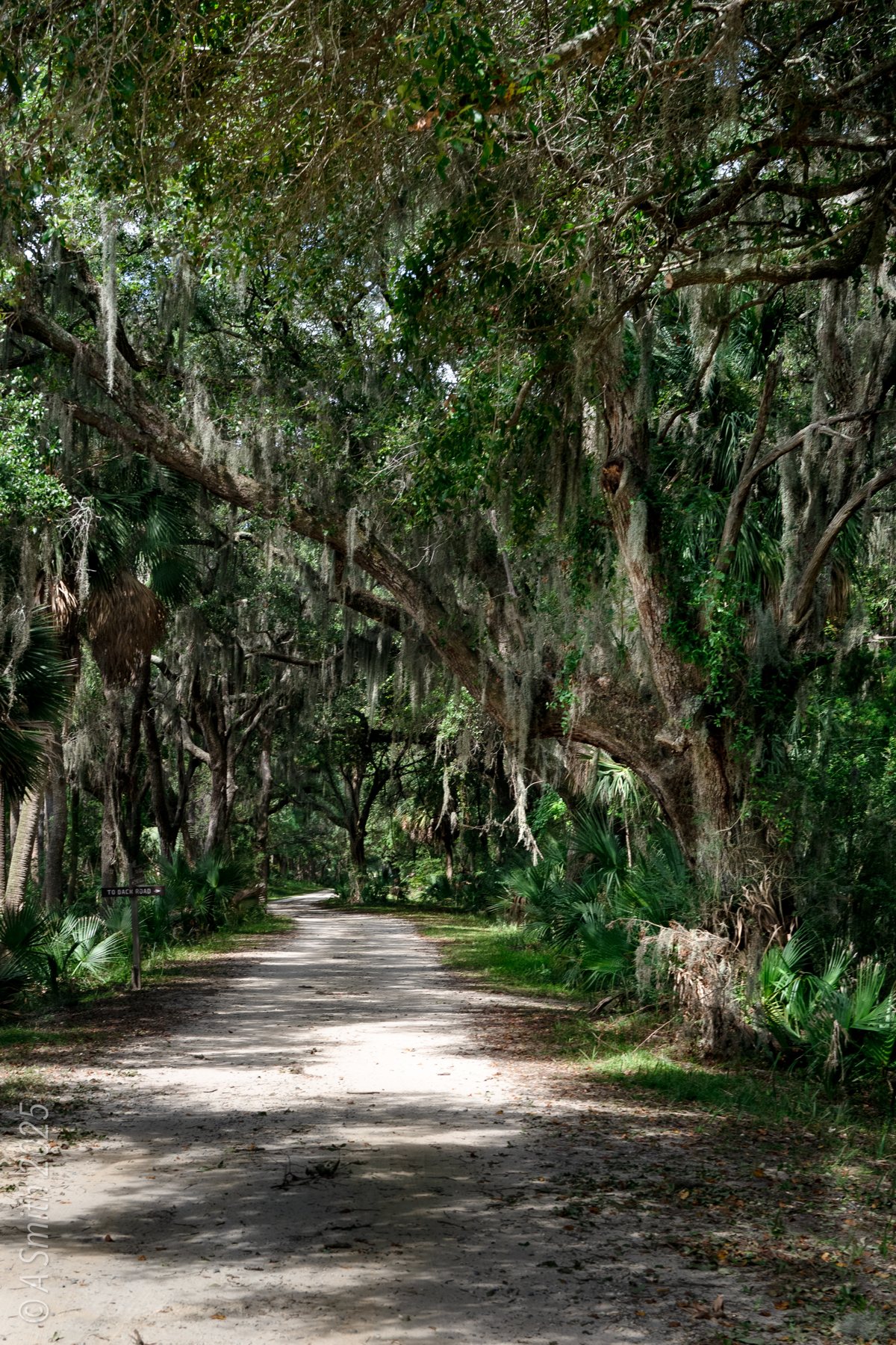
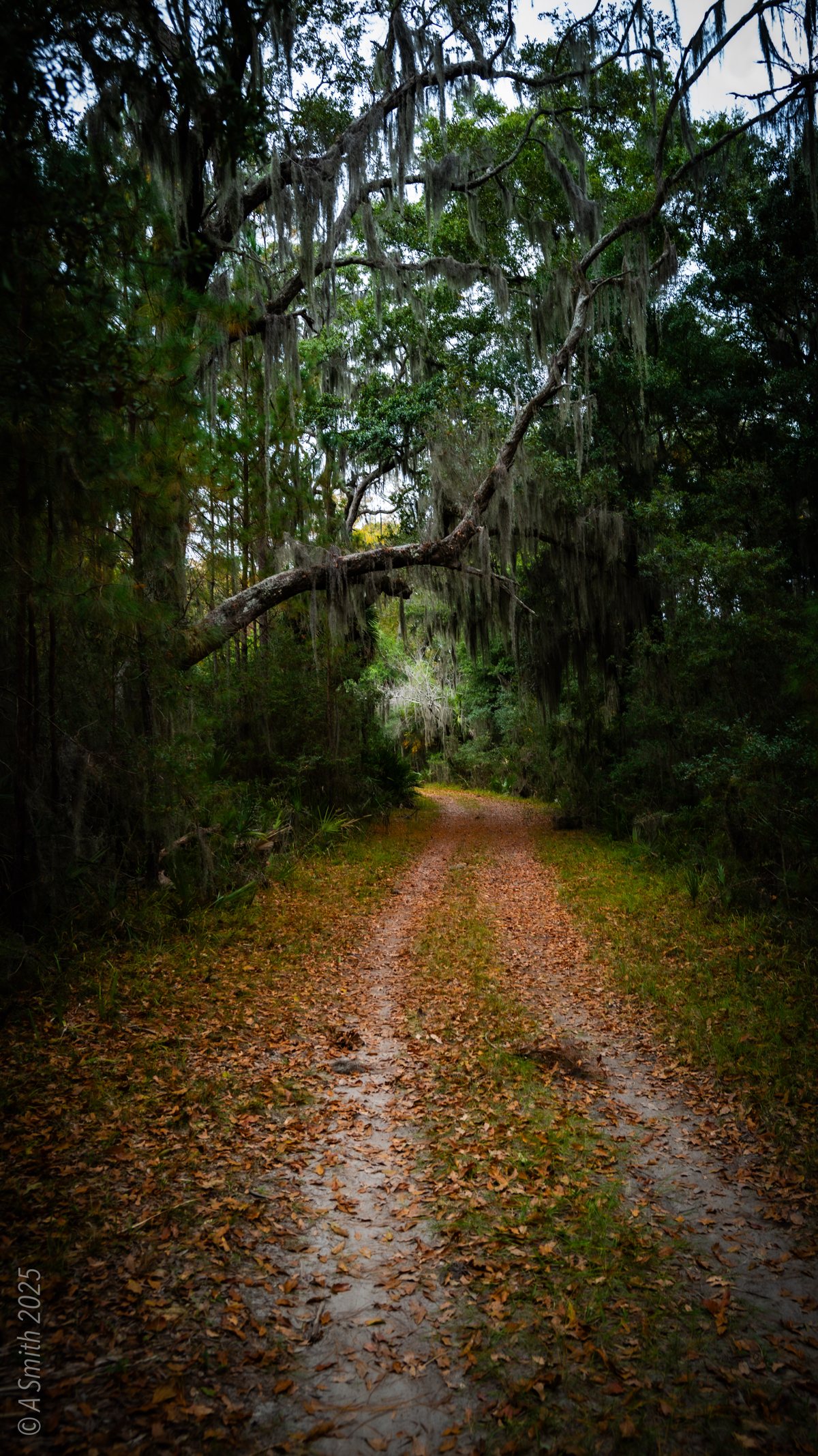
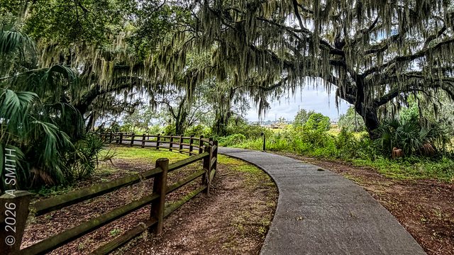
The oak tunnel. The refuge road passes under a canopy of moss-draped oaks.
The oak tunnel. The refuge road passes under a canopy of moss-draped oaks. 708 views on Google Maps · Photo taken Sep 2025
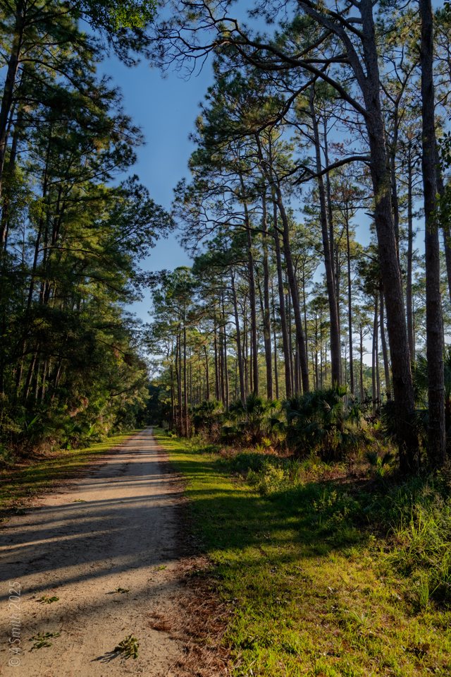
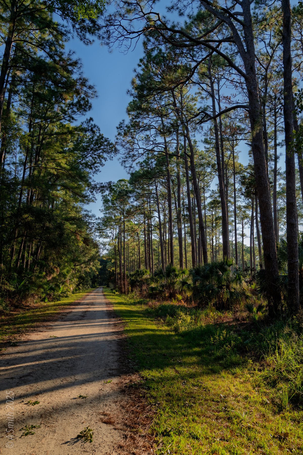
The pine road. Tall pines line the sandy road through this end of the refuge.
The pine road. Tall pines line the sandy road through this end of the refuge. 599 views on Google Maps · Photo taken Oct 2025
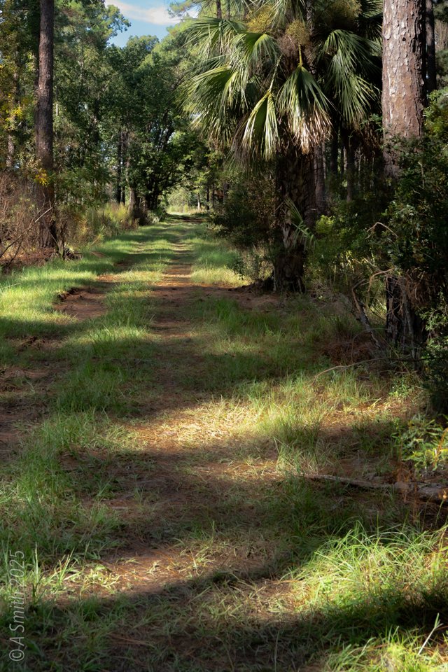
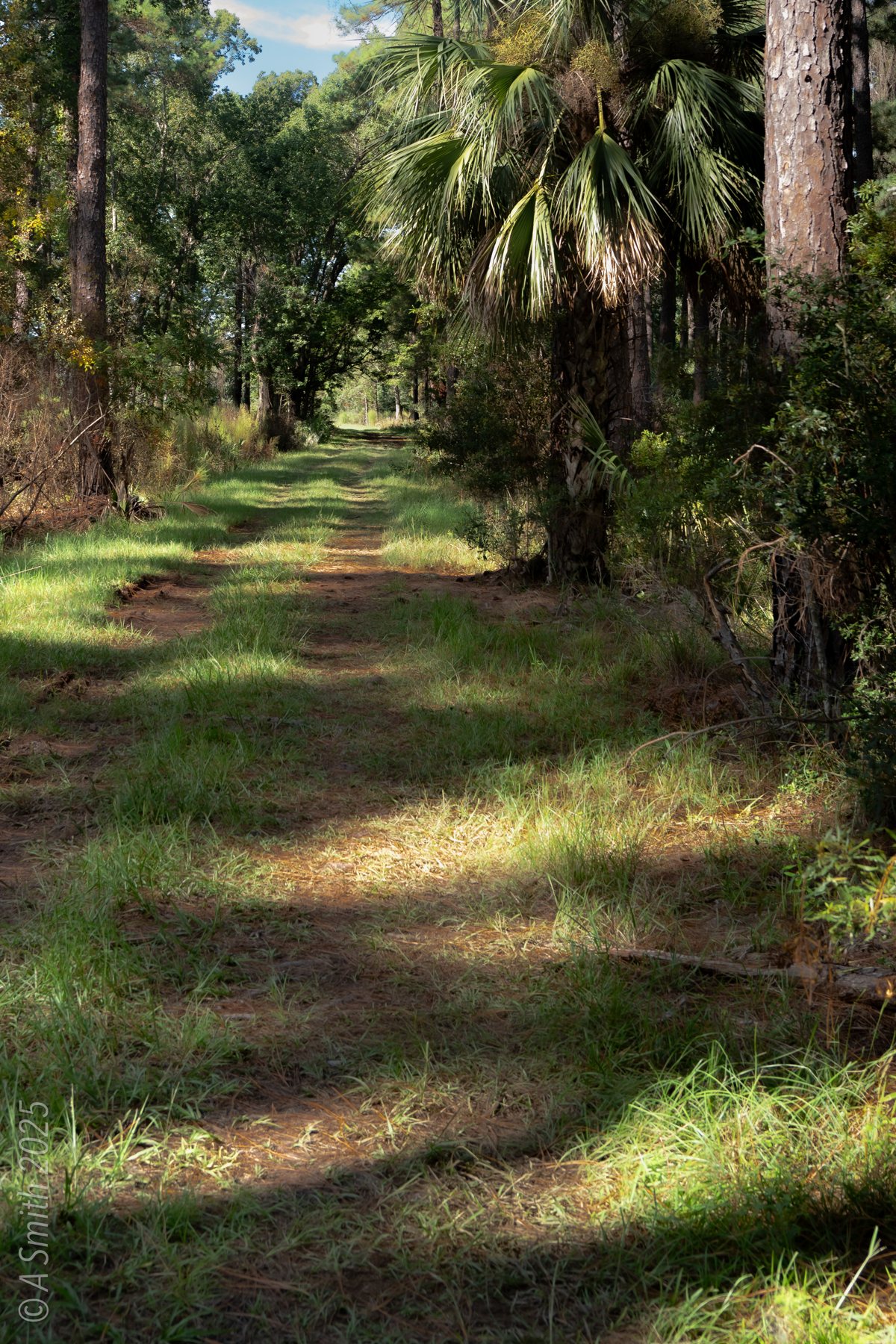
A grass track. A narrow track threads the palmettos and pines.
A grass track. A narrow track threads the palmettos and pines. 464 views on Google Maps · Photo taken Sep 2025
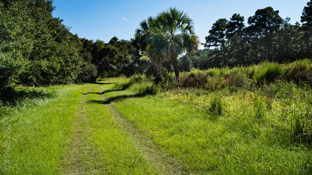
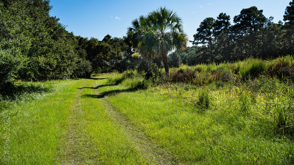
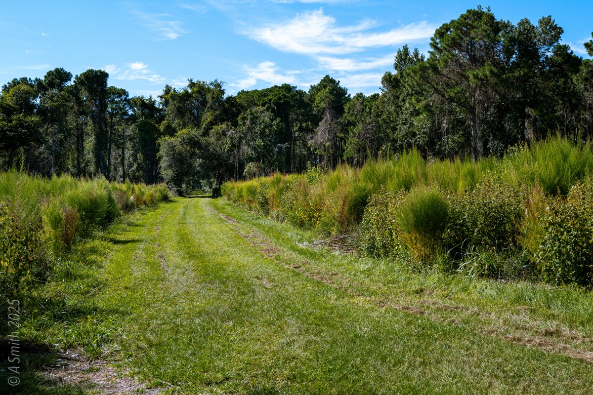
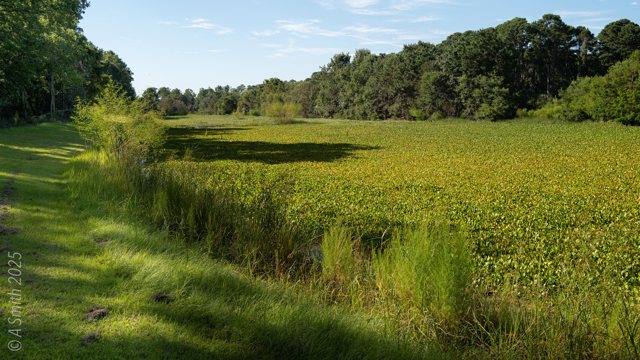
The meadow track. Twin tracks cross open grass near the pond.
The meadow track. Twin tracks cross open grass near the pond. 442 views on Google Maps · Photo taken Sep 2025
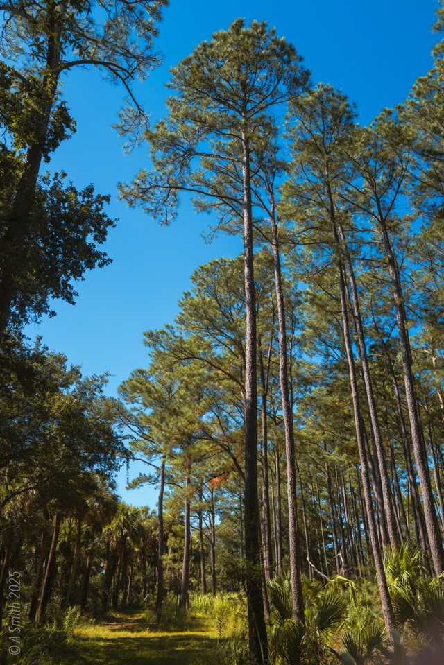
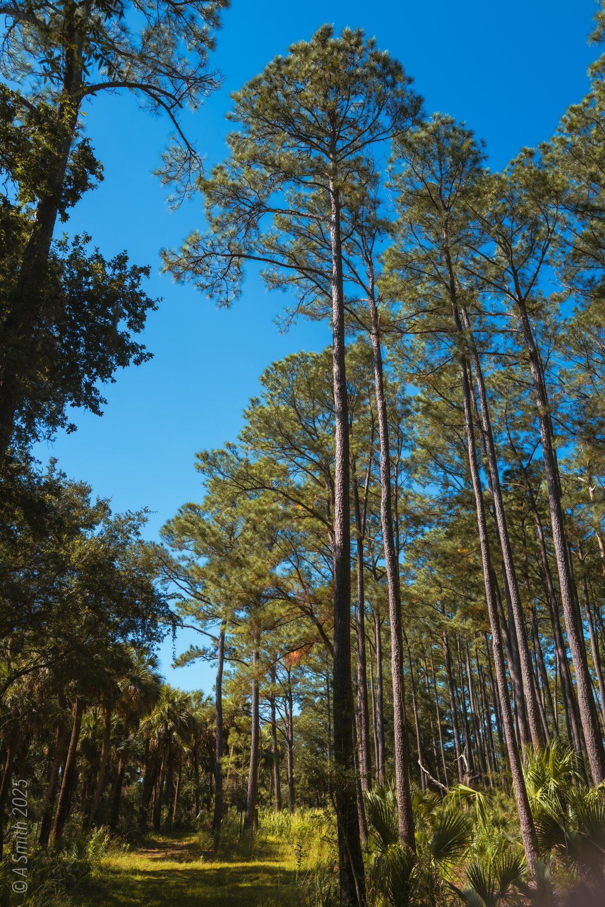
Tall pines. Straight trunks rise over the refuge road.
Tall pines. Straight trunks rise over the refuge road. 386 views on Google Maps · Photo taken Oct 2025
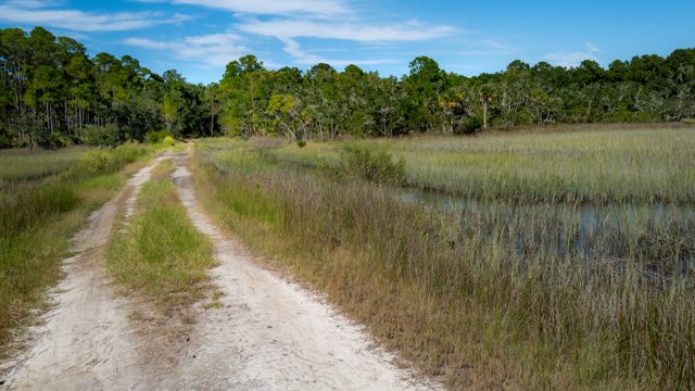
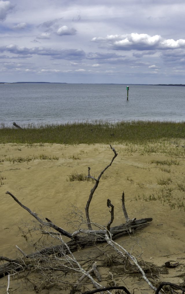
The sand track. A white-sand track skirts the marsh grass.
The sand track. A white-sand track skirts the marsh grass. 224 views on Google Maps · Photo taken Sep 2025
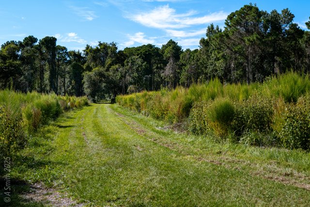
The mowed track. A kept grass lane runs toward the pinewoods.
The mowed track. A kept grass lane runs toward the pinewoods. 142 views on Google Maps · Photo taken Sep 2025
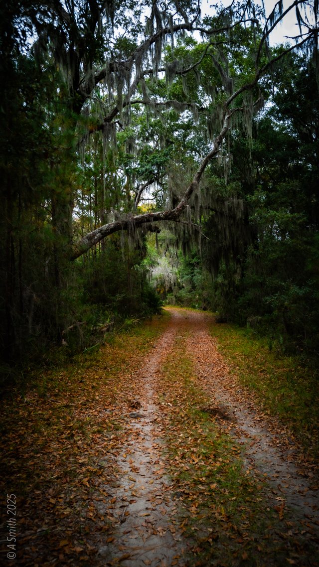
A winter trail. Leaves carpet the road under bare oaks in January.
A winter trail. Leaves carpet the road under bare oaks in January. 124 views on Google Maps · Photo taken Jan 2026
See Nini Chapin Pond on Google Maps

11 photos: 7,504 views on Google Maps — and counting.

Home › Parks › Pinckney Island › Nini Chapin Pond

Browse by subject

Marsh & Water (20) Beaches (10) Gardens & Flowers (8) Historic (5) Golf (5) Sunrises (4) Birds & Wildlife (4)