 Hilton Head
White Point Photos
Pinckney Island National Wildlife Refuge · the island’s north end
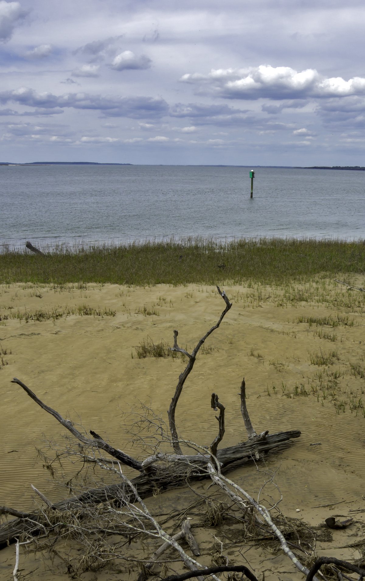
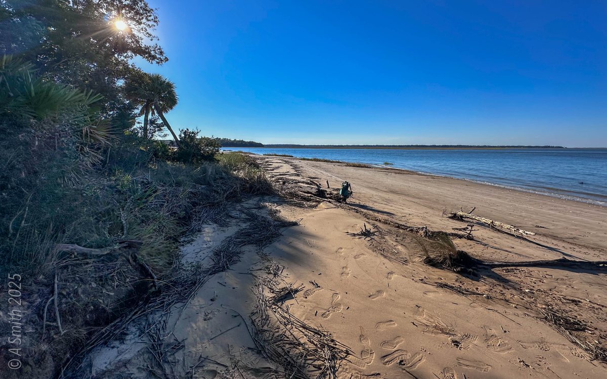
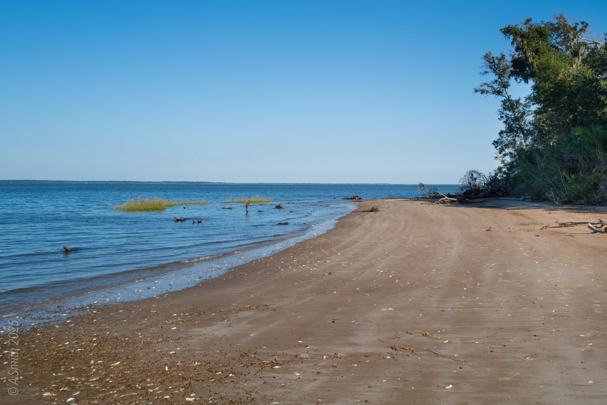
Skull Creek from White Point. Sand, driftwood and marsh grass where the island’s north end meets the creek. 14,316 views on Google Maps · Photo taken Nov 2018
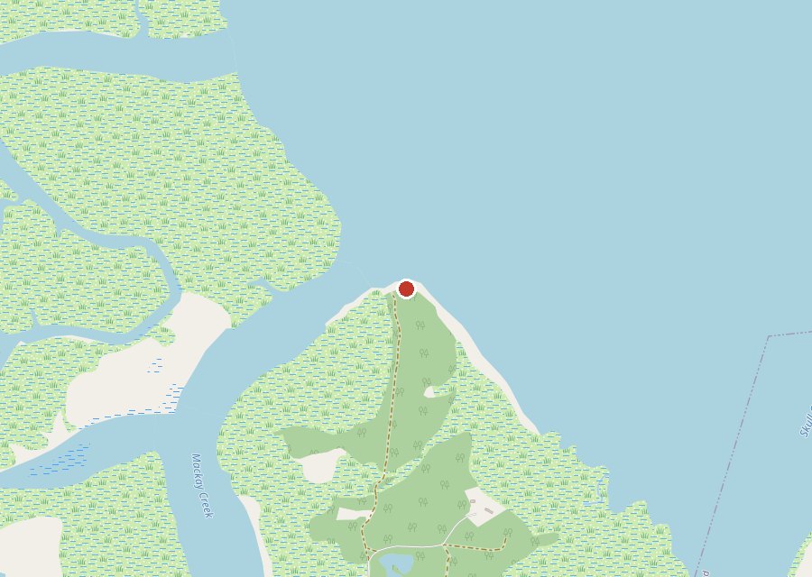
Location: North end of Pinckney Island, Pinckney Island National Wildlife Refuge
Category: Shore
Best For: Shore walks, creek views, a quiet sand beach
The Archive: 12 photos · 24,911 views on Google Maps
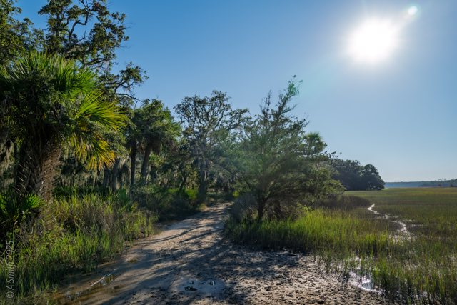
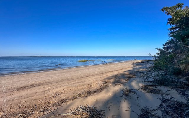
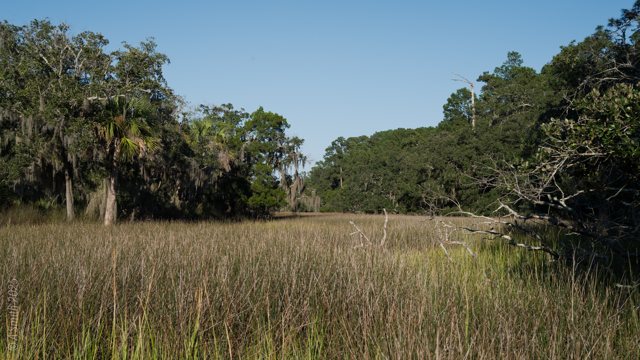
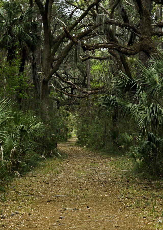
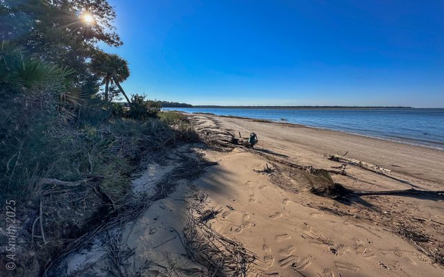
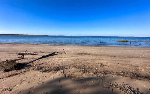
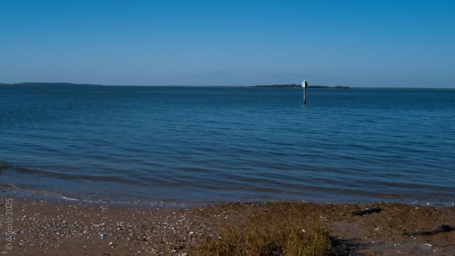
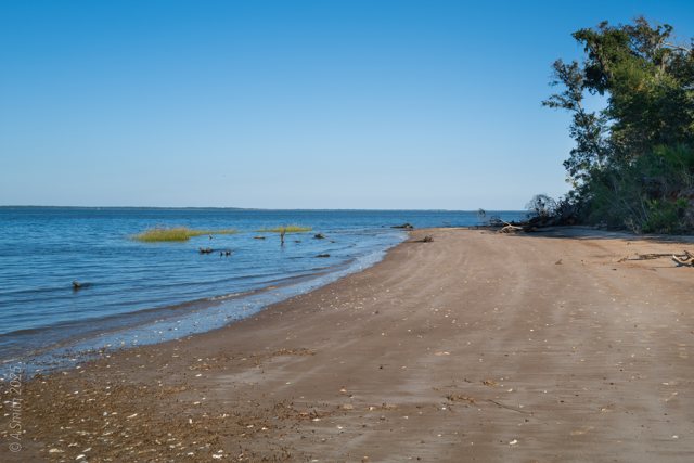
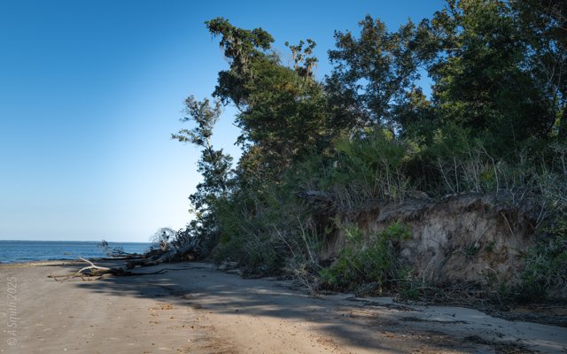
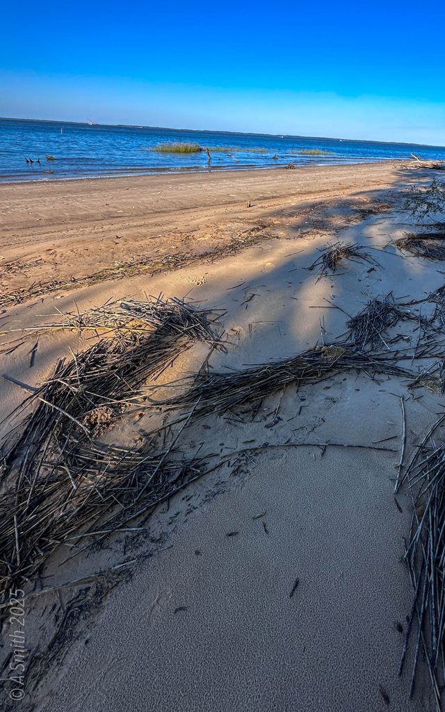
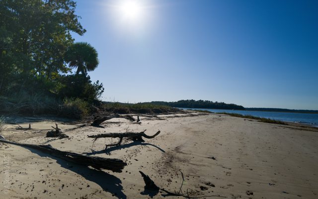
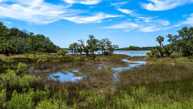
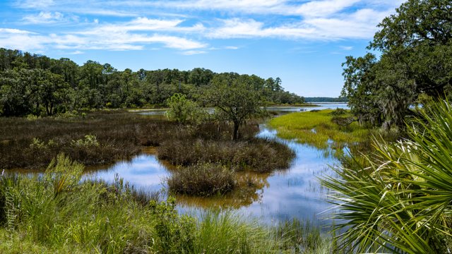
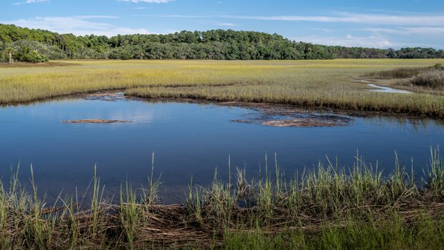
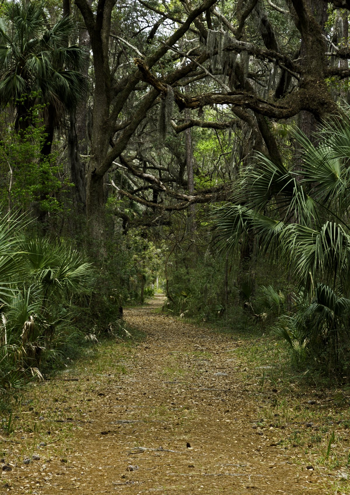
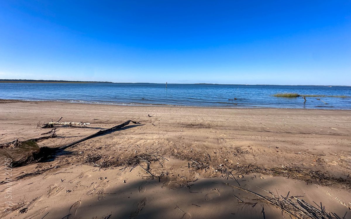
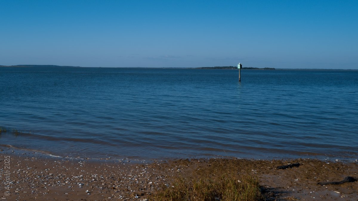
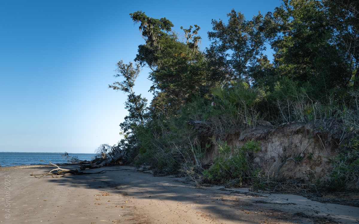
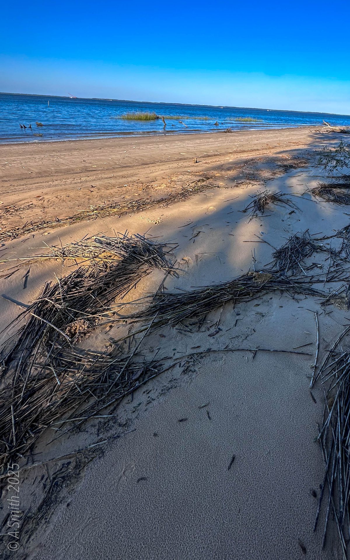
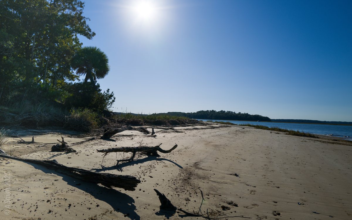
White Point is the shore at the far north end of Pinckney Island, where the refuge road ends and the island meets open water. It is the longest walk or ride on the island — and the quietest. The shore here is a working edge: sand beach, driftwood, an eroded bluff wearing back into the pines, and marsh grass along the creek. The photos follow the whole curve of it. This photo has been viewed 14,316 times on Google Maps.
Key Takeaways
- White Point is the north-end shore of Pinckney Island, at the end of the refuge road.
- A sand beach curves around the point, scattered with driftwood and fallen trees.
- The bank is eroding into the maritime forest — the shore changes a little every year.
- The hero photo alone has 14,316 views on Google Maps.
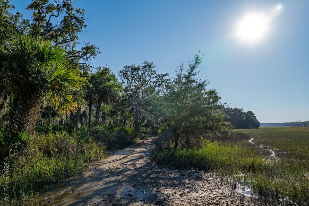
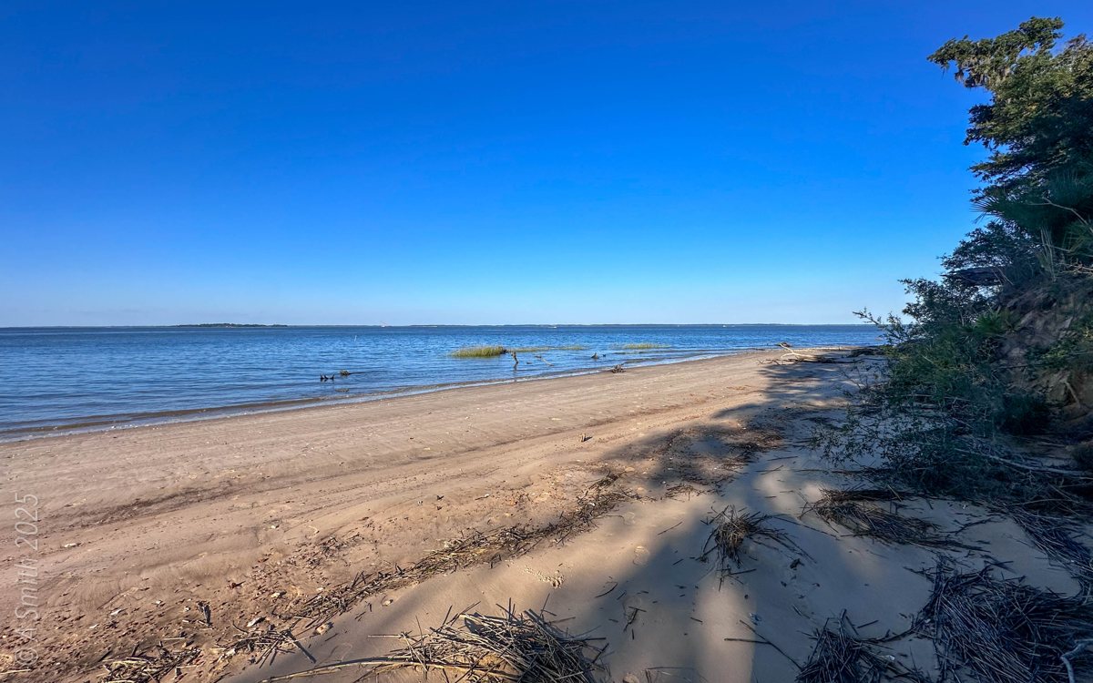
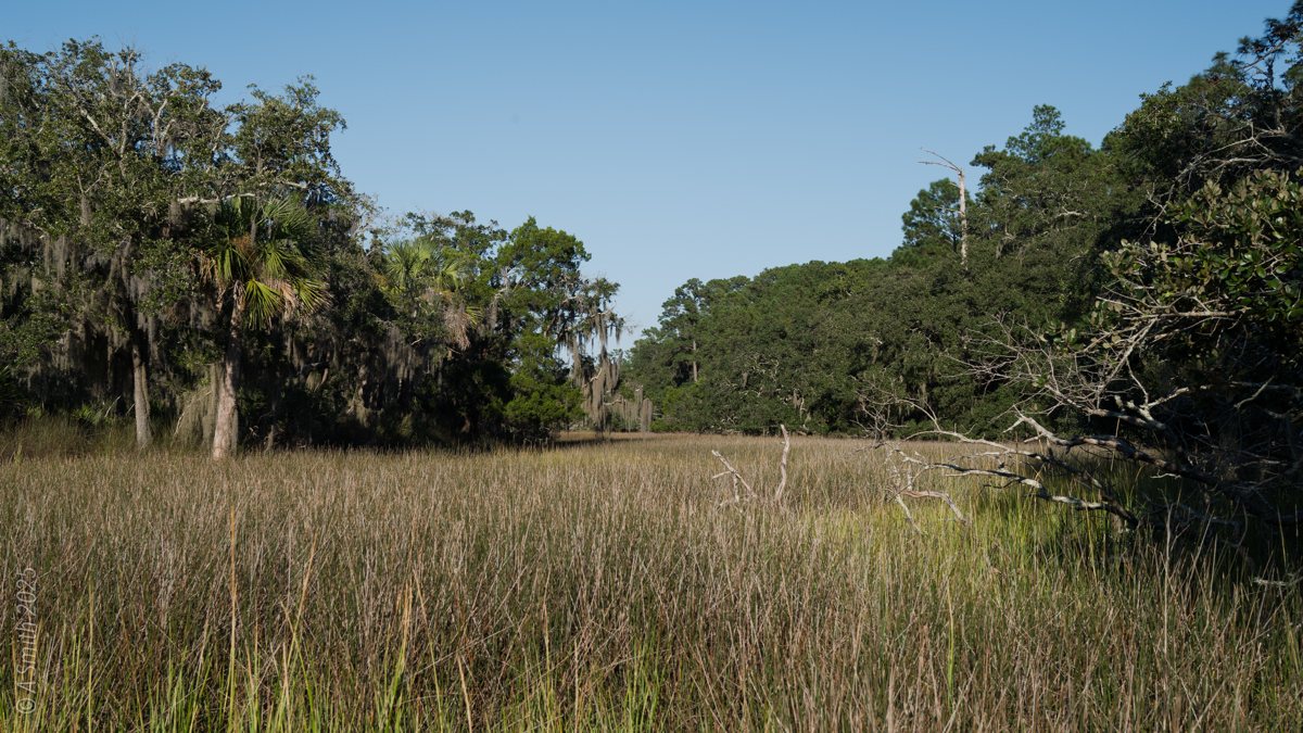
12 photos: 24,911 views on Google Maps — and counting.
Nearby Spots