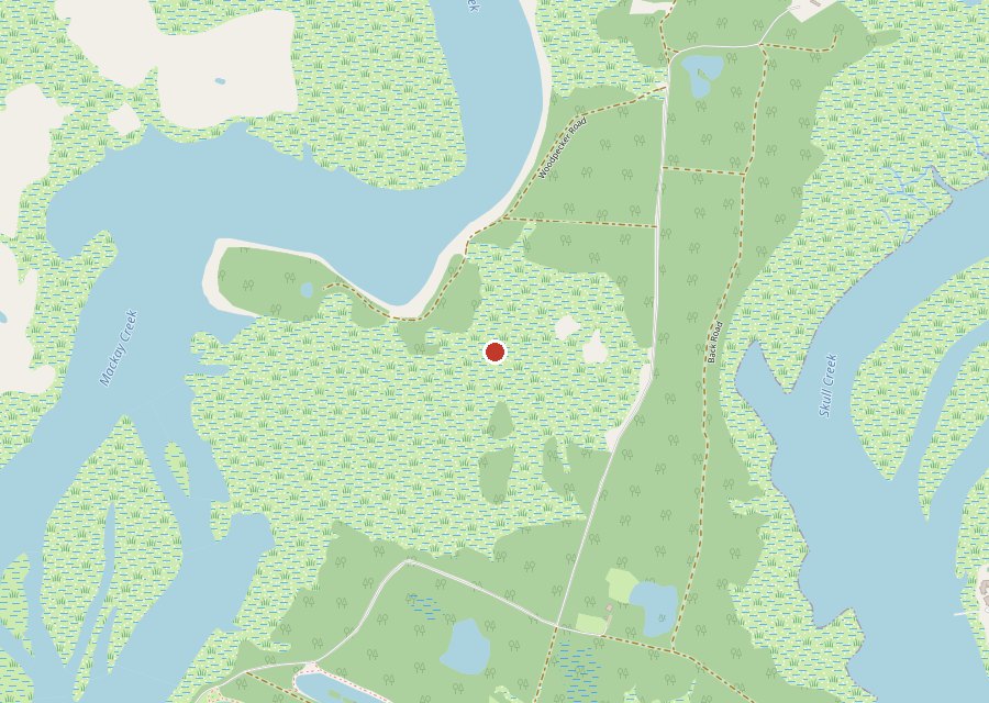
Location: Interior of Pinckney Island, Pinckney Island National Wildlife Refuge
Category: Marsh
Best For: Back-road exploring, marsh views, refuge wildlife
The Archive: 31 photos · 50,945 views on Google Maps
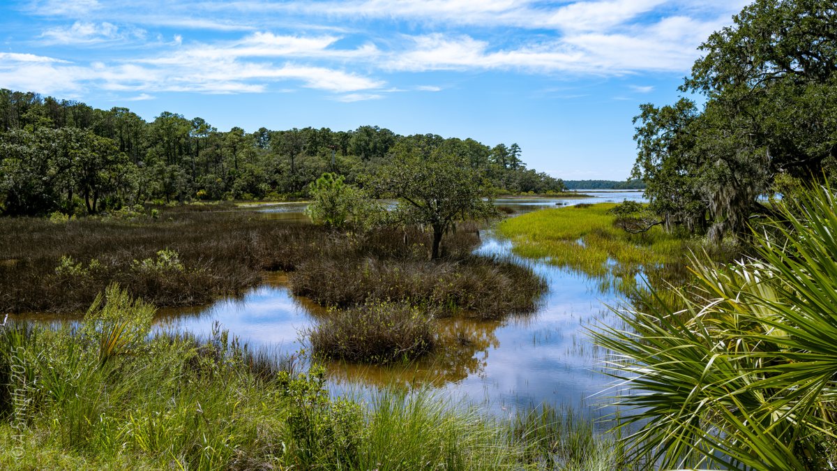
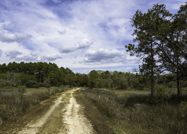
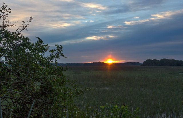
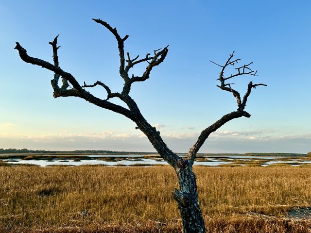
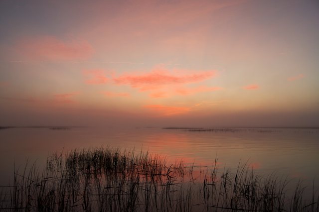
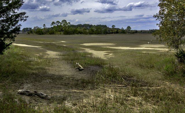
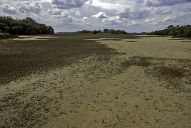
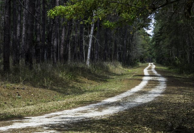
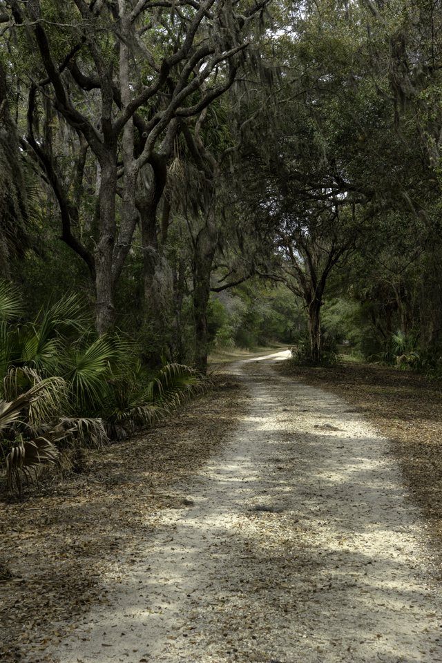
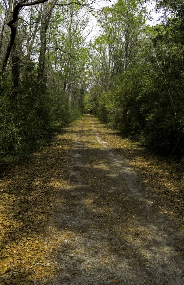
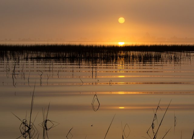
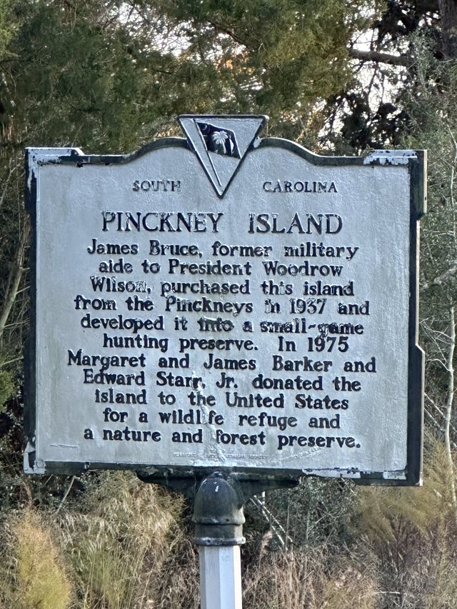
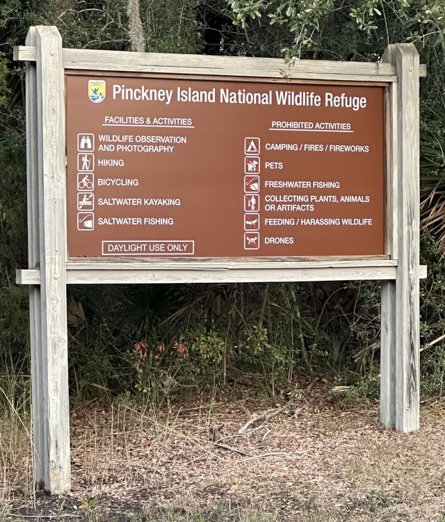
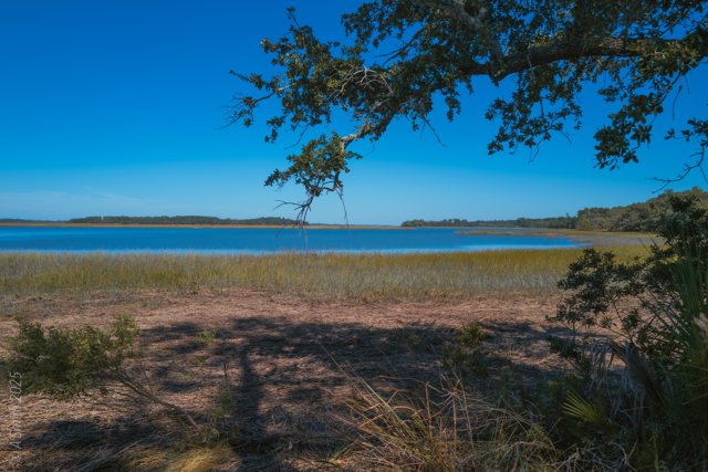
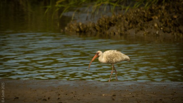
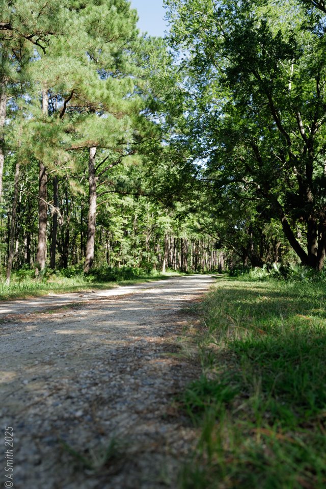
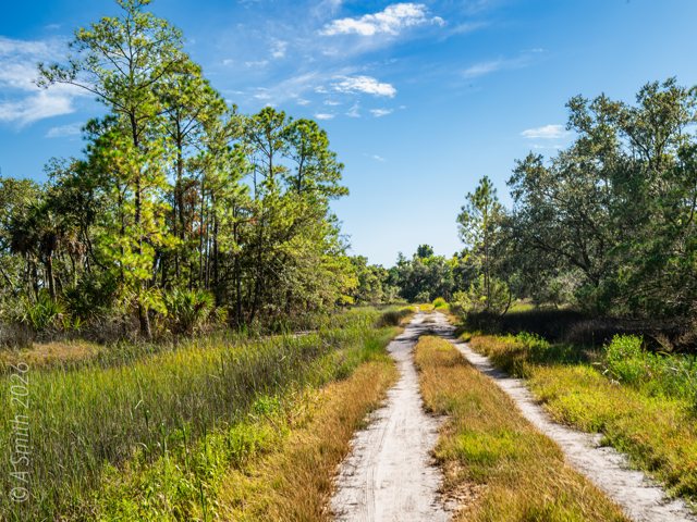
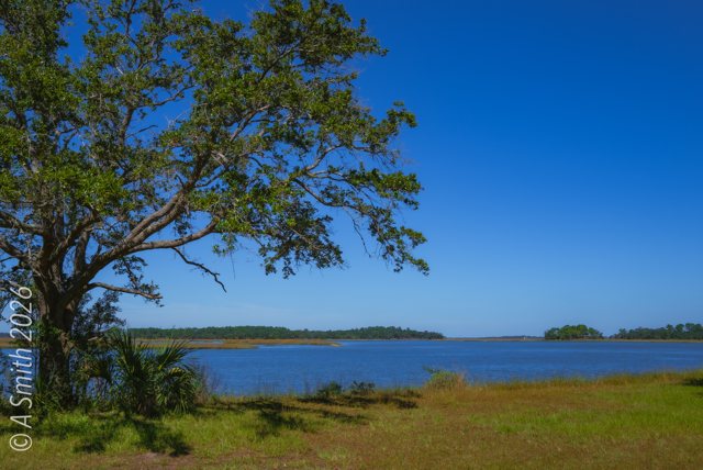
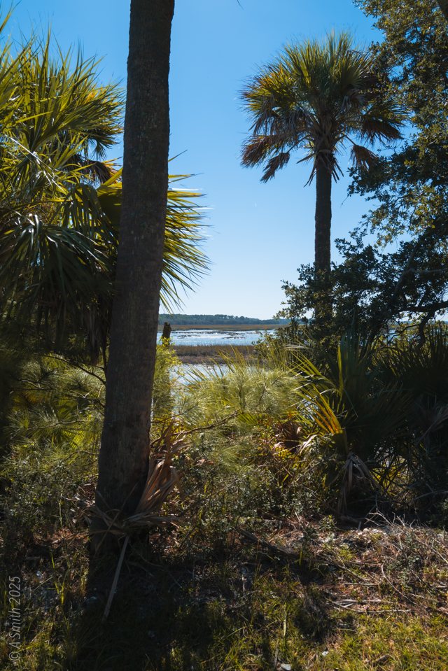
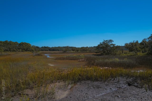
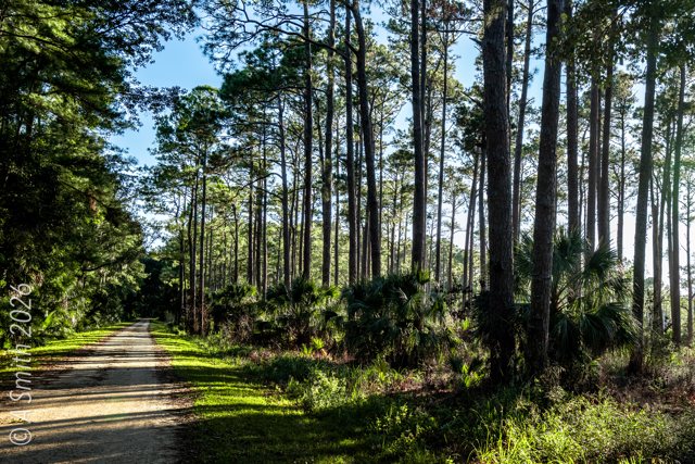
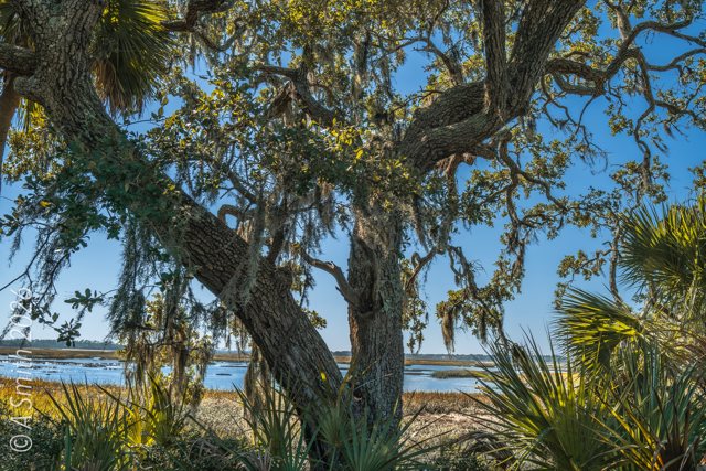
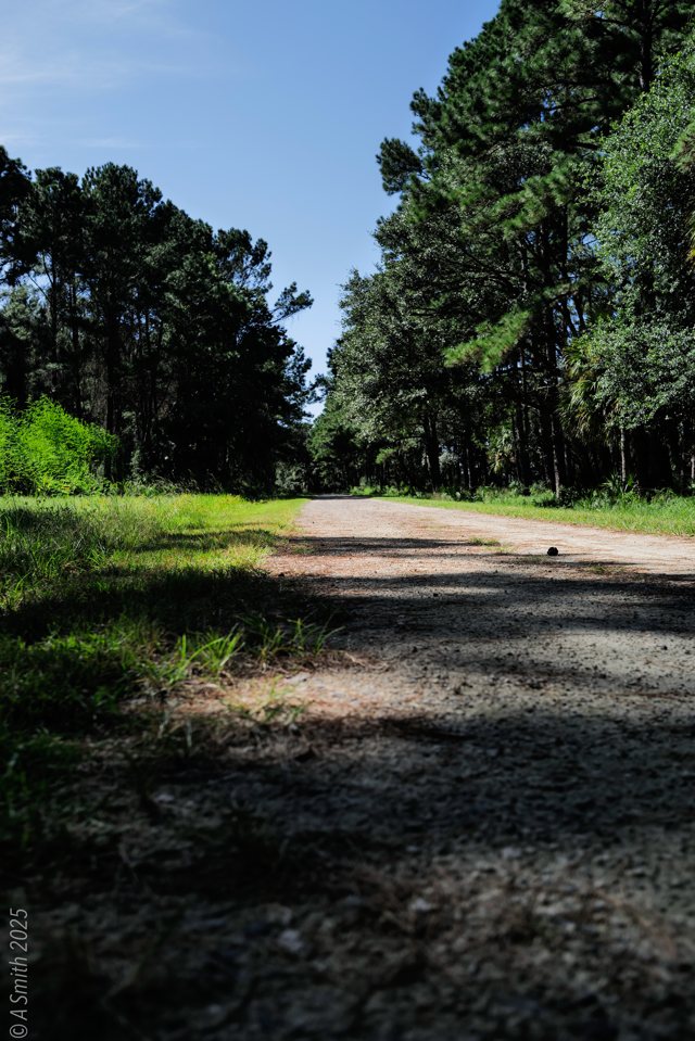
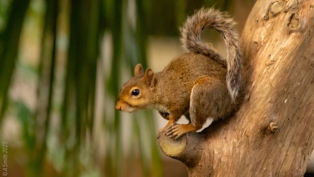
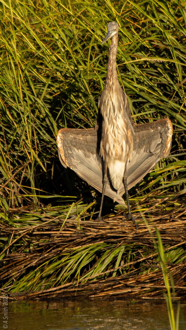
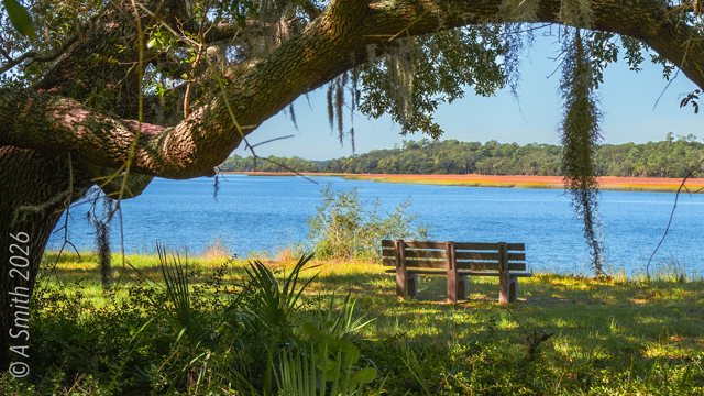
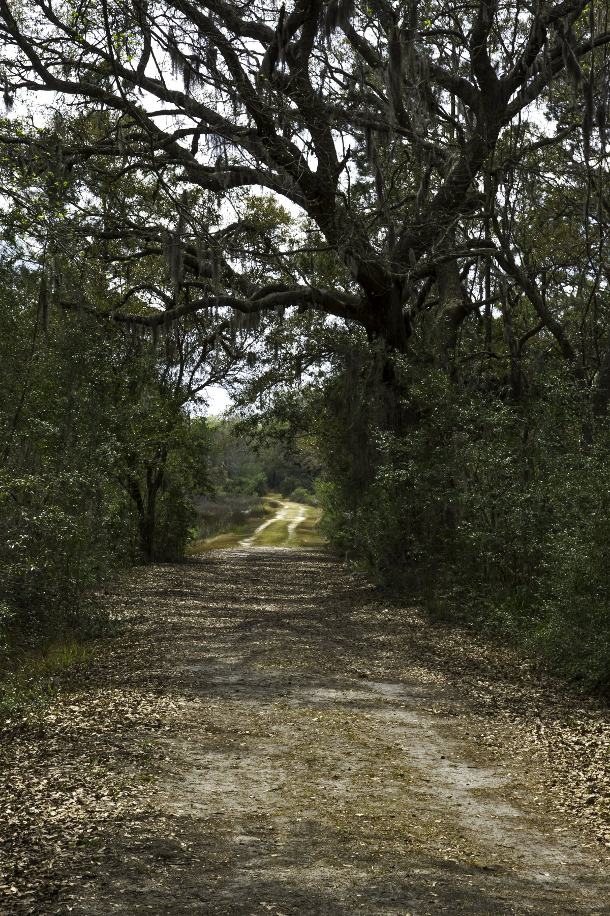
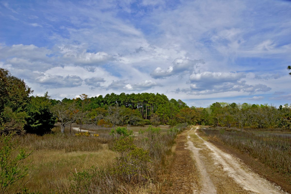
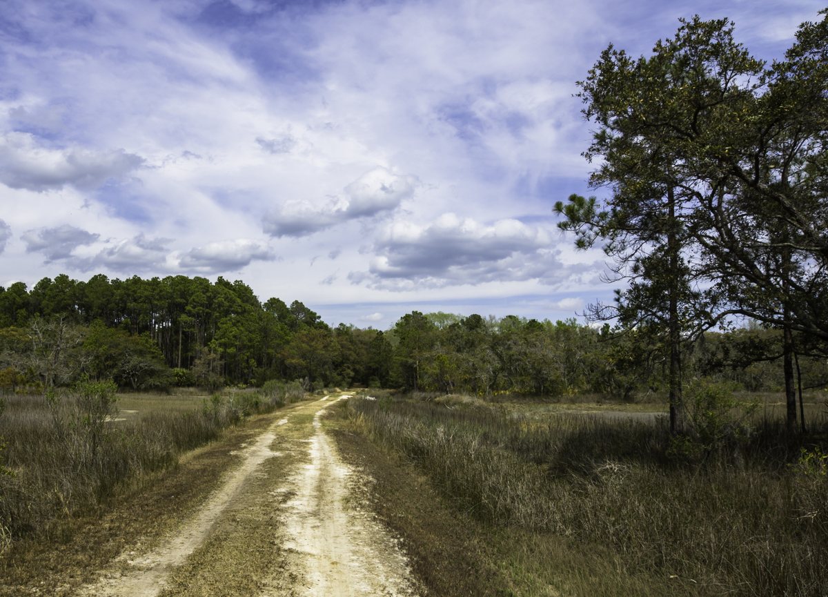
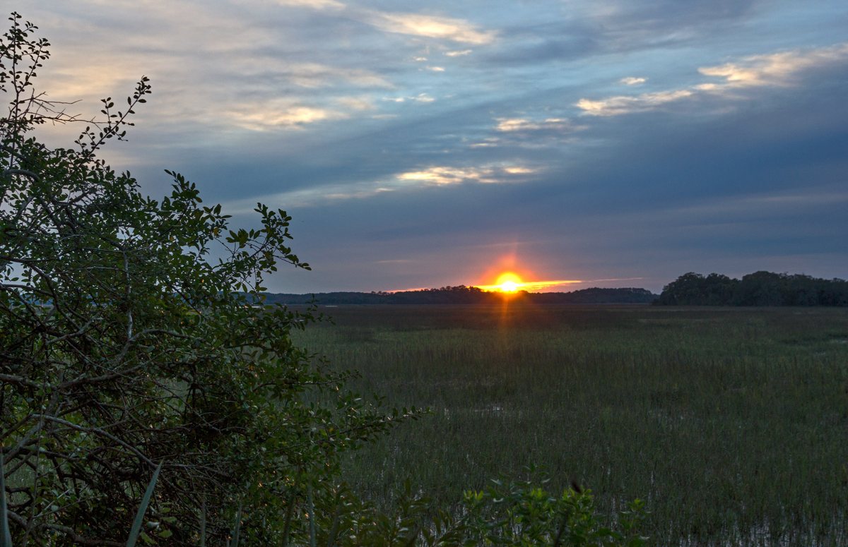
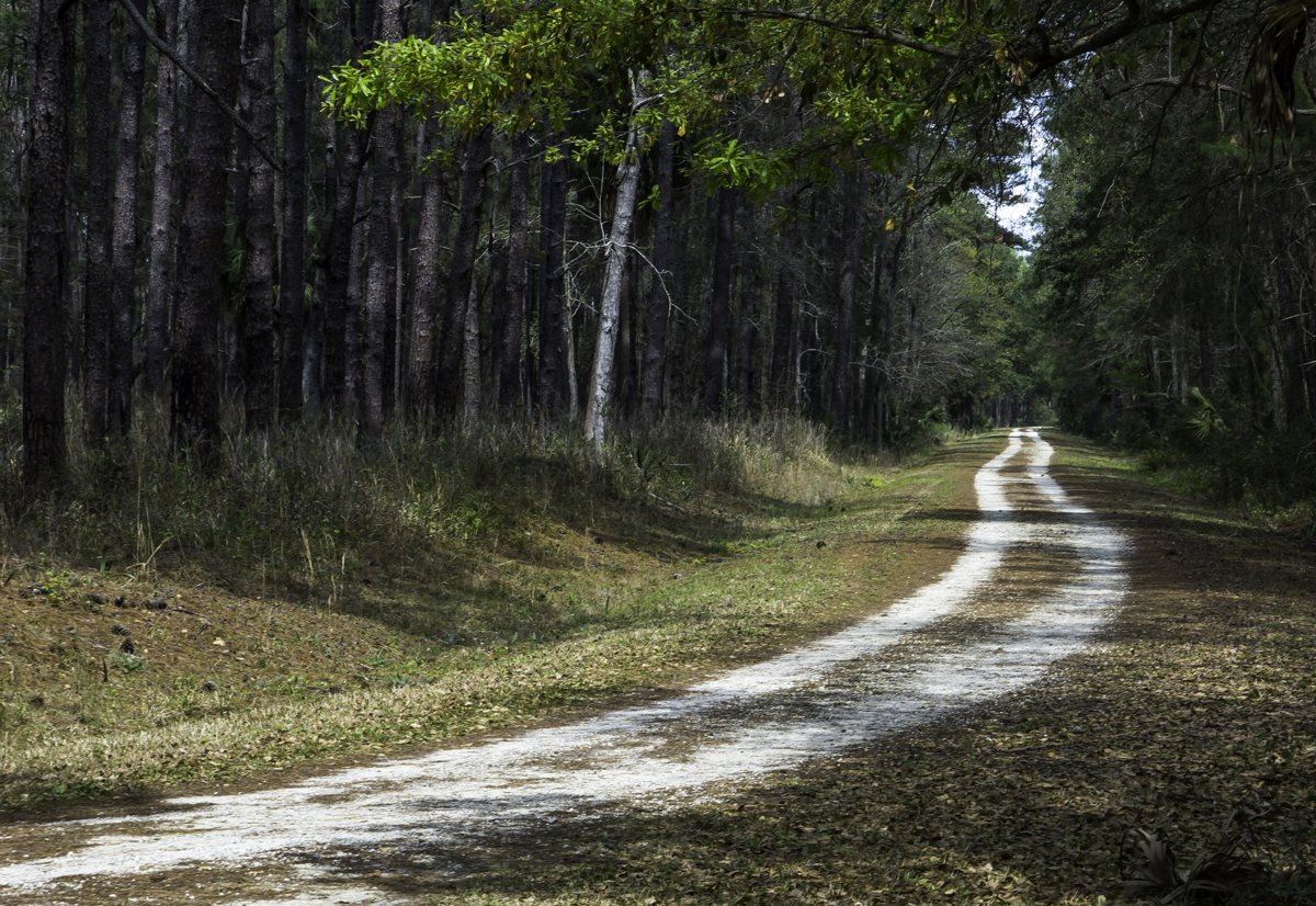
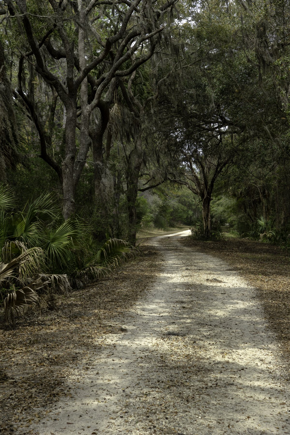
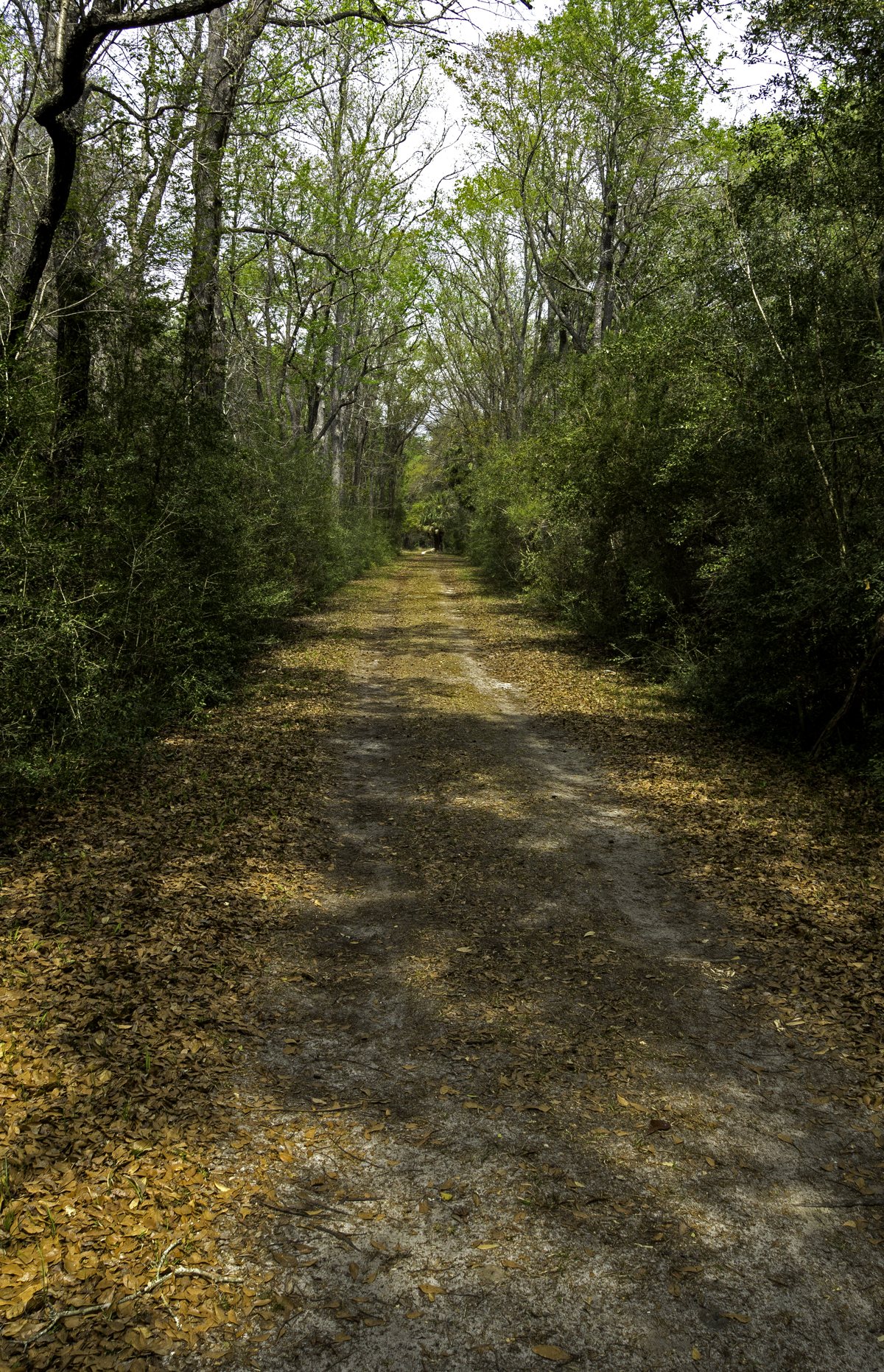
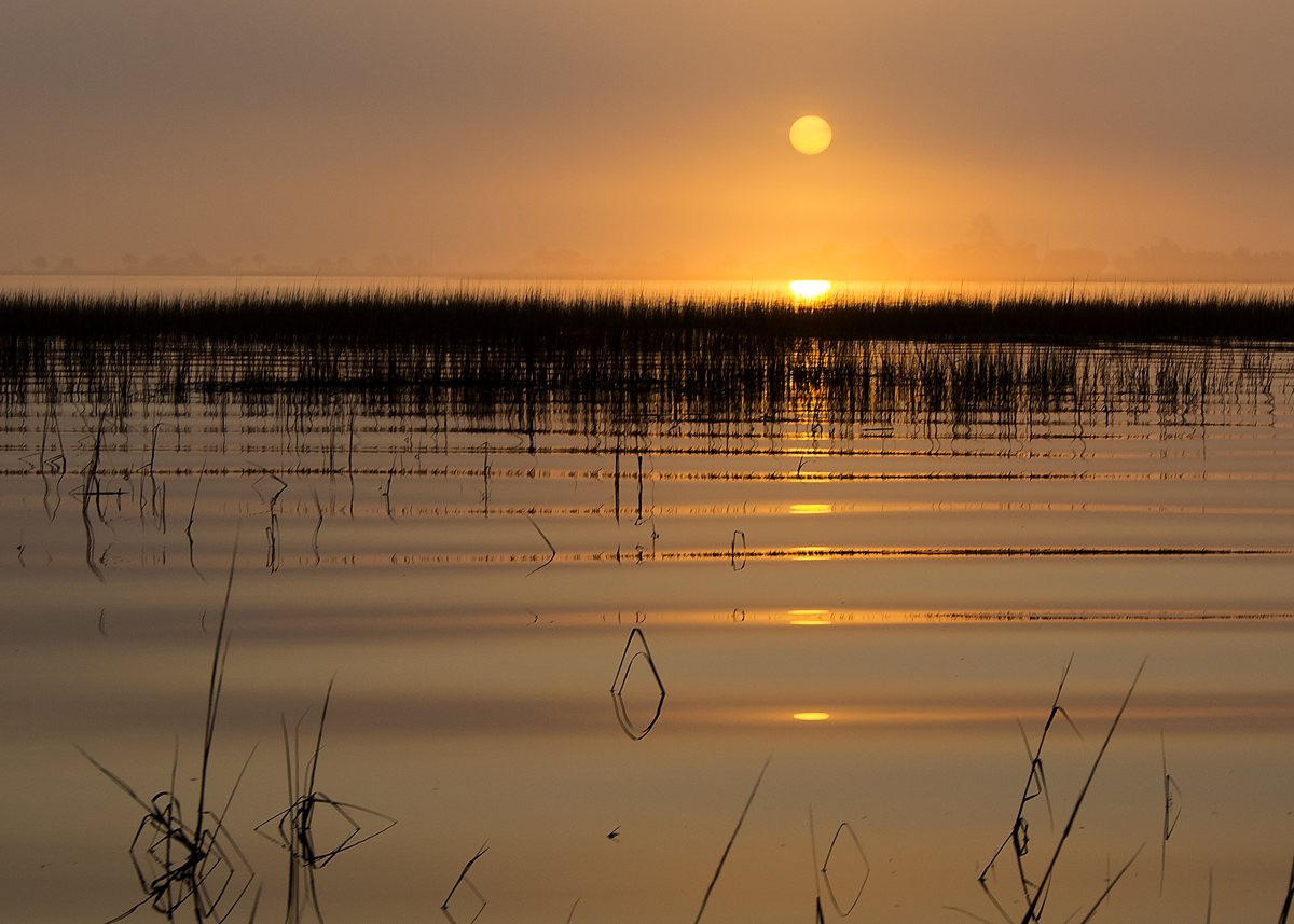
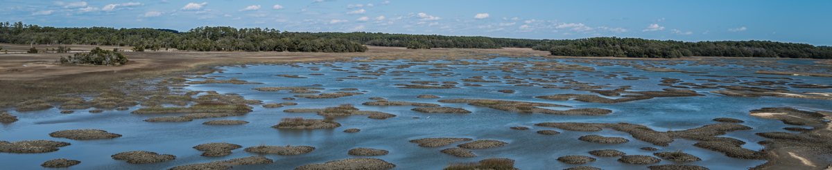
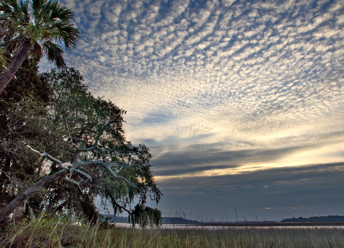
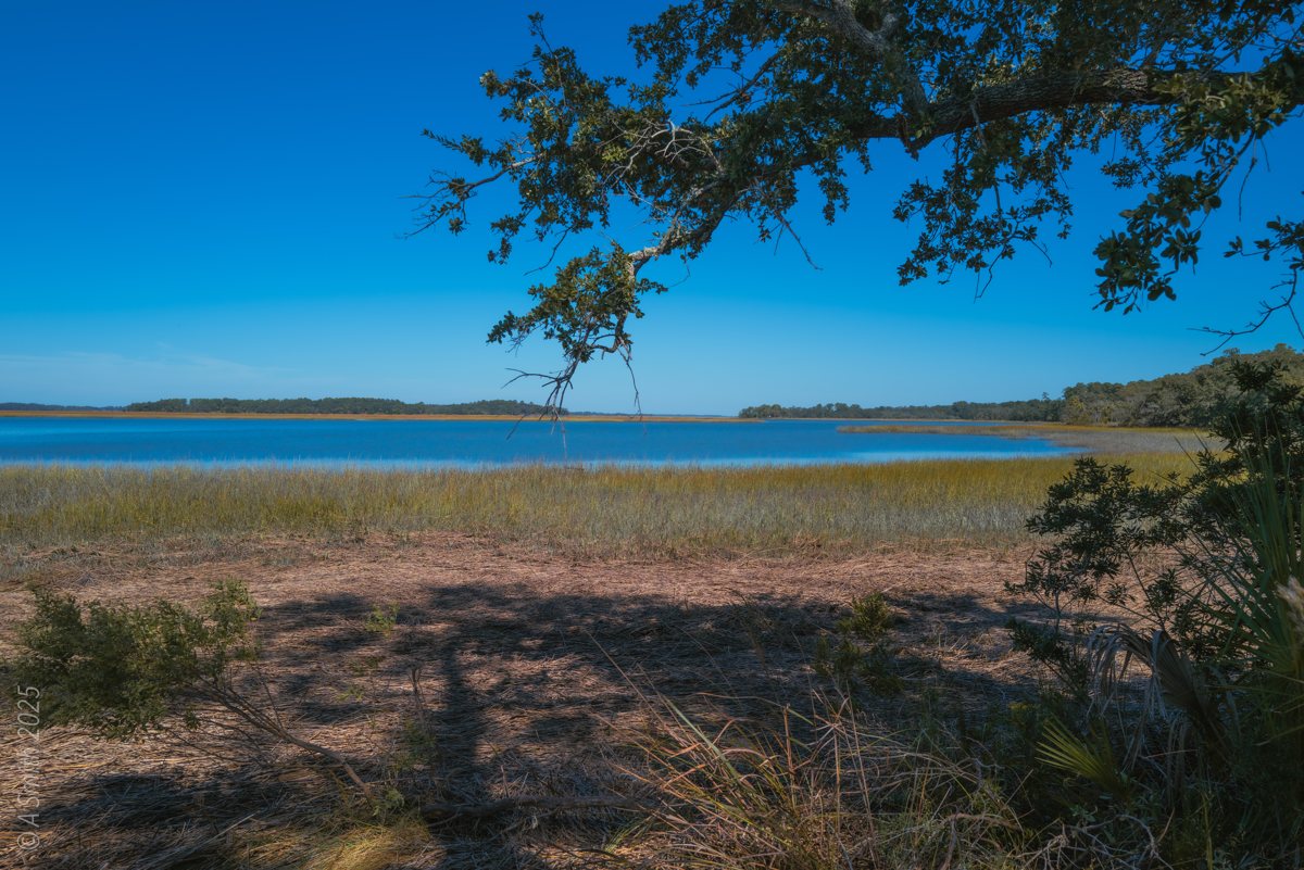
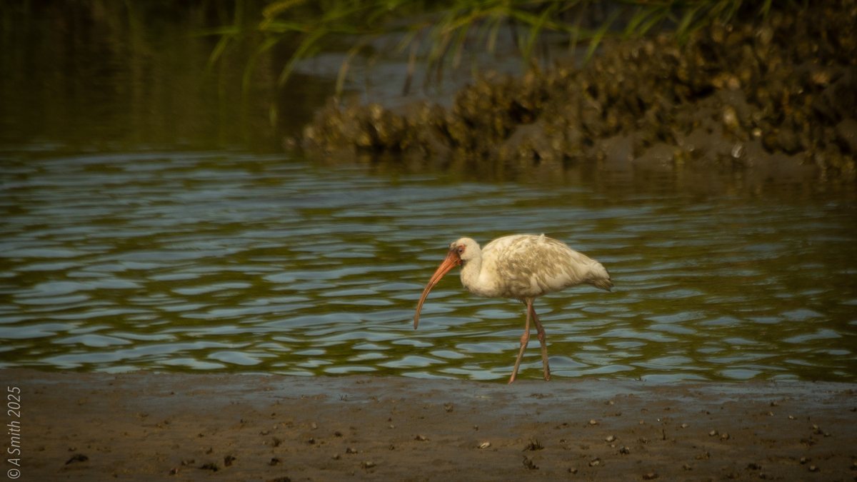
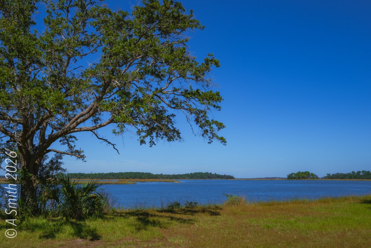
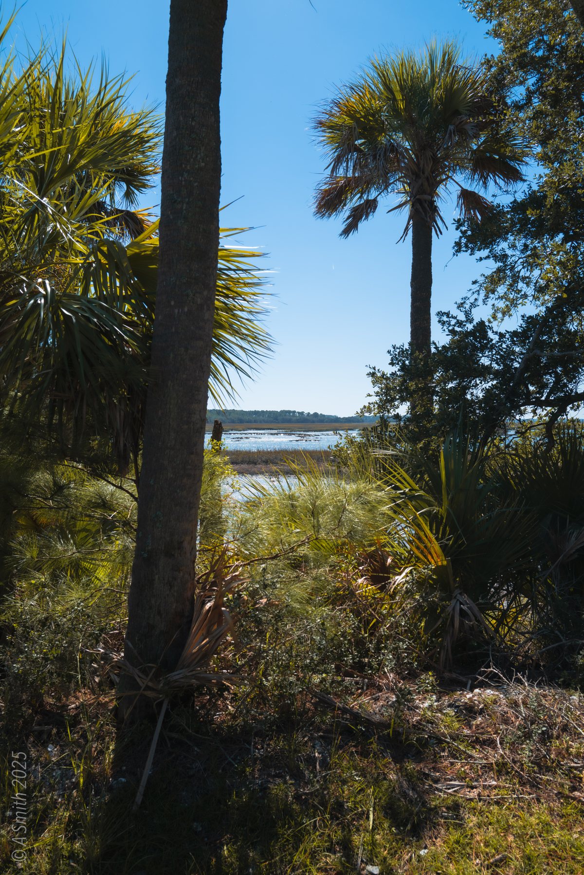
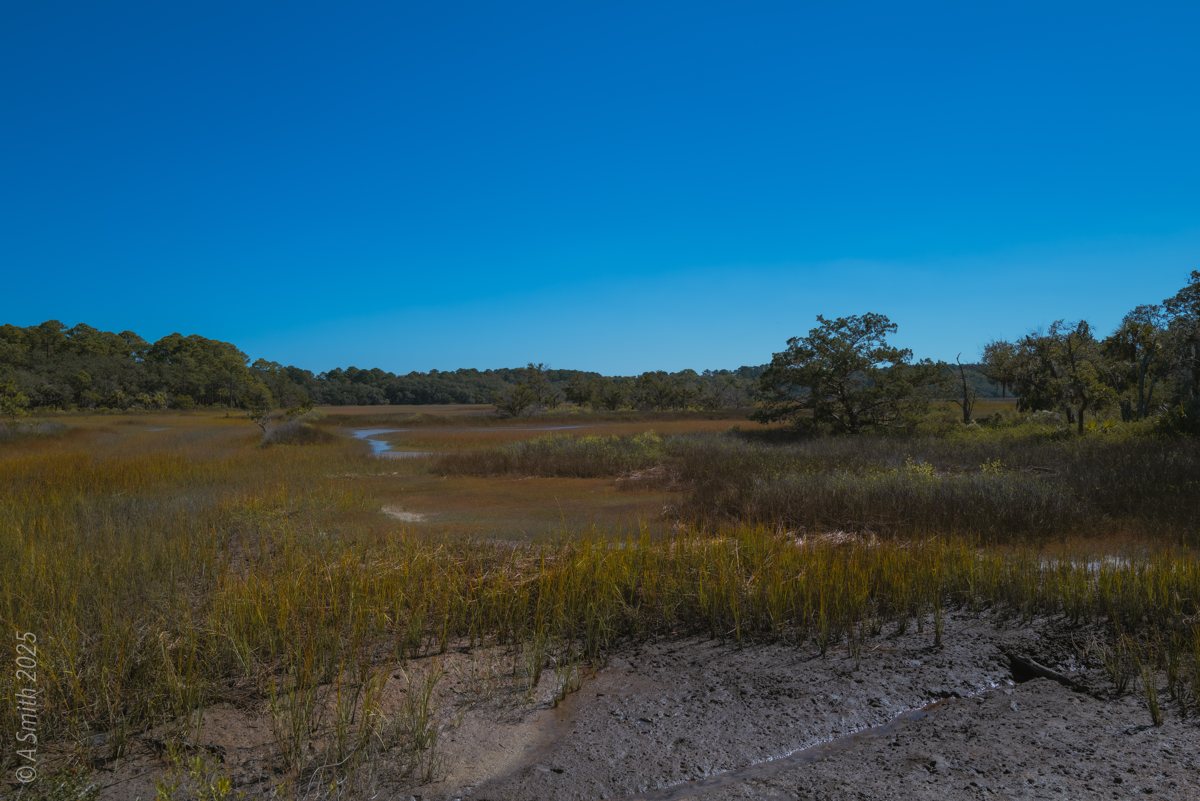
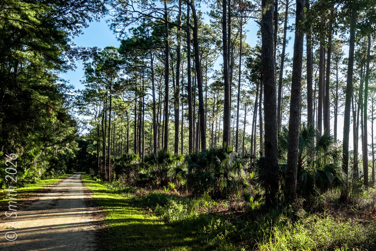
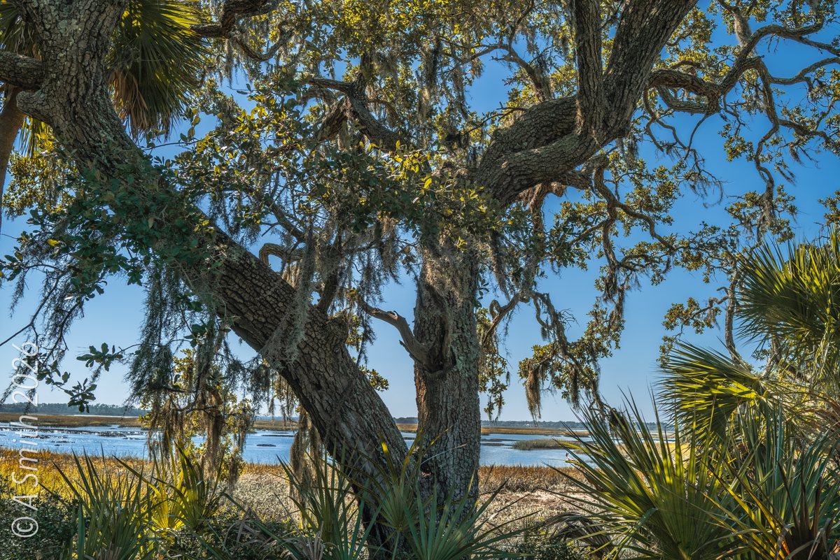
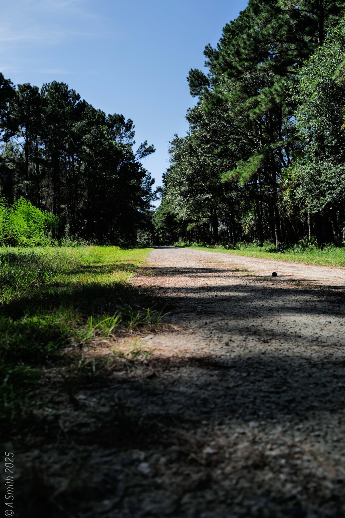
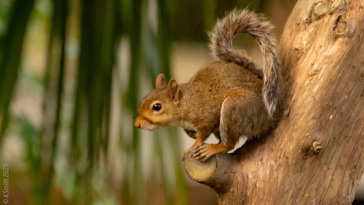
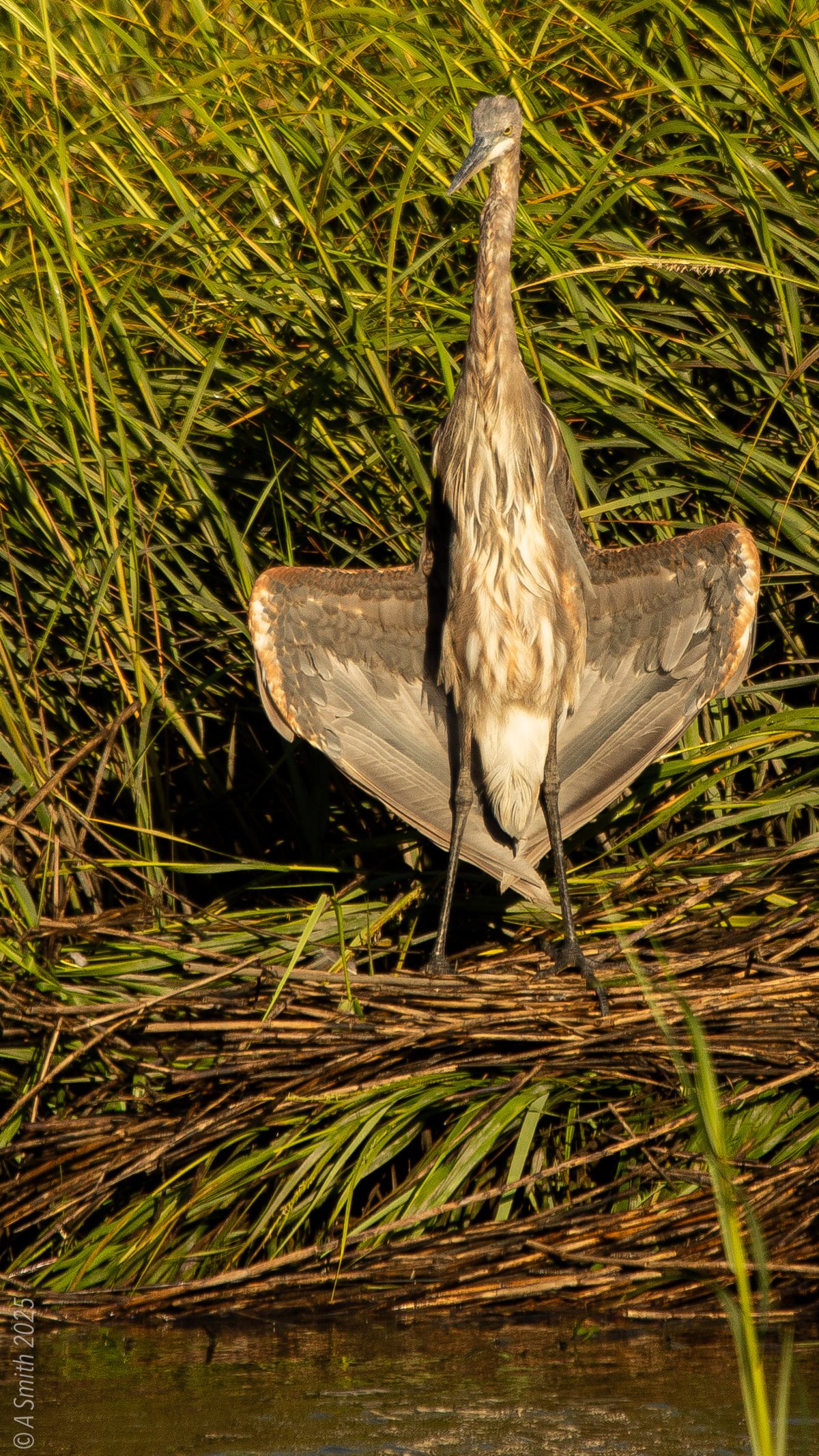
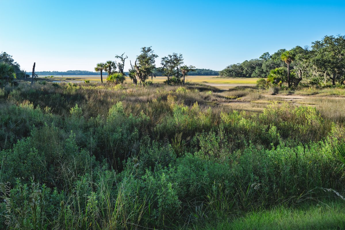
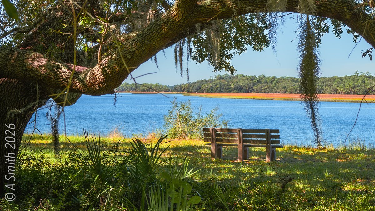
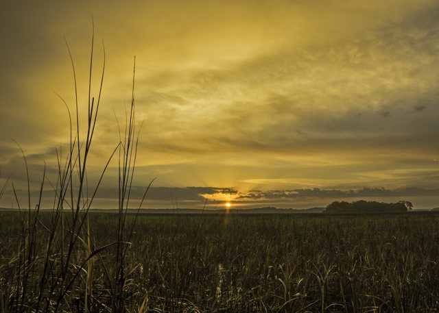
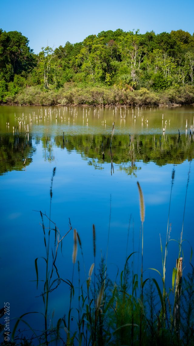
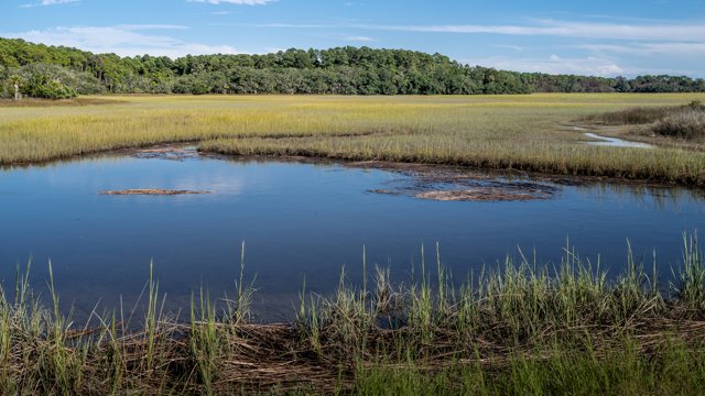
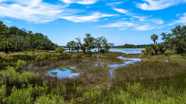
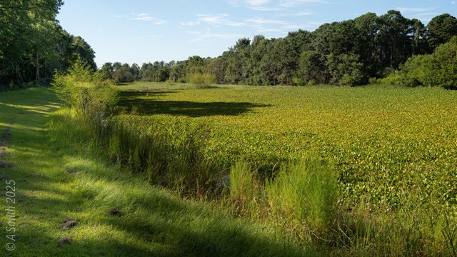
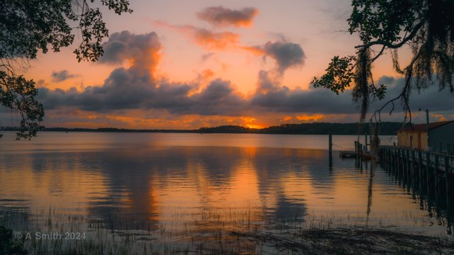
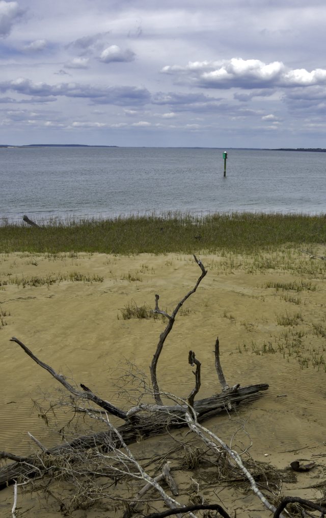
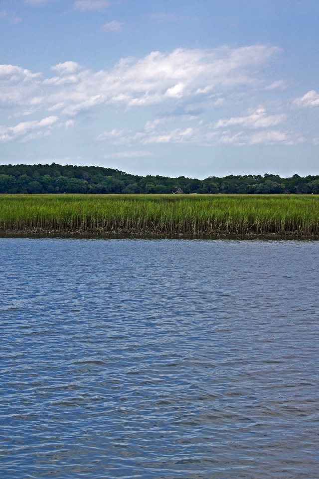
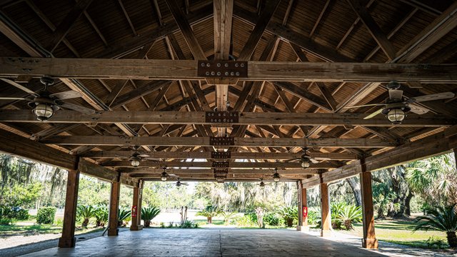
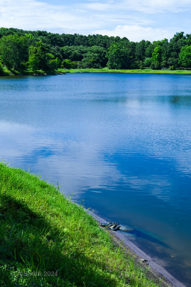
Between Pinckney Island’s named ponds and points lies the rest of the refuge: miles of sand roads, tidal creeks, salt pans and marsh that most visitors cross on the way somewhere else. This page is for that in-between country. The photos roam the whole interior — a tidal creek at midday, sunrises and sunsets over the marsh, the refuge’s signs and its historical marker, an ibis feeding, a heron drying its wings, and a bench under an oak above the water. This photo has been viewed 13,964 times on Google Maps.
Key Takeaways
The refuge interior is a network of sand roads, tidal creeks and salt marsh.
Sunrise and sunset light up the marsh on both sides of the island.
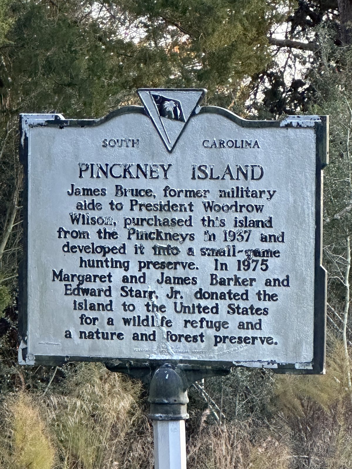
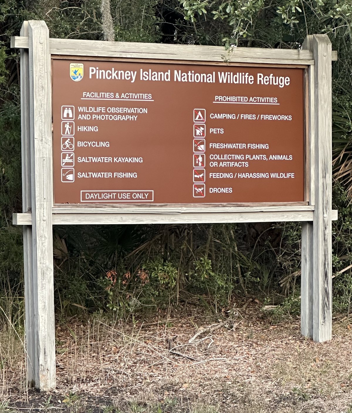
The state historical marker and the refuge’s own signs stand along the roads.
31 photos — the largest Pinckney Island set after the overview · 50,945 views on Google Maps.
Tagged Features
Tidal creeks & marshSand & oak roadsSalt pans & mudflatsRefuge signs & the historical markerIbis, heron & squirrel
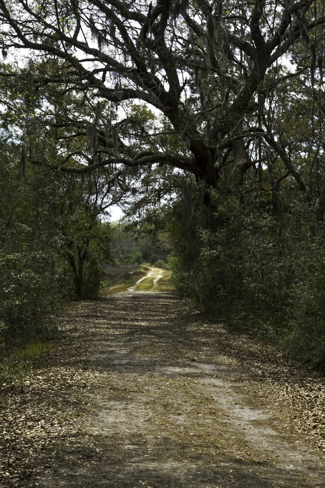
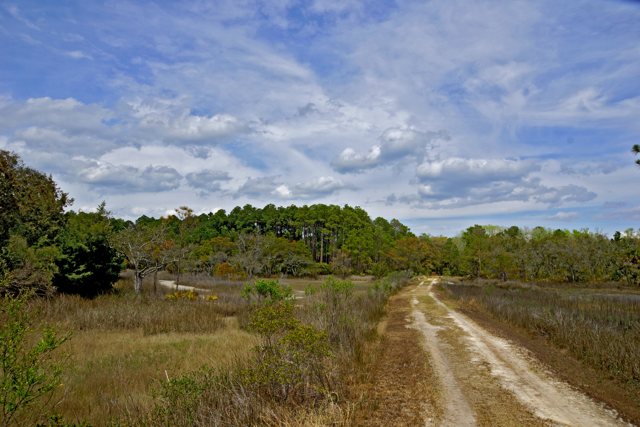
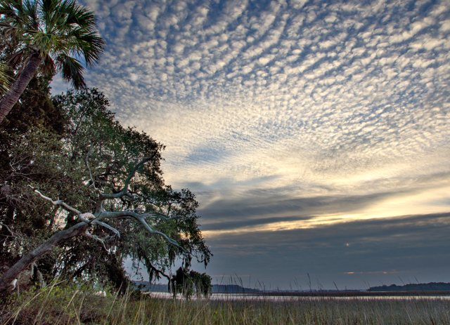
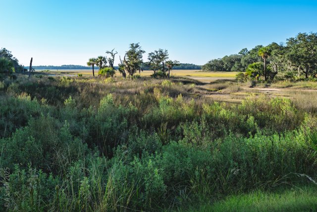
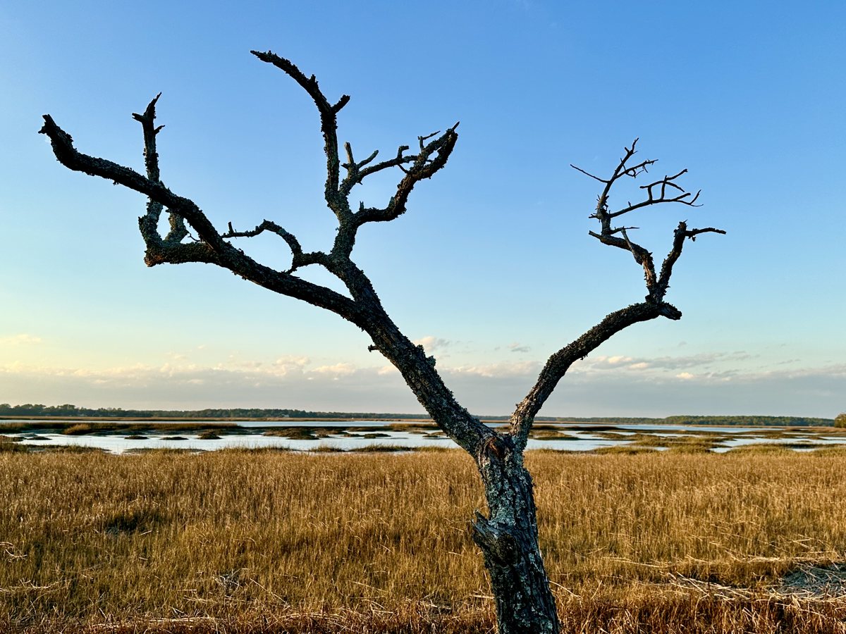
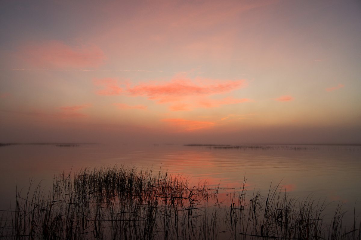
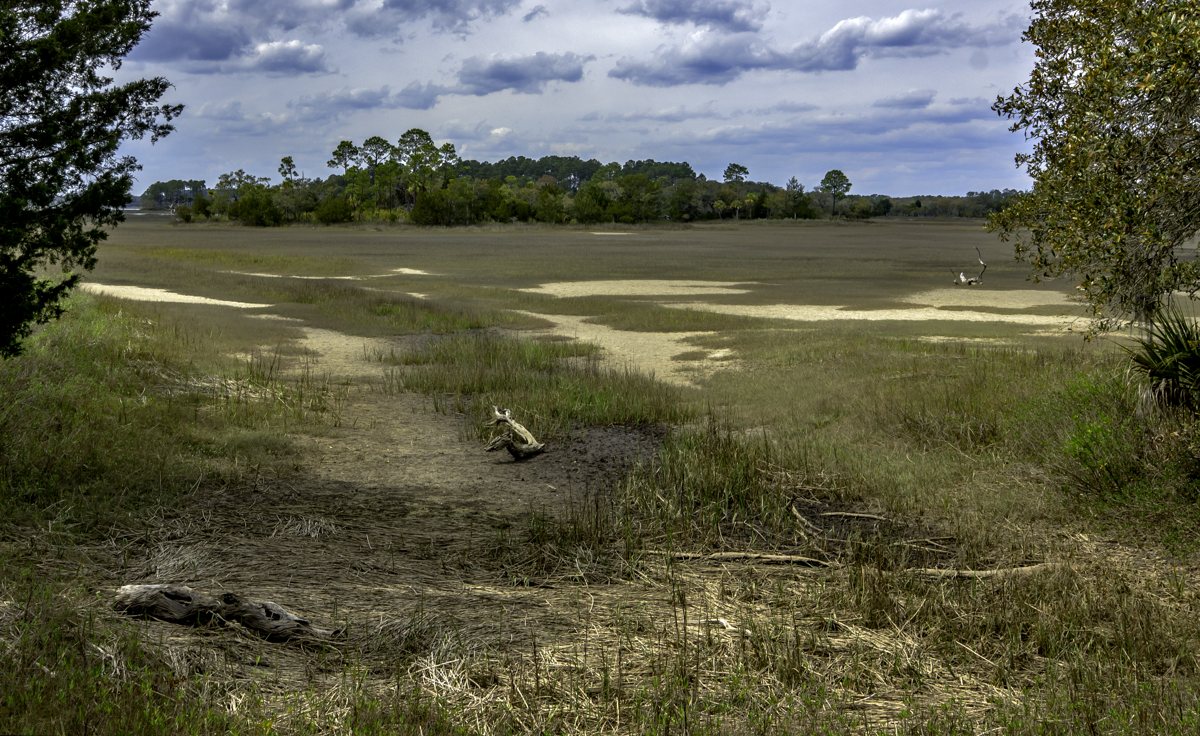
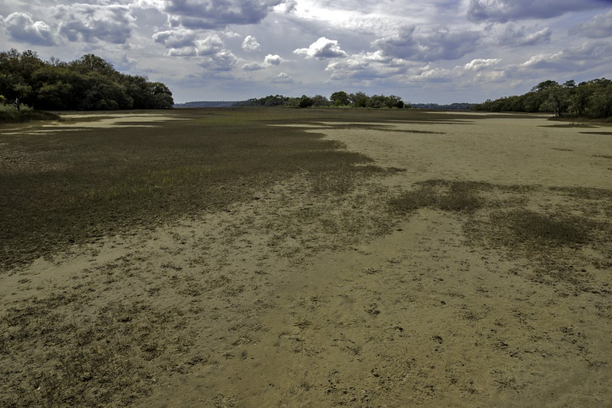
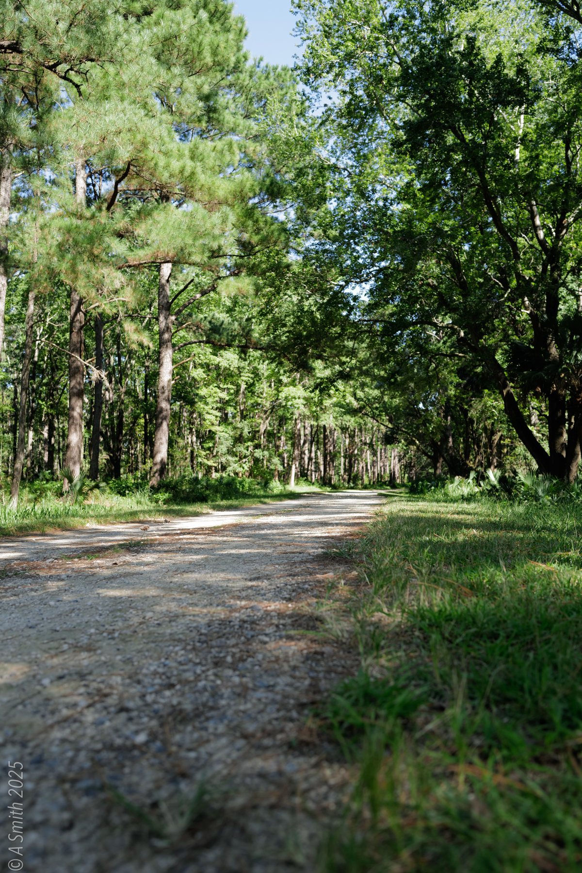
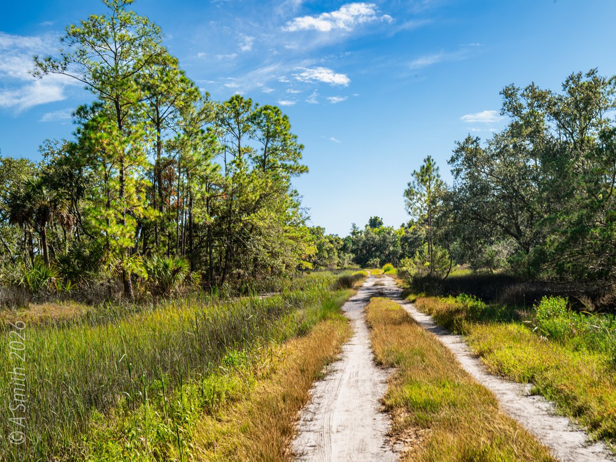
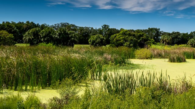
The oak road. A dirt road runs under a live oak in the island’s interior. 7,439 views on Google Maps · Photo taken Nov 2018The back road. Twin tracks cross open country toward the pinewoods. 7,055 views on Google Maps · Photo taken Dec 2018The island trail. A sandy trail through scrub and grass in the refuge interior. 5,085 views on Google Maps · Photo taken Dec 2018Sunset over the field. The sun drops behind the treeline across an open field. 4,531 views on Google Maps · Photo taken Dec 2018The snag. A bleached dead oak stands over the marsh flats. 3,706 views on Google Maps · Photo taken Jan 2024Pink over the water. A soft pink sunset reflects on still water at the marsh edge. 1,904 views on Google Maps · Photo taken Dec 2018The salt pan. A broad, dry pan opens between the marsh and the woods. 1,692 views on Google Maps · Photo taken Dec 2018Low-tide mudflats. The tide leaves wide flats of sand and mud. 1,005 views on Google Maps · Photo taken Dec 2018The white road. The refuge’s pale road curves through dark pinewoods. 997 views on Google Maps · Photo taken Nov 2018The canopy road. Oaks close over the road in the island’s middle. 903 views on Google Maps · Photo taken Dec 2018The leaf trail. Fallen leaves cover a quiet path through the woods. 676 views on Google Maps · Photo taken Dec 2018Sunrise on the marsh. First light gilds the water between the cordgrass. 626 views on Google Maps · Photo taken Nov 2018Tidal flats. Channels pattern the flats at low water. 421 views on Google Maps · Photo taken Feb 2024Oak and sky. A live oak and palmetto under a mackerel sky. 354 views on Google Maps · Photo taken Dec 2018The Pinckney Island marker. The state historical marker near the refuge entrance tells the island’s story. 198 views on Google Maps · Photo taken Jan 2024The refuge sign. The refuge information sign stands at a junction of the interior roads. 109 views on Google Maps · Photo taken Jan 2024Marsh and open water. A wide marsh view toward the island’s north end. 85 views on Google Maps · Photo taken Oct 2025An ibis feeding. A white ibis probes the mud at the water’s edge. 81 views on Google Maps · Photo taken Sep 2025The pine road. Sunlight stripes the road through the pinewoods. 72 views on Google Maps · Photo taken Sep 2025A refuge road. Sand tracks run through grass and pines in the island’s interior. 42 views on Google Maps · Photo taken Sep 2026Creek view. Blue water beyond the marsh grass, framed by an oak. · Photo taken Sep 2026Palmettos. Saw palmettos crowd the understory along the road. · Photo taken Oct 2025The marsh pan. A shallow pan glints between the grass and the treeline. · Photo taken Oct 2025Pine woods. The road runs straight through tall, open pinewoods. · Photo taken Sep 2026Oak over water. A moss-draped limb reaches over the marsh toward open water. · Photo taken Sep 2026Shade on the road. Pines and palmettos shade a quiet stretch of road. · Photo taken Sep 2025A gray squirrel. A squirrel pauses on a trunk in the refuge woods. · Photo taken Sep 2025A heron, wings spread. A great blue heron dries its wings in the marsh grass. · Photo taken Sep 2025Green marsh. Summer-green marsh stretches toward the far treeline. · Photo taken Oct 2025The bench. A bench under a spreading oak looks over the water. · Photo taken Sep 2026See Pinckney Island Marsh & Back Roads on Google Maps
31 photos: 50,945 views on Google Maps — and counting.
 Hilton Head