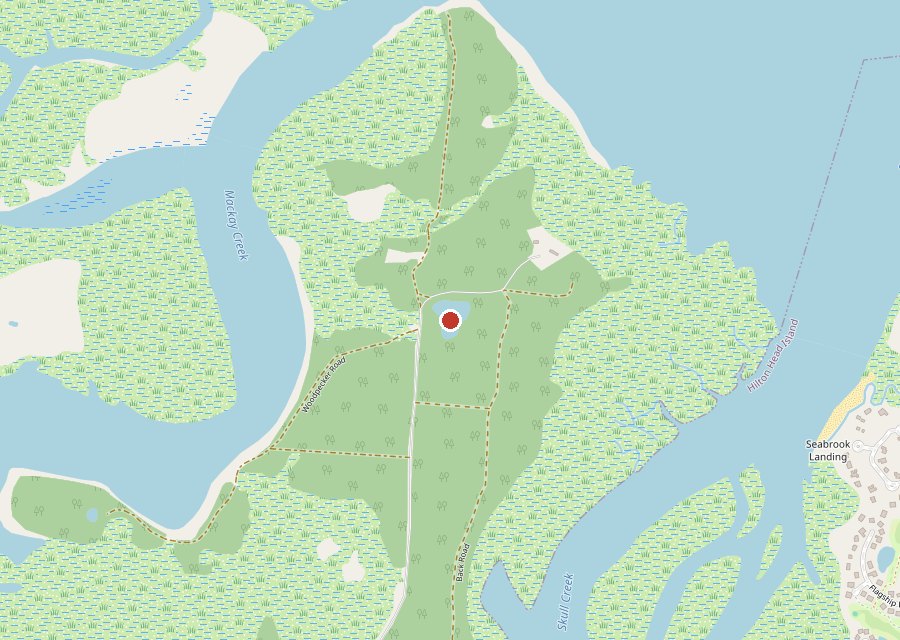
Location: Interior of Pinckney Island, Pinckney Island National Wildlife Refuge
Category: Pond
Best For: Pond views, shaded roads, marsh creeks
The Archive: 17 photos · 11,690 views on Google Maps
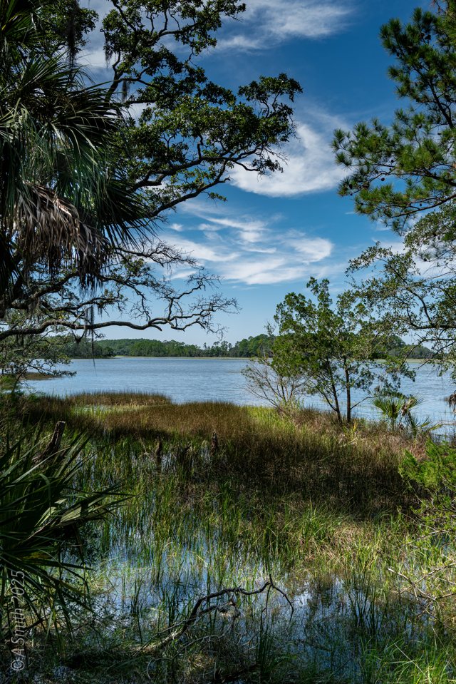
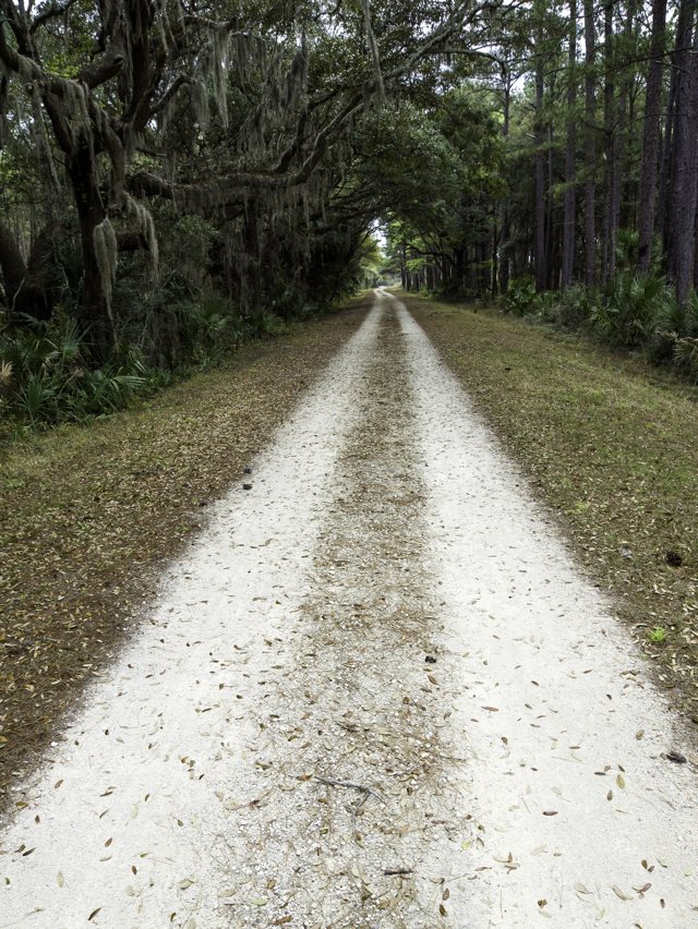
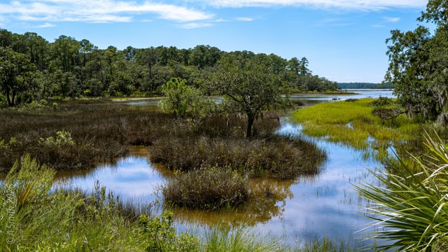
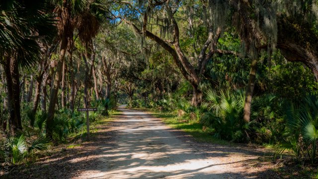
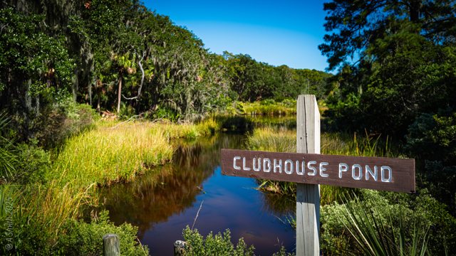
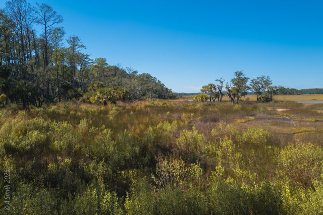
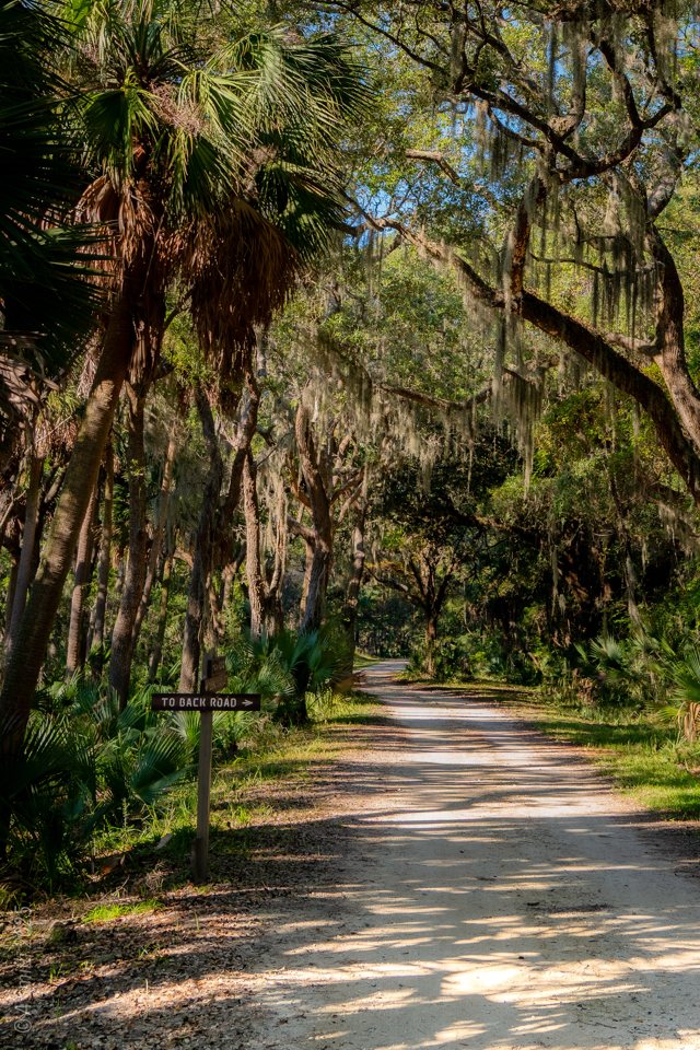
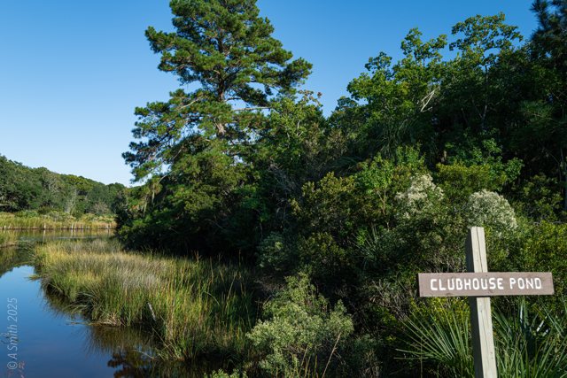
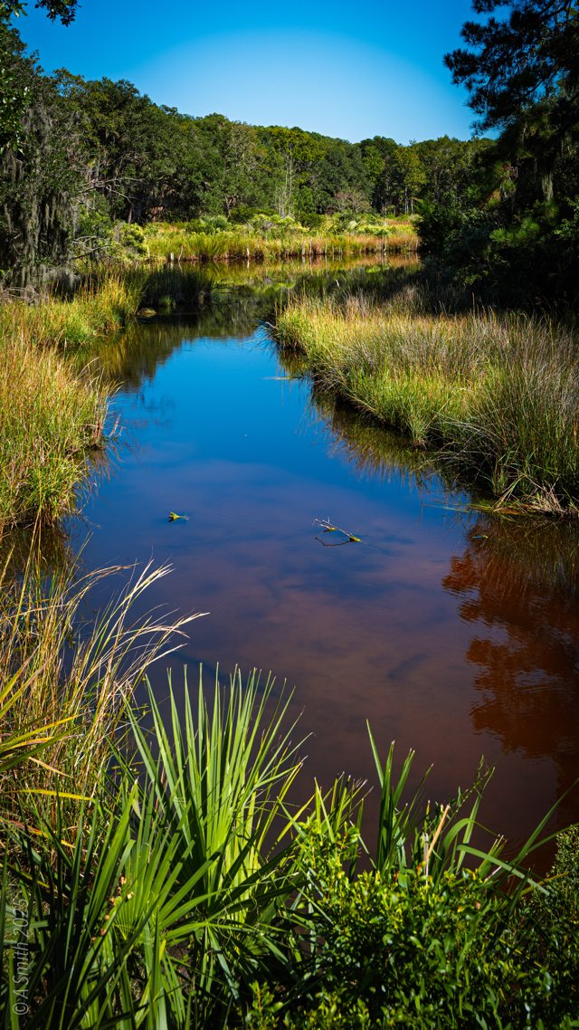
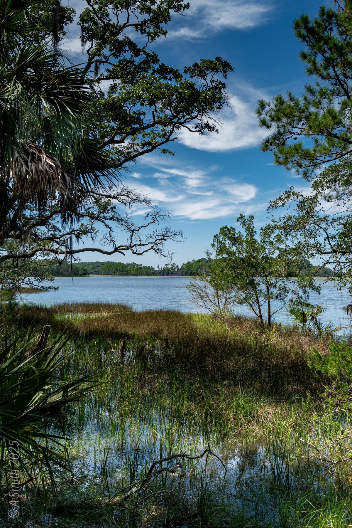
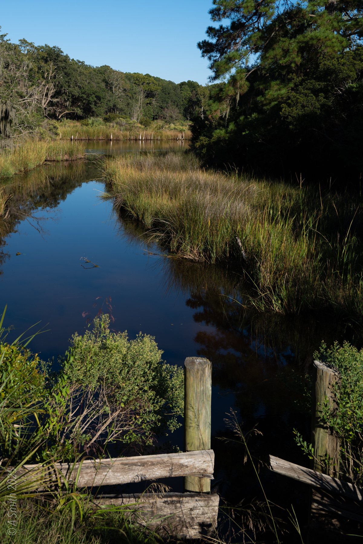
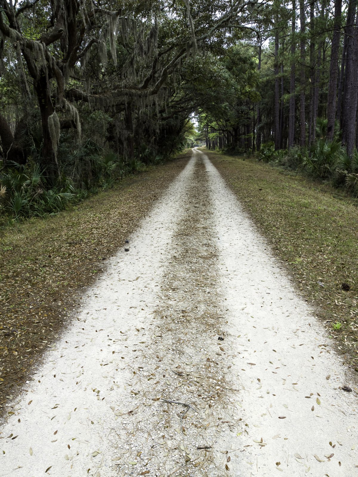
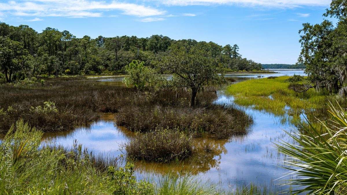
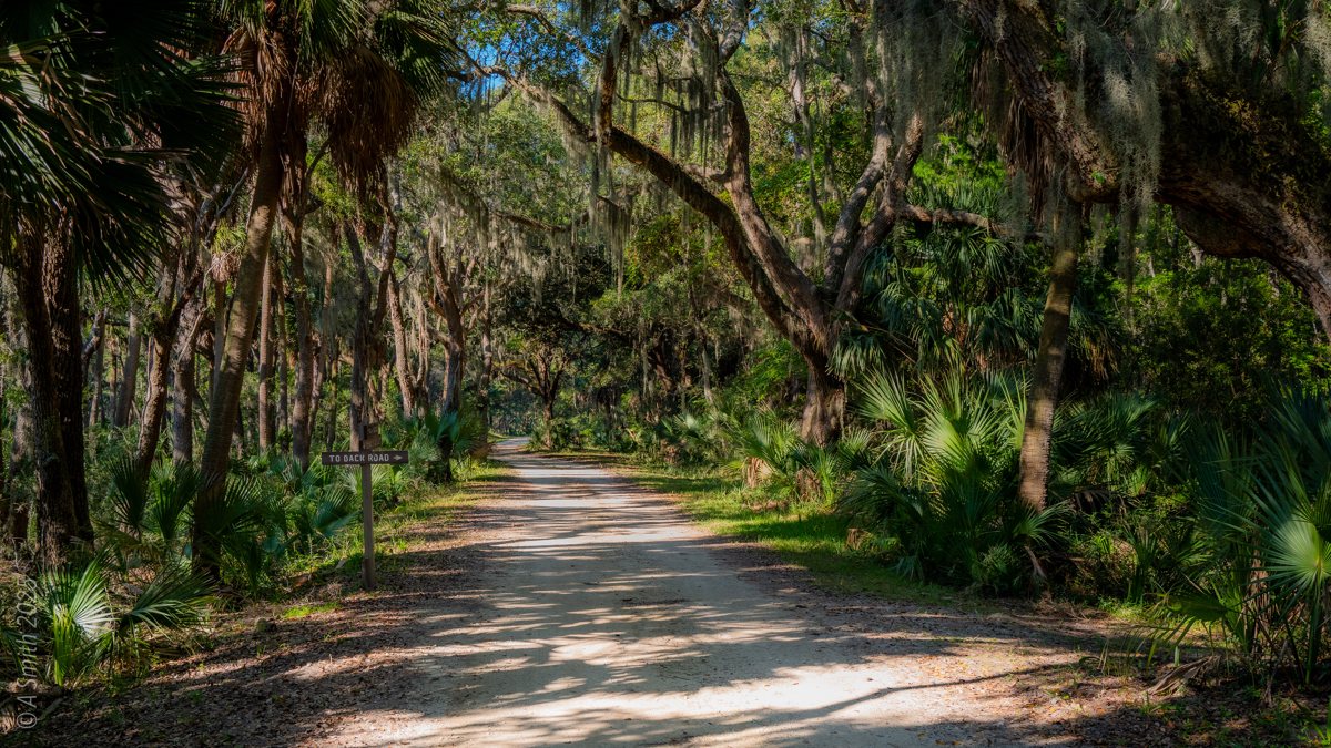
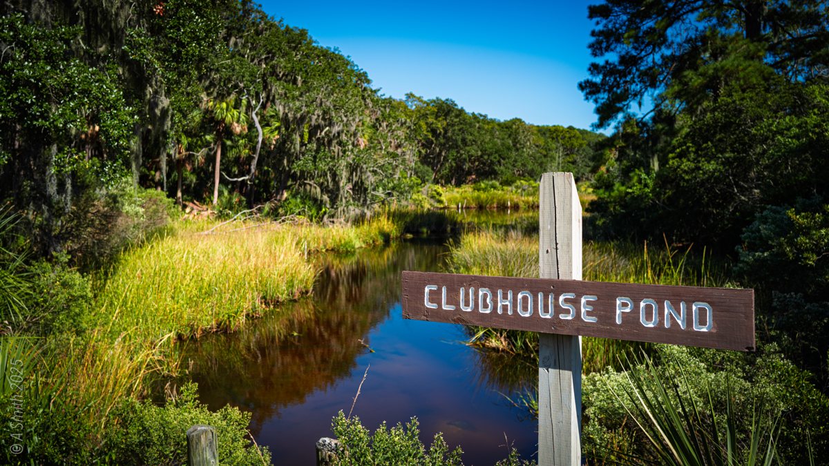
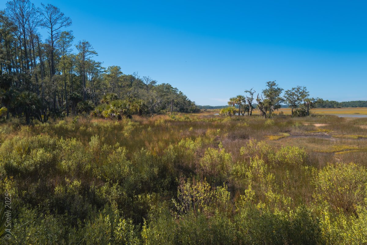
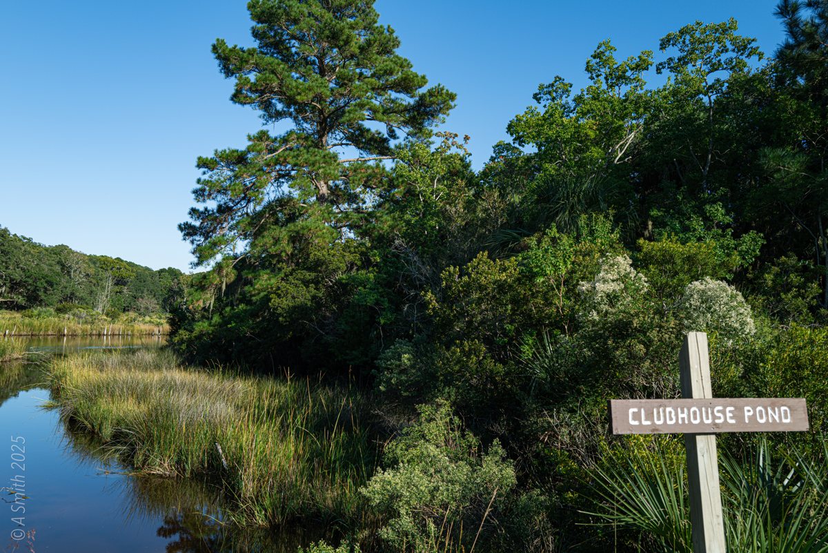
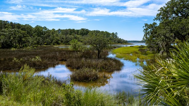
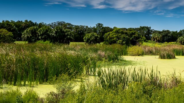
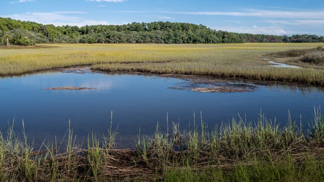
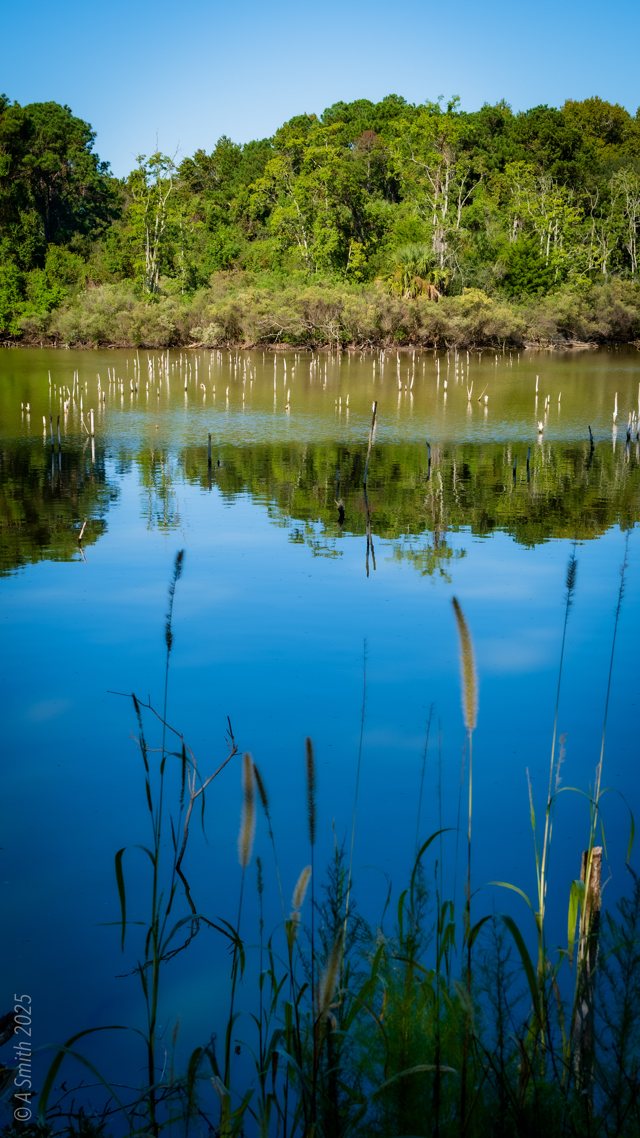
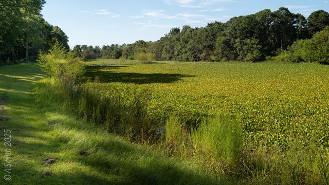
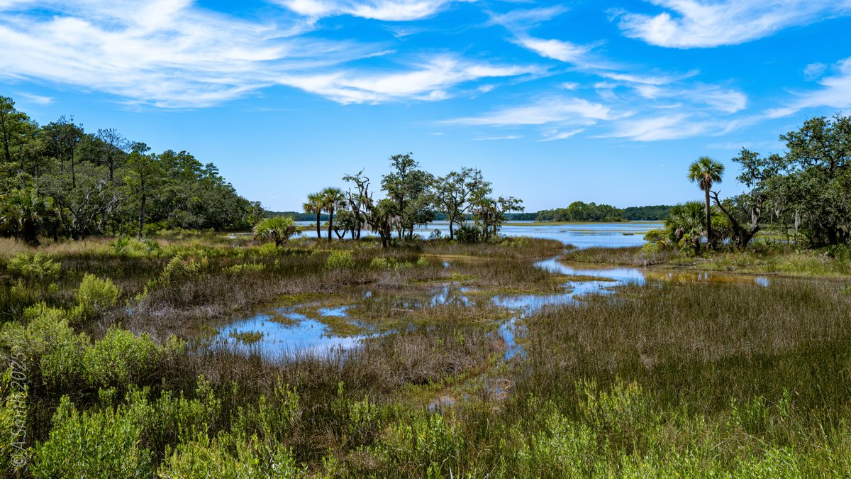
Clubhouse Pond is one of the named freshwater ponds in the middle of Pinckney Island, marked by its own refuge sign where the road passes. The pond sits in a bowl of pines and live oaks, with a marsh creek draining out of it. The photos circle the whole stop: the sign and the gate, the creek below the pond, the meadow on its far side, and the white-sand roads that lead in from every direction. This photo has been viewed 1,874 times on Google Maps.
Key Takeaways
Clubhouse Pond is a signed stop on the refuge road network, in the island’s interior.
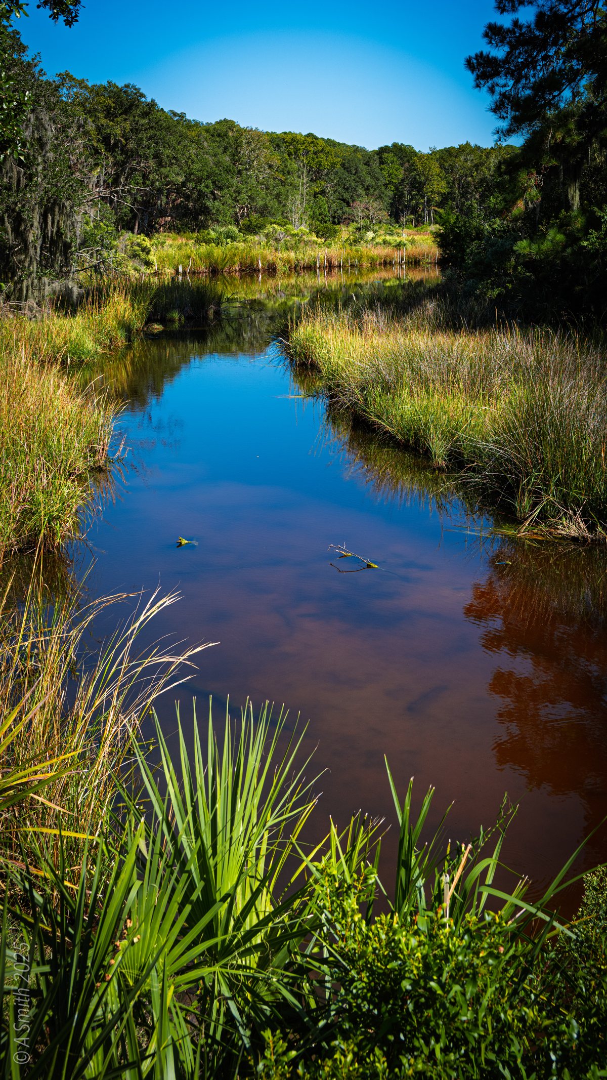
A marsh creek drains the pond through the trees.
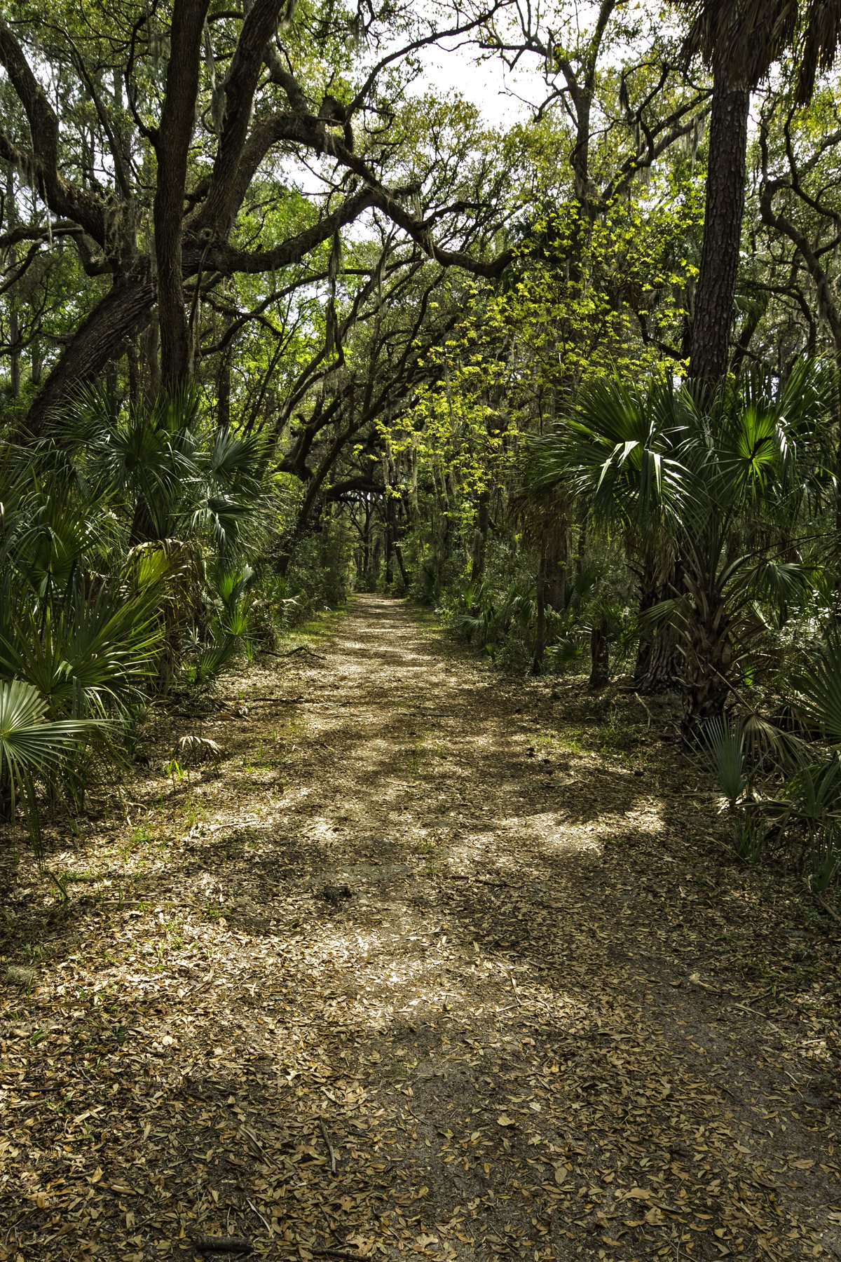
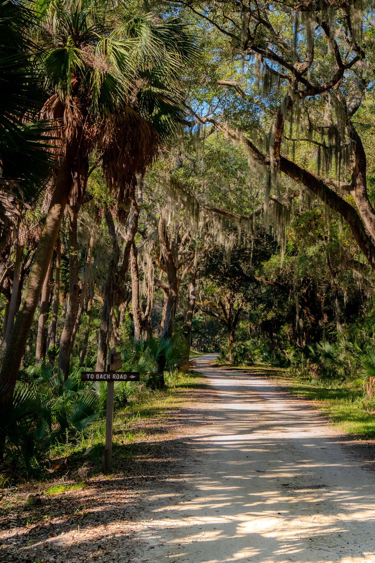
White-sand roads and oak canopy surround the pond on every side.
17 photos · 11,690 views on Google Maps.
Tagged Features
The signed pondOutlet & tidal creeksThe marsh meadowWhite-sand refuge roadsPine & oak woods
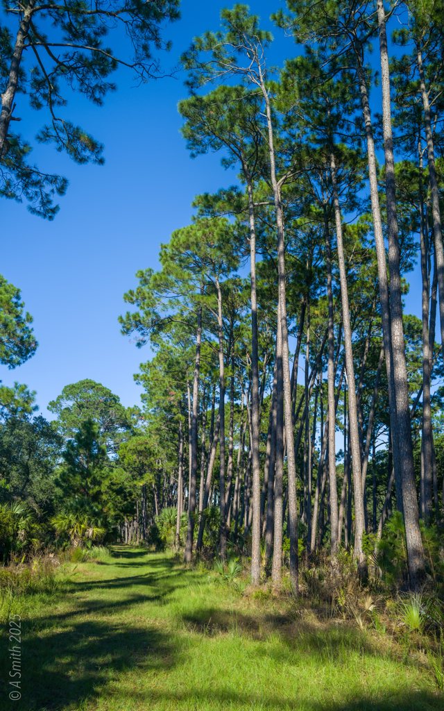
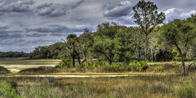
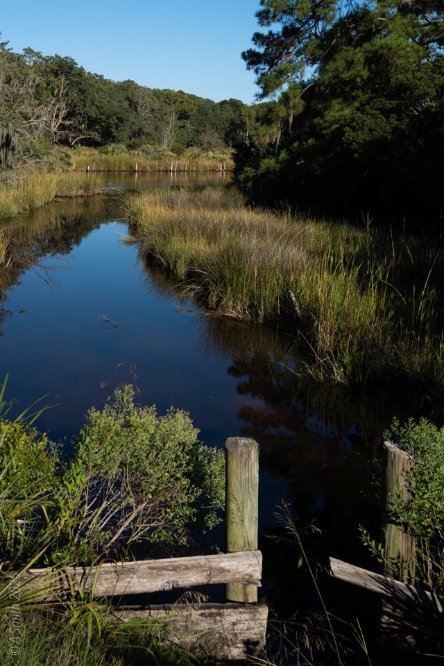
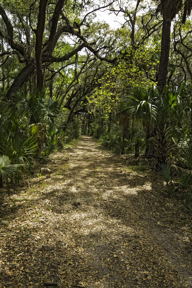
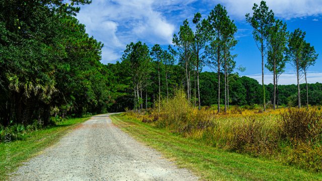
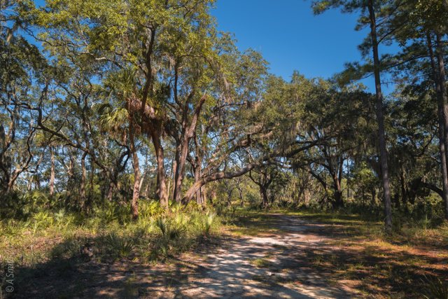
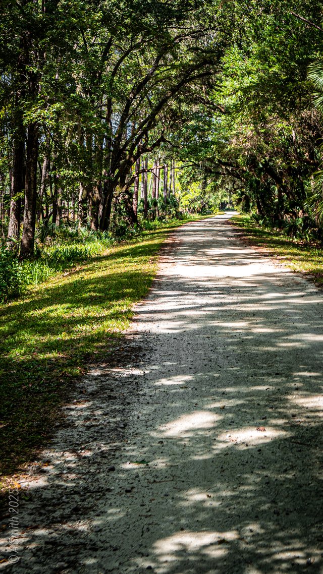
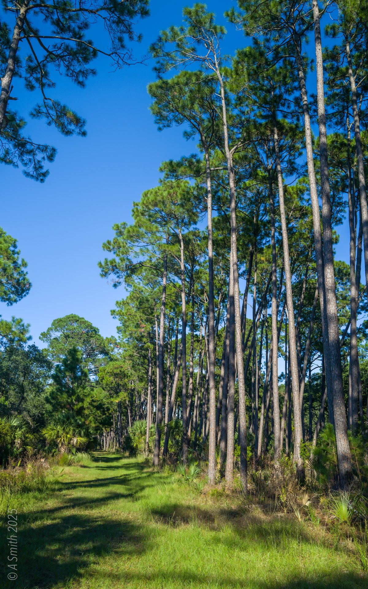
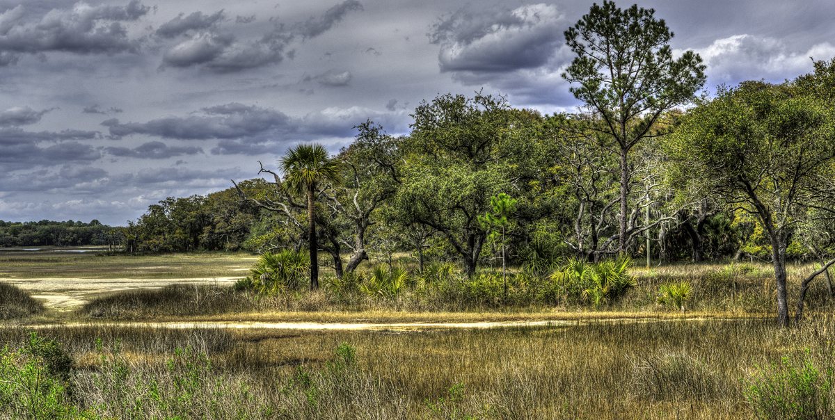
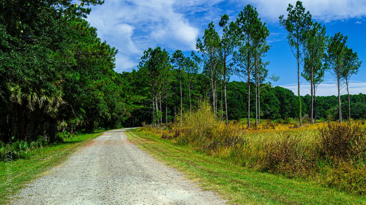
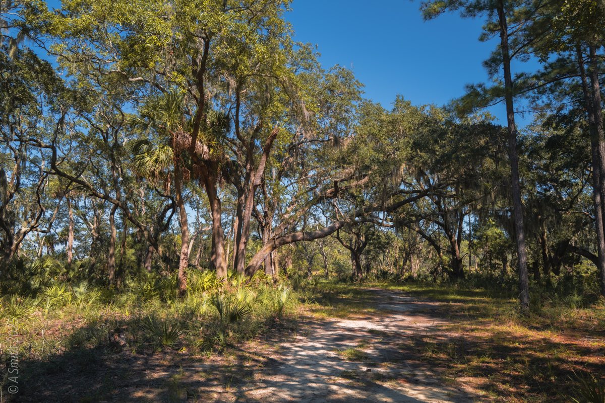
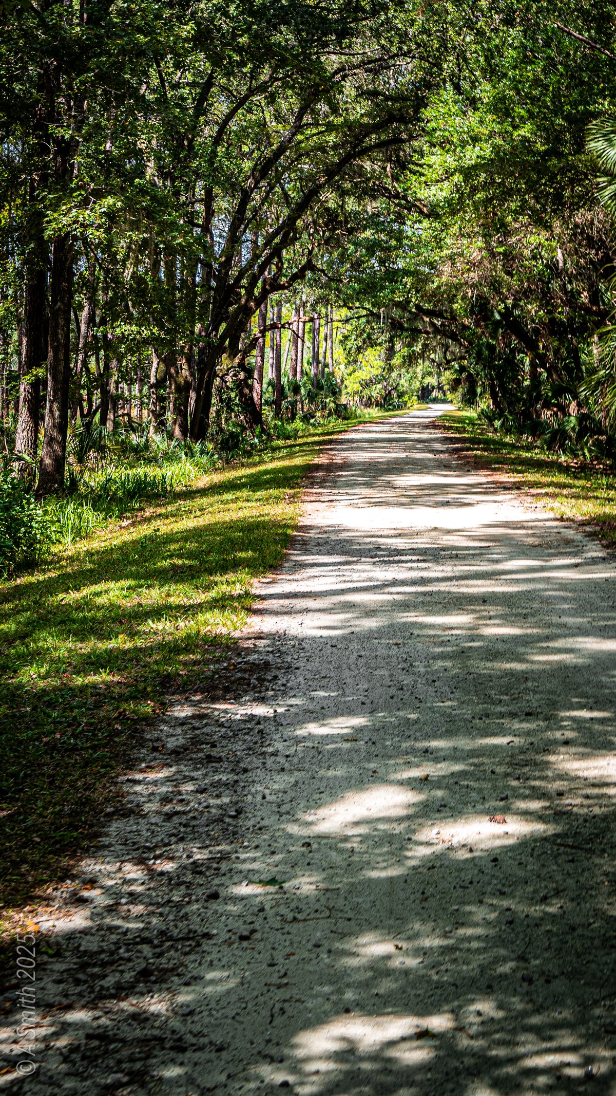
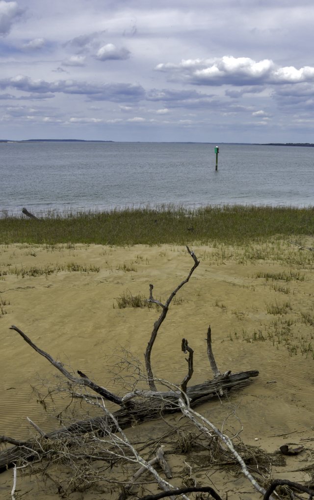
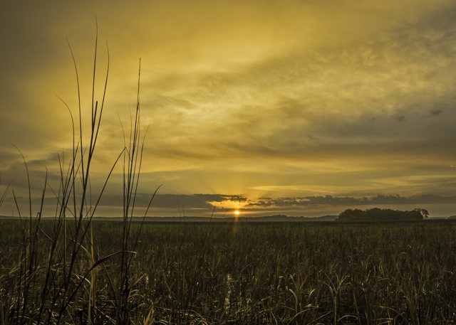
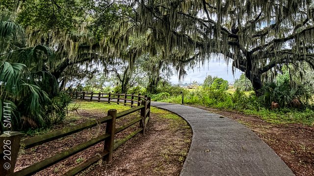
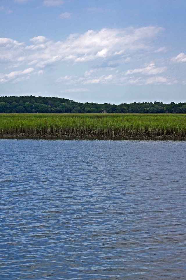
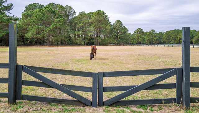
The creek through the trees. A marsh creek winds past the pines near Clubhouse Pond. 1,030 views on Google Maps · Photo taken Sep 2025Tall pines. The refuge road passes a stand of tall pines on the way to the pond. 989 views on Google Maps · Photo taken Oct 2025Marsh and meadow. Open grass and marsh stretch out under a heavy sky. 945 views on Google Maps · Photo taken Nov 2018The pond gate. A wooden gate crosses the ditch at the edge of Clubhouse Pond. 915 views on Google Maps · Photo taken Oct 2025The sand road. The refuge’s white-sand road runs straight through the woods. 885 views on Google Maps · Photo taken Nov 2018A path in the woods. Leaf litter and palmettos line the walking path. 695 views on Google Maps · Photo taken Nov 2018Tidal creek. Still water mirrors the sky in the creek below the pond. 674 views on Google Maps · Photo taken Sep 2025Under the oaks. Live oaks shade the refuge road near the pond. 625 views on Google Maps · Photo taken Oct 2025The pond meadow. Grasses and wildflowers fill the low ground by Clubhouse Pond. 606 views on Google Maps · Photo taken Sep 2025Oaks over the road. A break in the trees where the road passes the pond. 561 views on Google Maps · Photo taken Oct 2025Shade on the road. The canopy closes over the road in the island’s interior. 438 views on Google Maps · Photo taken Sep 2025The Clubhouse Pond sign. The refuge sign marks the pond beside its outlet creek. 358 views on Google Maps · Photo taken Oct 2025A grassy track. A two-track leads through pines and open grass. 344 views on Google Maps · Photo taken Oct 2025The canopy path. Moss-draped oaks arch over the walking path. 279 views on Google Maps · Photo taken Oct 2025Clubhouse Pond. The pond from its sign — still water and pine woods. 238 views on Google Maps · Photo taken Oct 2025The outlet creek. Dark water bends through the marsh grass below the pond. 234 views on Google Maps · Photo taken Oct 2025See Clubhouse Pond on Google Maps
17 photos: 11,690 views on Google Maps — and counting.